
9 - Tour de Mont-Dauphin en VTT
Sport, Cycling sports, Mountain biking itinerary
in Saint-Crépin
15.0
km
1h 30min
Medium
-
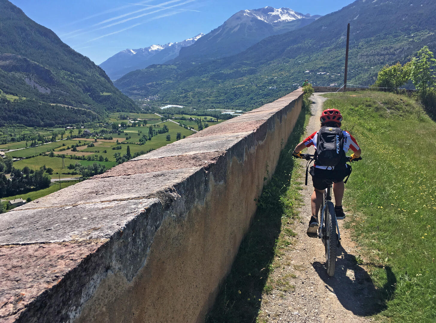
A very rolling route between distant panoramas and the narrow streets of Mont Dauphin.
-
If you're a fan of Vélo piano piano, we've got this for you too! This relaxed tour takes you through the hamlets and communal paths to the impressive ramparts of the fortress of Mont-dauphin, the stone giant emblematic of the Guillestrois region and Vauban's Unesco-listed masterpiece.
Two departure options are available: from the St Crépin airfield parking lot, or from the leisure center at Eygliers.
- Departure
- Saint-Crépin
-
-
Difference in height
- 211 m
-
-
-
Plain text period
- From 01/06 to 01/11 daily.
-
-
-
Spoken languages
-
-
-
-
-
Documentation
- GPX / KML files allow you to export the trail of your hike to your GPS (or other navigation tool)
-
- 211 meters of difference in height
-
- Maximum altitude : 1056 m
- Minimum altitude : 888 m
- Total positive elevation : 211 m
- Total negative elevation : -211 m
- Max positive elevation : 136 m
- Min positive elevation : -121 m


