
6 - Pinfol en VTT
Sport, Cycling sports, Mountain biking itinerary
in Saint-Clément-sur-Durance
15.9
km
2h 30min
Hard
-
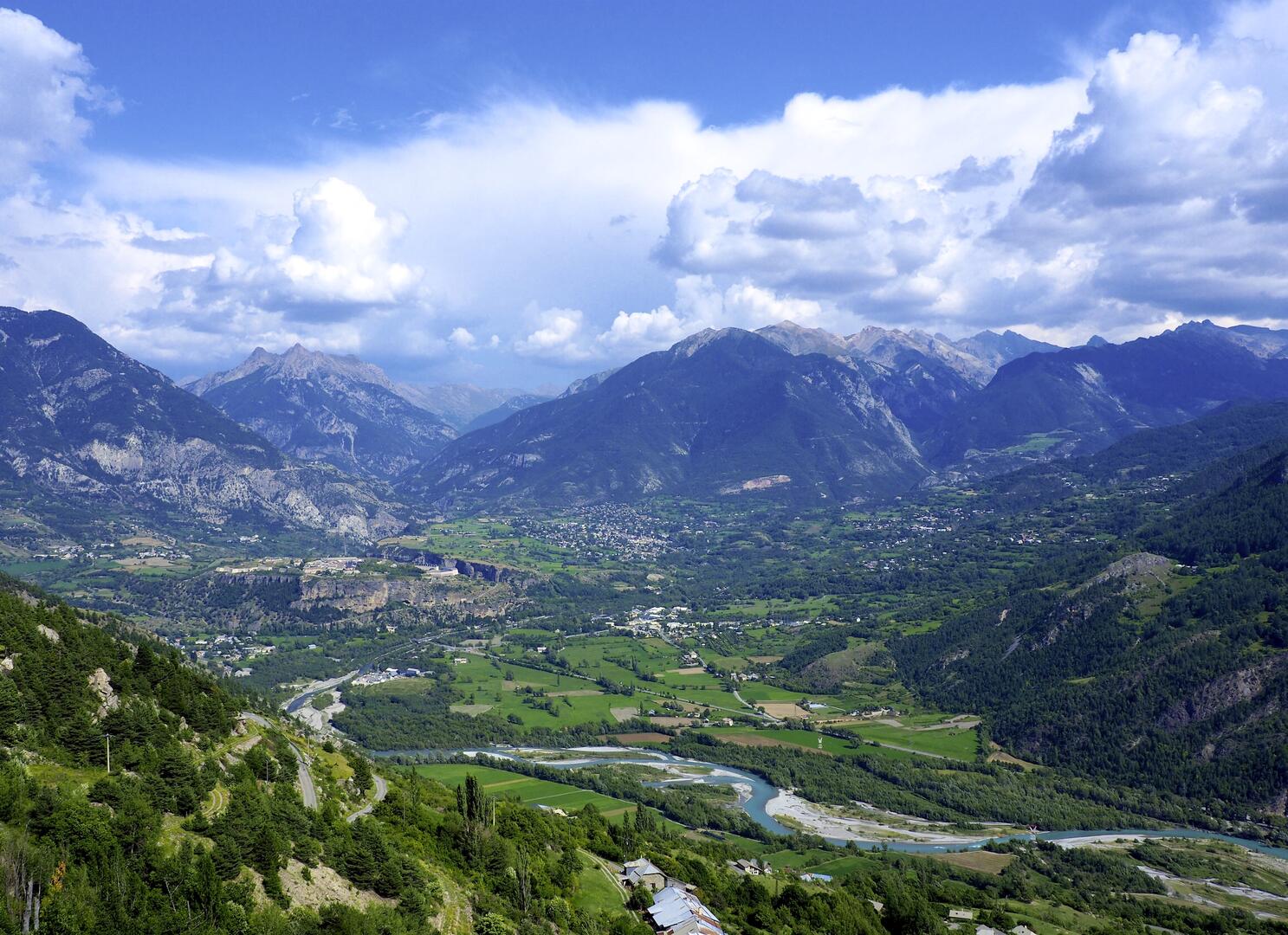
A challenging and challenging route, for unbeatable views of the Guillestrois region
-
A beautiful balcony loop where the gradients and technical sections on stony paths will get your thighs pumping! And to add pleasure to effort, the itinerary offers beautiful views over the whole of the Guillestrois region and its hamlets dotted around the mountains.
- Departure
- Saint-Clément-sur-Durance
-
-
Difference in height
- 752.667 m
-
-
-
Plain text period
- From 01/06 to 01/11 daily.
-
-
-
Spoken languages
-
-
-
-
-
Documentation
- GPX / KML files allow you to export the trail of your hike to your GPS (or other navigation tool)
-
- 753 meters of difference in height
-
- Maximum altitude : 1568 m
- Minimum altitude : 874 m
- Total positive elevation : 753 m
- Total negative elevation : -753 m
- Max positive elevation : 459 m
- Min positive elevation : -310 m


