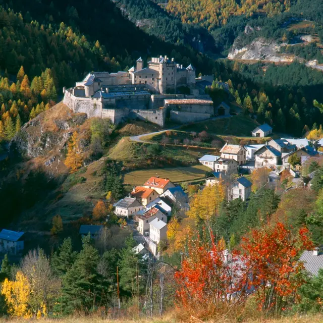
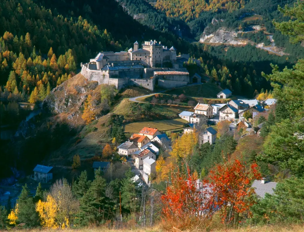
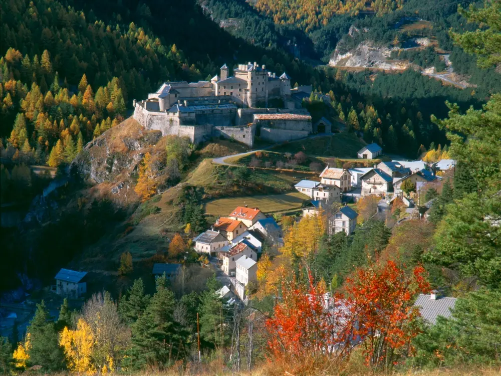
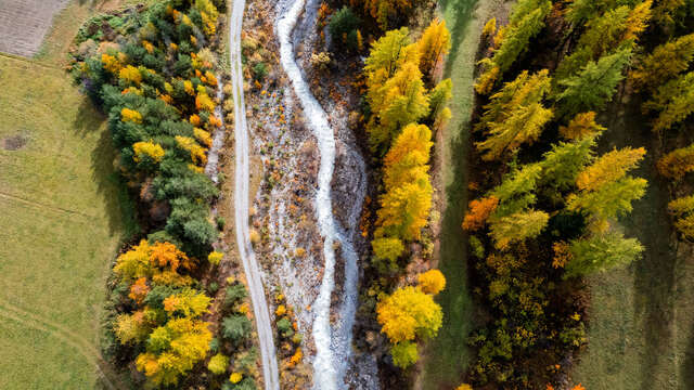
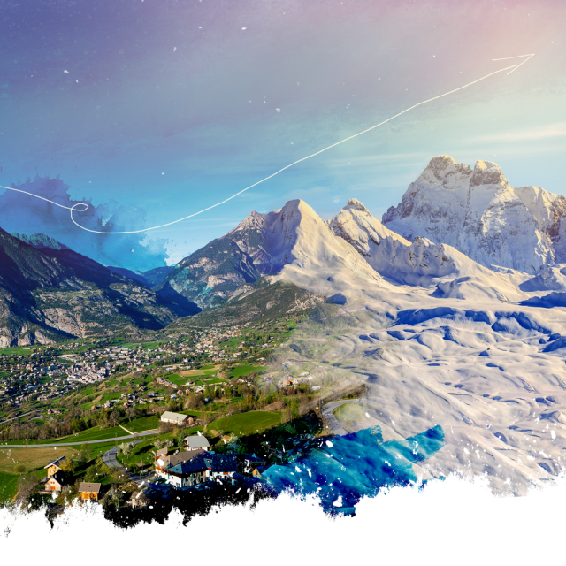
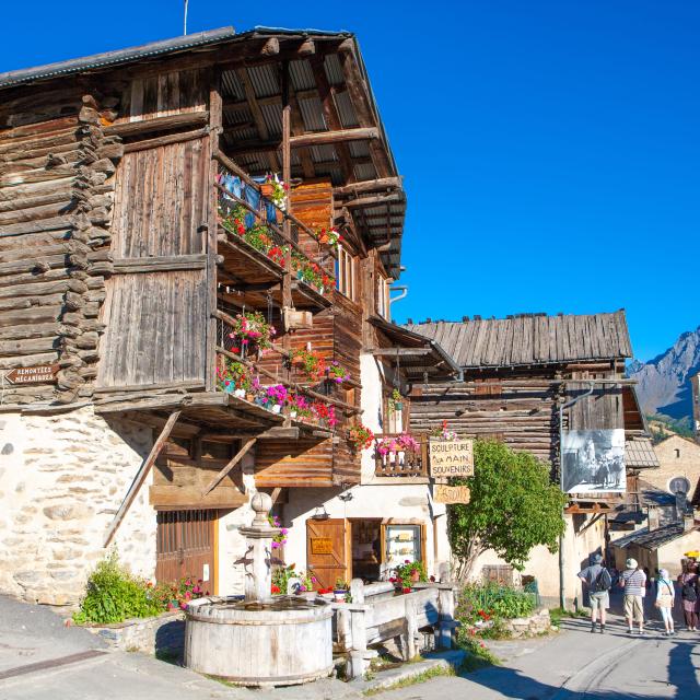
From Montbardon, turn left out of the hamlet towards the Fontantie chalets, until you reach the Sommette sheepfold. The GR winds its way across the plateau, before dropping below the two famous pointes de la Selle, or "Mamelles" to those in the know. Cross the flat meadow, with Col Fromage in sight, but turn right into the Riou Vert valley and its distinctive gypsum deposit. Follow the torrent of the same name to Montbardon, home of the famous Queyras blue cheese. As you approach the hamlet, take a look at the Oule fountain, which used to supply the village with water.
In winter, from Pont de Chanterane to Pont de Peyre Bartino, the route is a cross-country ski trail! It is therefore reserved exclusively for cross-country skiing.
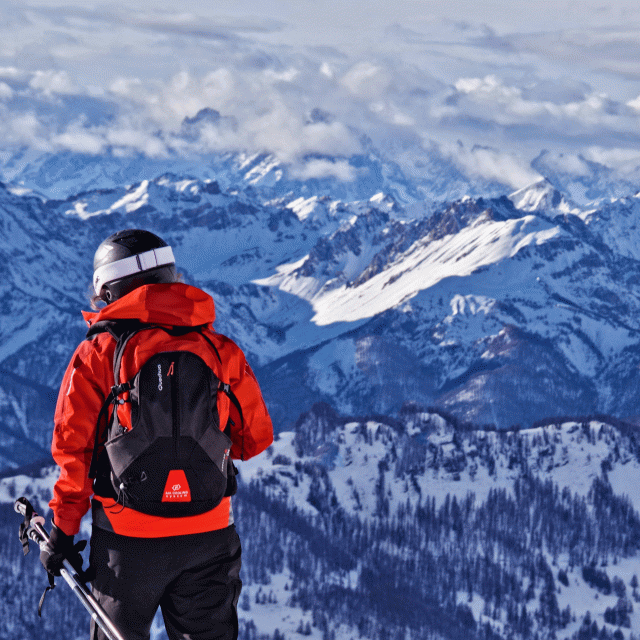
In spring and autumn, conditions are changeable, and even without snow, the trail can be icy. So, in the mountains, the reflex to adopt is "go out well-equipped". In my bag, I slip or I hang: crampons and poles.
In winter, the right reflexes are: snowshoes, poles, gloves, hat, sun cream and... a survival blanket! Experience is essential, and knowing when to give up is sometimes preferable to taking risks. And if you're new to the mountains, we advise you to seek professional advice! Before going out, I check the Météo France Montagnes and BERA bulletins (risks and avalanches).