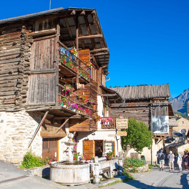
A loop to discover the neighborhoods and hamlets of St Véran.
Park in Parking Lot P3. To the west of the village, take the Route du Bois des Amoureux; after 5 minutes, at the wayside shrine, leave this road and take the trail on the left that leads downhill. (Yellow trail markers) After 10 minutes, turn left to reach La Chalp (red and yellow trail markers). Cross the hamlet, then the departmental road. Cross the bridge, then turn left to head back up to the Pont du Moulin (yellow trail markers). Then take the GR58 toward St. Véran (red and white markings). The trail climbs, passing by Le Raux and a small cemetery, and comes out onto the road at a Mission Cross. After the visitor center, take the street that climbs to the right to explore the village. When you reach the Auberge Costebelle, turn left and stay on this main road, crossing the entire village until you reach the RV parking lot (P3);
In spring and fall, conditions are changeable; even without snow, the trail can be icy. Therefore, when in the mountains, the rule of thumb is to “go out well-equipped.” In my backpack, I slip in or clip on: crampons and trekking poles.
In winter, the essentials are: snowshoes, poles, gloves, a hat, sunscreen, and… a survival blanket! Experience is necessary, and knowing when to turn back is sometimes better than taking risks. And for newcomers to the mountains, we recommend hiring a professional guide! Before heading out, I check the Météo France Montagnes reports and the BERA (avalanche and risk alerts).
Please note: Starting October 5, 2026, the trail will be closed to pedestrians, mountain bikes, and all other modes of transportation from the hamlet of La Chalp-Ste Agathe toward the Molines Hill Reserve for a period of 15 days, renewable.