Col Agnel

  • Mountain pass
Elevation : 2744m
05350 Molines-en-Queyras

Description

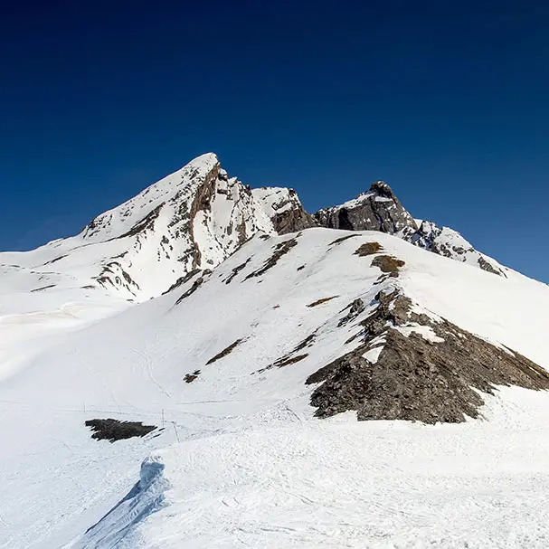
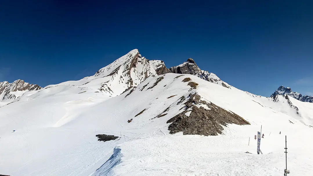
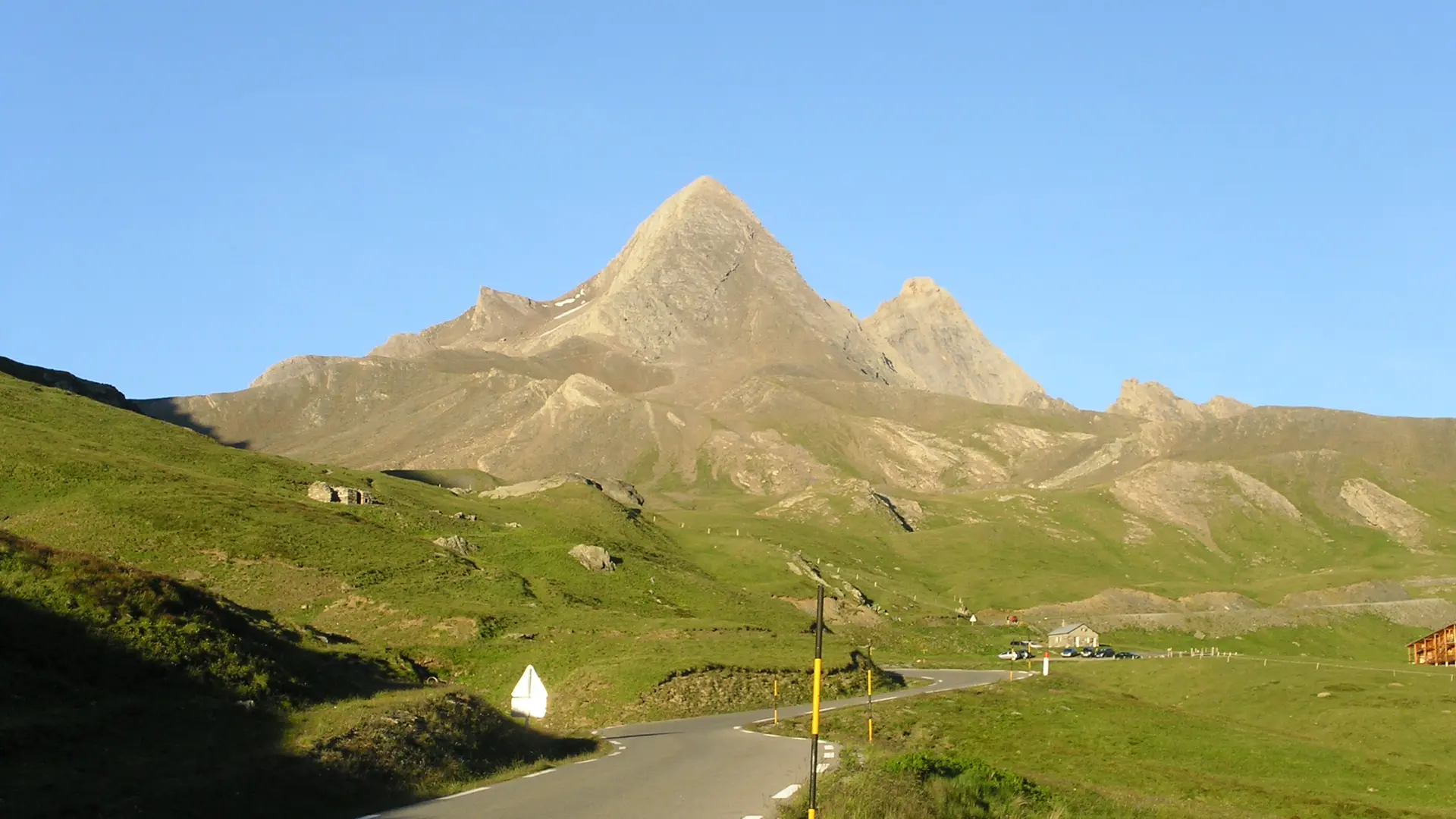
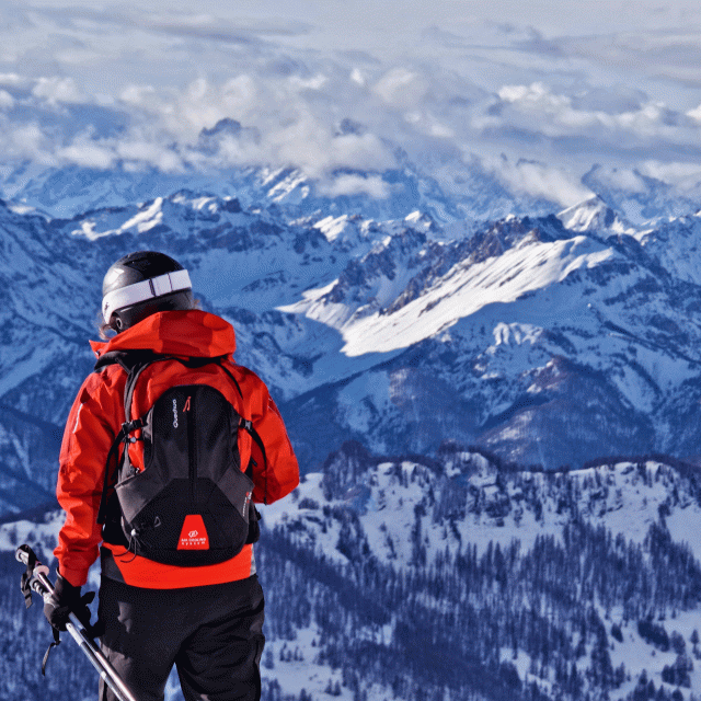
The Col Agnel, the second-highest pass in the French Alps, is the gateway from the Queyras Regional Nature Park to the Val Varaita in Piedmont. A pass dominated by imposing peaks: the Taillante ridge, Pain de Sucre, Pic d'Asti and Mont Viso.
Located at the bottom of Aigue Agnelle valley, the Col Agnel is a must for cycling enthusiasts, and is regularly used by riders in the Italian Giro. Make a pitstop at the Agnel refuge, before reaching the Col Agnel at 2,744 m, the only road between the Queyras and Italy. From here, you can gaze across the Val Varaïta from this magnificent viewpoint. Europe's highest border pass boasts an exceptional view of Mont Viso; it is also the starting point for numerous hikes to lakes Foréant, Egorgéou and Baricle.


Services

Car park

Openings

From 16 June 2026 until 20 September 2026 - Open everyday
From 21 September 2026 until 2 October 2026
Closed due to road construction
From 3 October 2026 until 10 November 2026 - Open everyday
The closing date is an estimate, give or take 15 days.

Subject to favorable weather
Subject to snow conditions

Location

Col Agnel
Elevation : 2744m
05350 Molines-en-Queyras

Plan interactif : 1 lieux répertoriés.

  • Lieu sans nom

Environment

Environment
  • Mountain location

Nearby

Itinéraires à découvrir

Itinéraires à découvrir
Updated on 18 September 2026 at 10:11
by Office de tourisme du Guillestrois et du Queyras
(Offer identifier : 515723)
Page suggestions
Filter search
Page types
  • All
  • Articles
  • Agenda
  • Lists