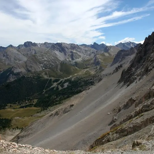
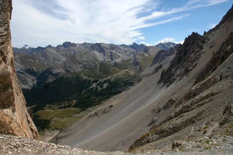
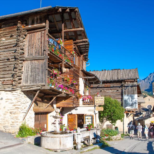
From the parking lot, walk along the Mélezet torrent before turning right onto the path leading to Lac Miroir. Leave the GR at the first fork on the right, before the footbridge, to climb the ruisseau de la pisse to the Pas du curé. From the pass, you can admire Mont Viso on one side and the Vallon des Pelouses on the other, a paradise for alpine flowers and marmots. Further on, at the Andrevez sheepfold, a short climb to the right reveals a magnificent view of the Ecrins. The trail continues on a balcony to the Mourière belvedere, this time with a beautiful view over the Ceillac valley. The descent through the woods is steep at times, before reaching the village at a leisurely pace.
In winter, from Pont de Chanterane to Pont de Peyre Bartino, the route is a cross-country ski trail! It is therefore reserved exclusively for cross-country skiing.
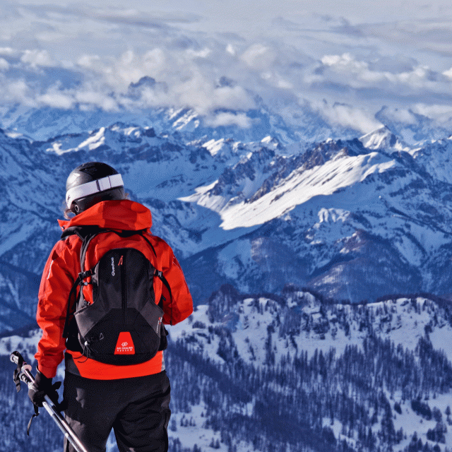
In spring and autumn, conditions are changeable, and even without snow, the trail can be icy. So, in the mountains, the reflex to adopt is "go out well-equipped". In my bag, I slip or I hang: crampons and poles.
In winter, the right reflexes are: snowshoes, poles, gloves, hat, sun cream and... a survival blanket! Experience is essential, and knowing when to give up is sometimes preferable to taking risks. And if you're new to the mountains, we advise you to seek professional advice! Before going out, I check the Météo France Montagnes and BERA bulletins (risks and avalanches).