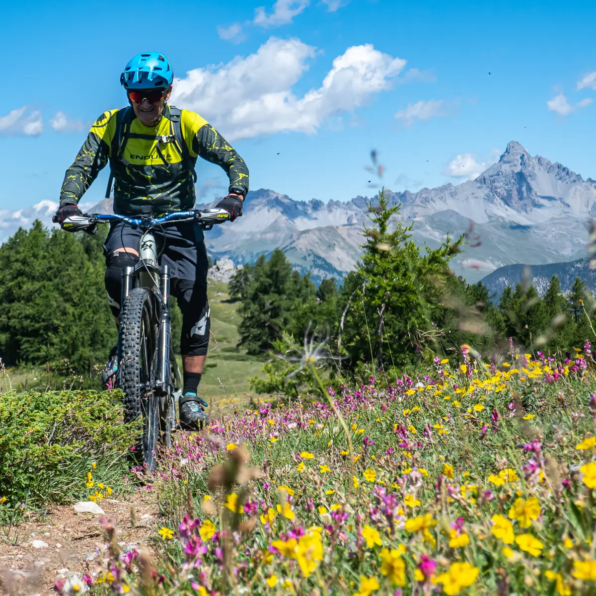
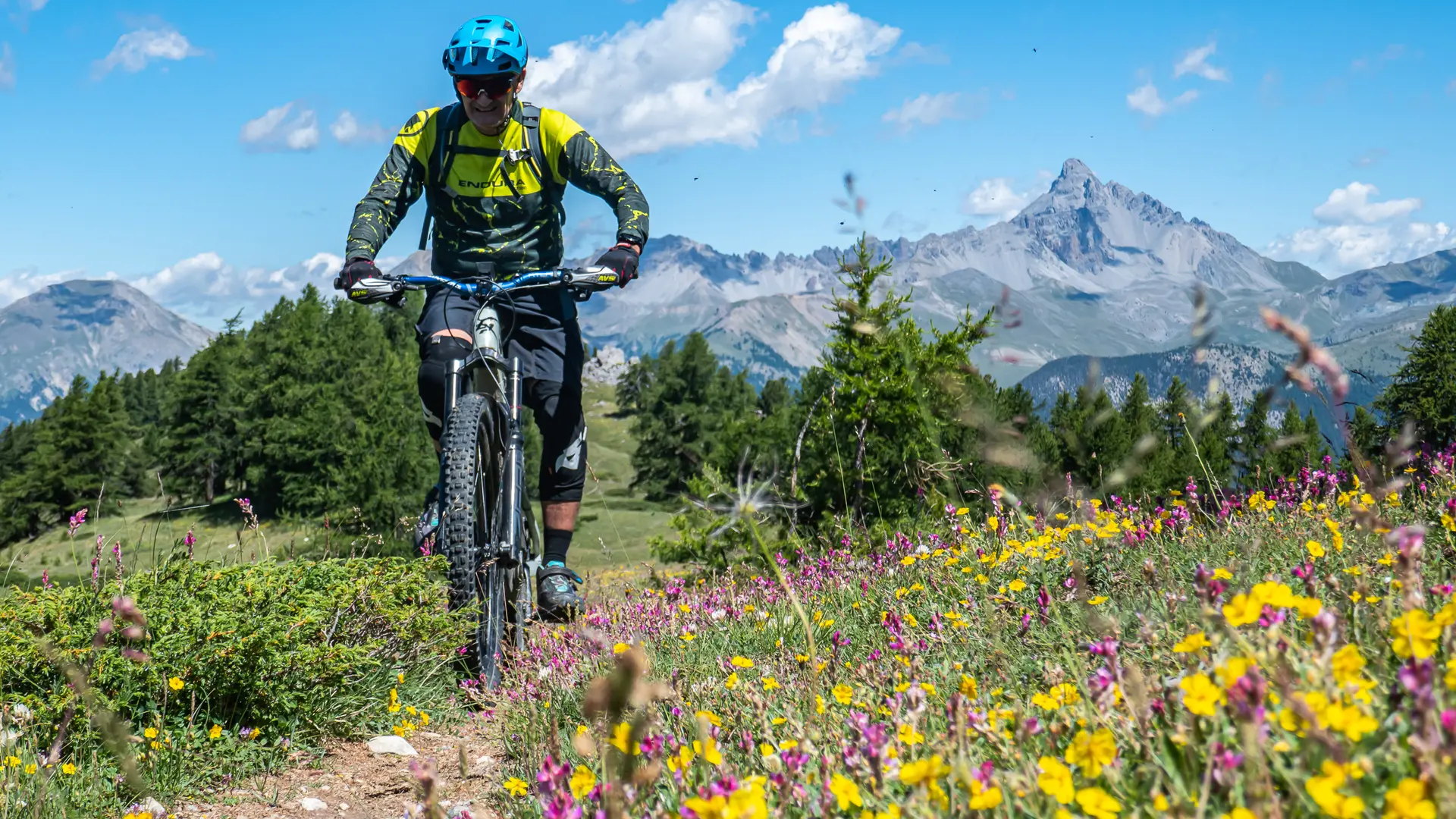
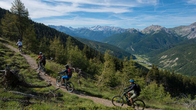
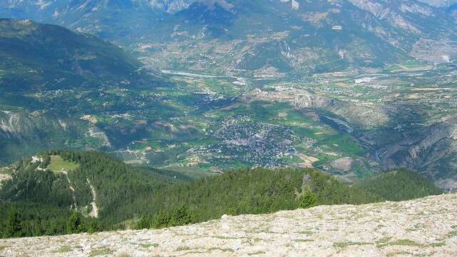
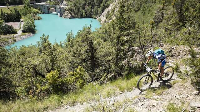
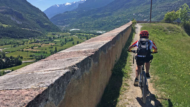
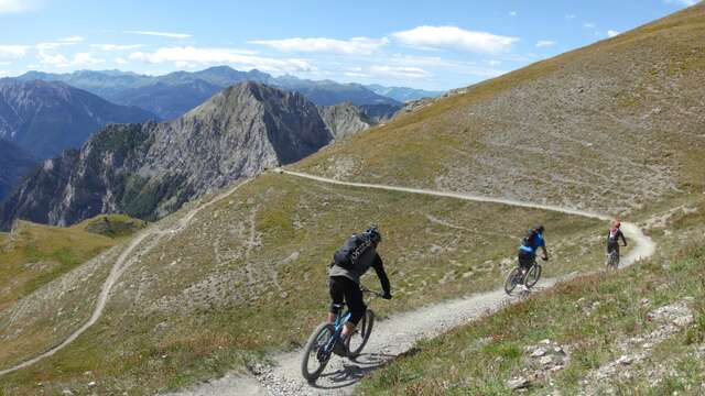
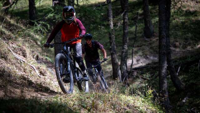
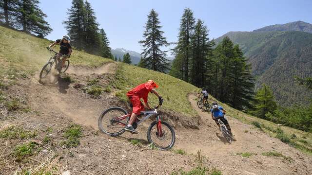
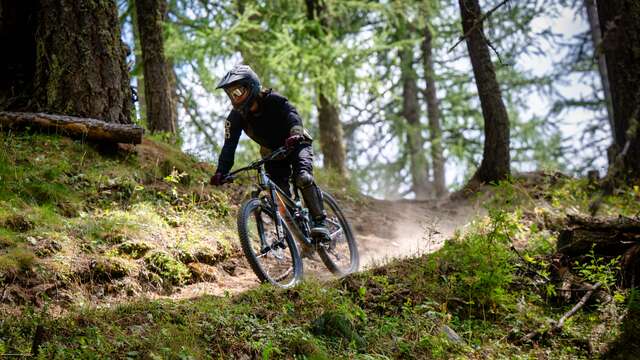
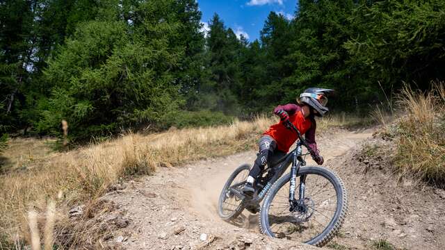
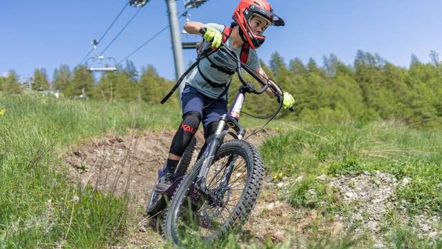
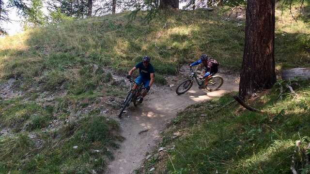
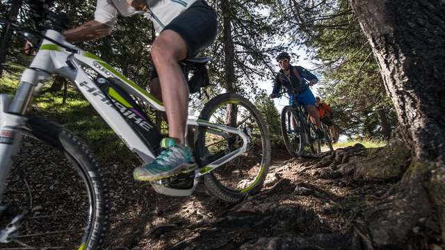
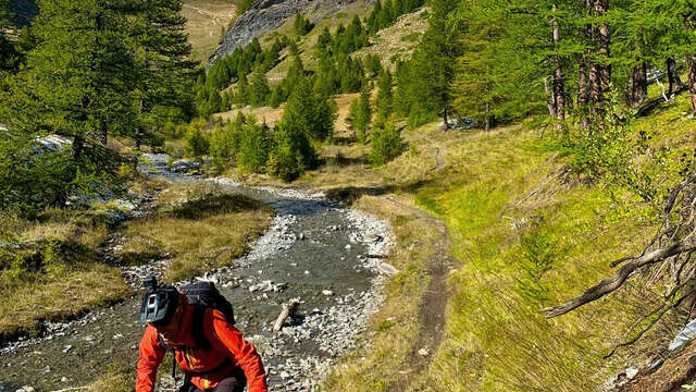
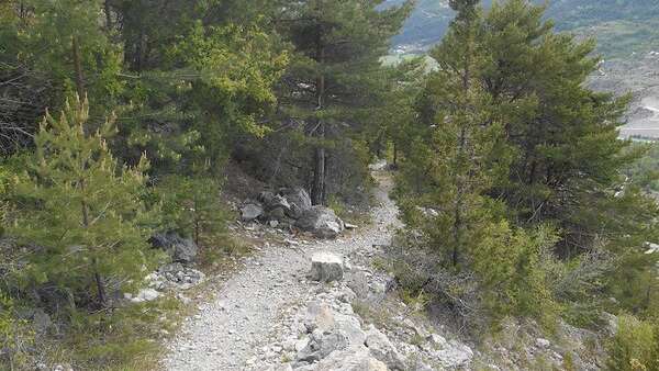
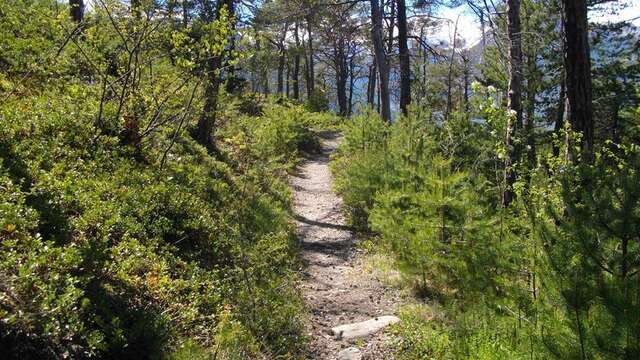
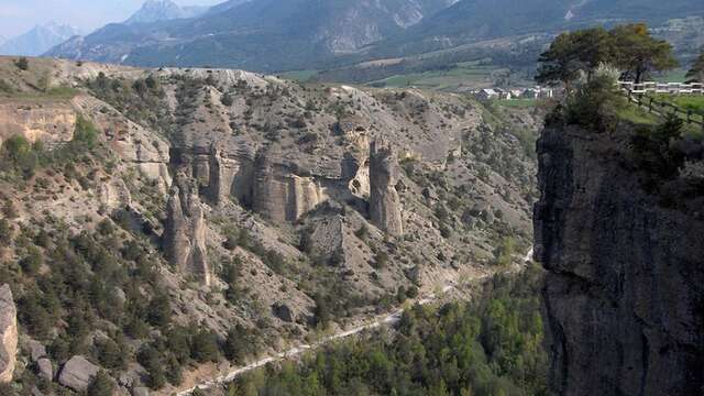
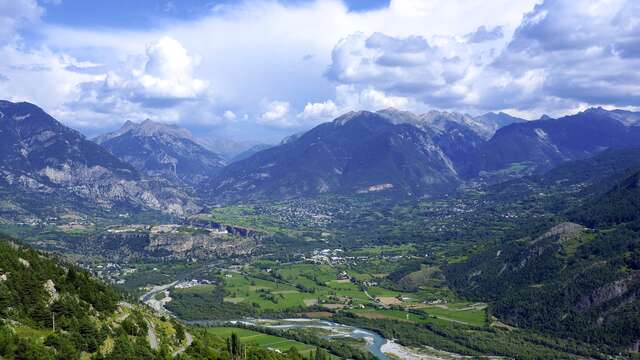
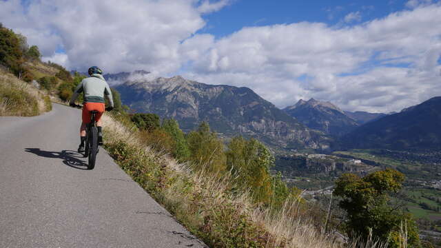
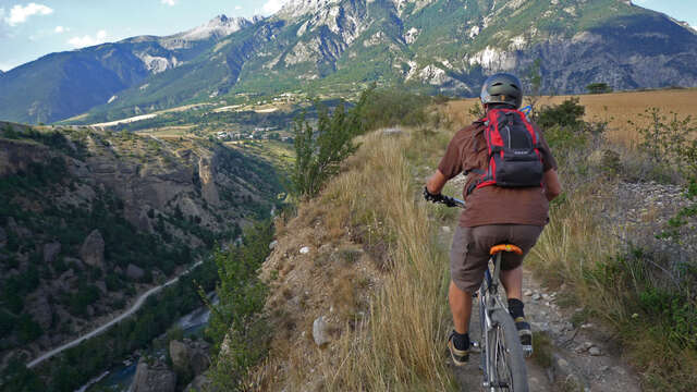
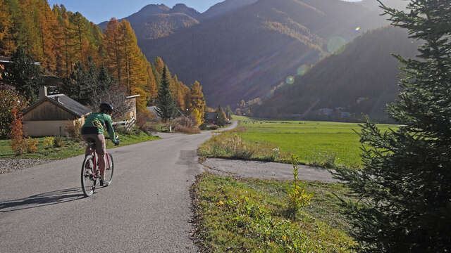
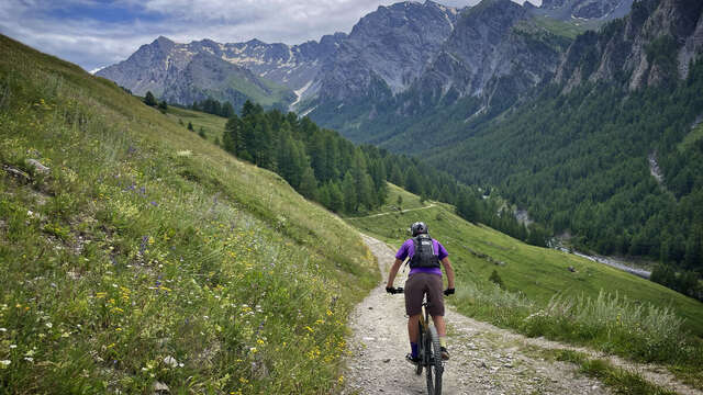
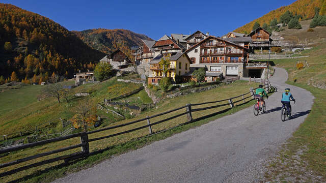
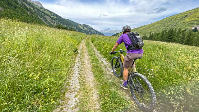
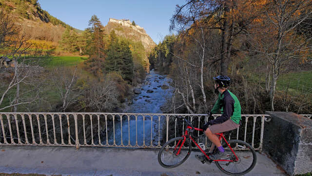
Long, hard and technical: the ultimate committed route!
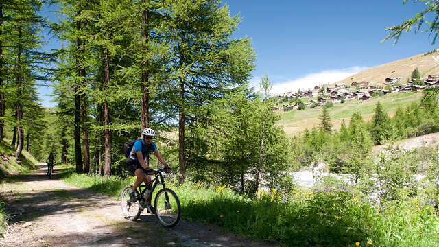
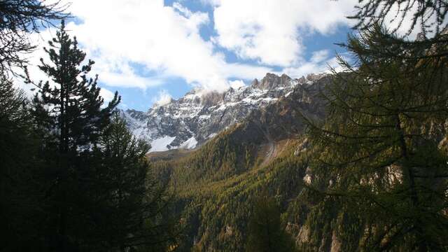
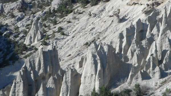
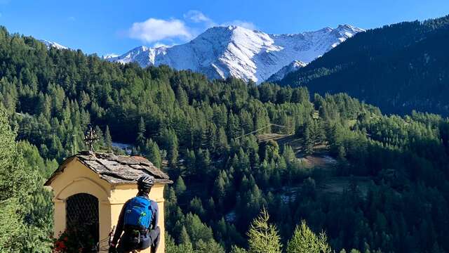
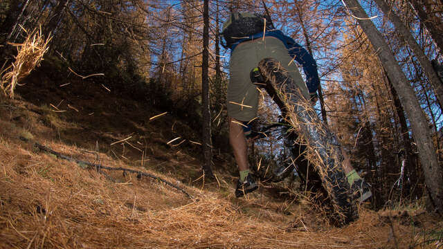
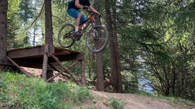
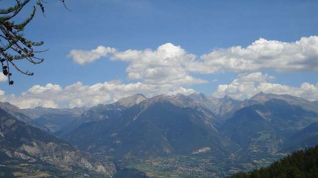
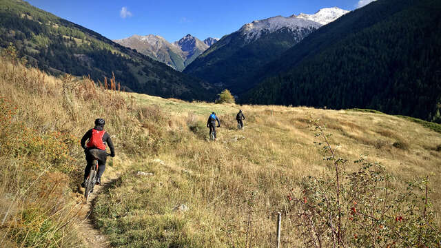
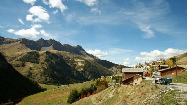
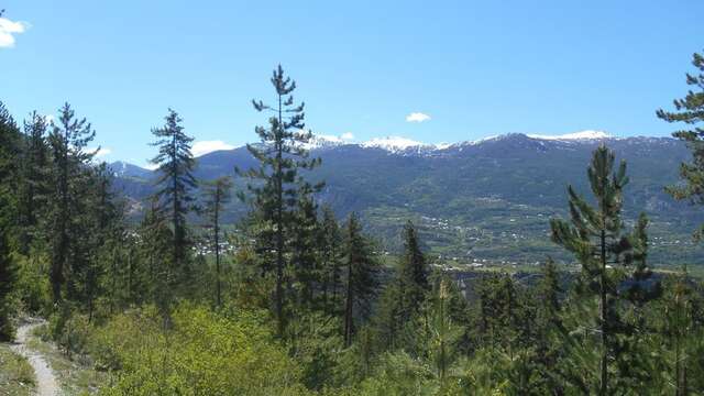
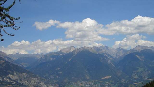
A climb that makes you wish you weren't there, more than made up for by a descent that begs to be done over and over again. A high level of physical fitness and technical mastery are essential for this colorful route, with a steep, technical single descent featuring hairpins, steps, stony sections and more rolling sections over several kilometers. A guaranteed thrill! And when it comes to scenery, your eyes will also be satisfied, with splendid views!
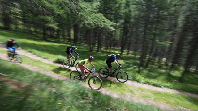
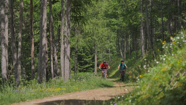
This itinerary is a mix of different users: hikers/trekkers/trailers. For more information on the presence of herds, click on the link to the Parc Naturel Régional du Queyras website below.
For the detailed itinerary, download it (pdf) in the documentation tab below.
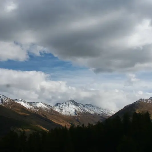
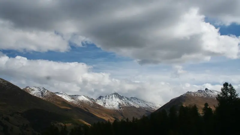
The itinerary is freely accessible all year round. It is practicable depending on weather and snow conditions. Equipment must therefore be appropriate.