
12 - Plateau de la Chalp en VTT
Sport, Cycling sports, Mountain biking itinerary
in Guillestre
4.8
km
1h
Easy
-
A gentle, panoramic loop starting from Guillestre.
-
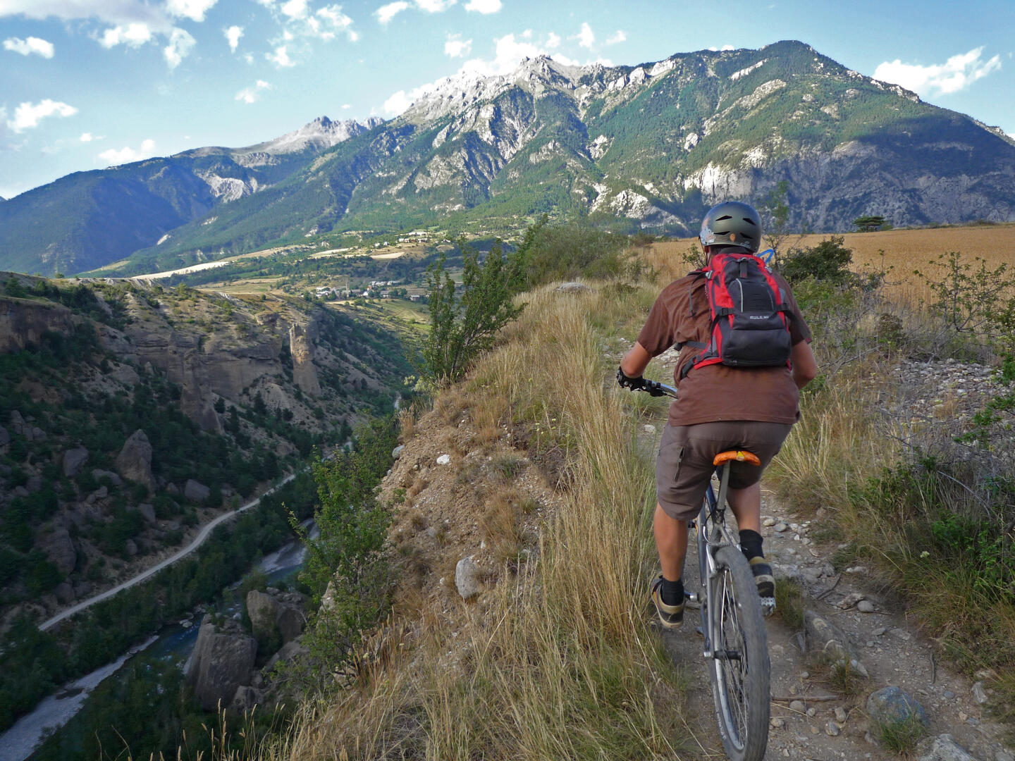
Between orchards, mountain pastures and cliffs, you'll ride to the rhythm of the murmur of ancient canals. With a view of Mont-Dauphin, a pastoral atmosphere and a gourmet break on arrival, this is the perfect itinerary for nature and heritage lovers, or for a gentle yet enjoyable outing.
The route runs along a cliff, requiring careful attention.
- Departure
- Guillestre
-
-
Difference in height
- 96.3333 m
-
-
-
Plain text period
- From 01/06 to 01/11 daily.
-
-
-
Spoken languages
-
-
-
-
-
Documentation
- GPX / KML files allow you to export the trail of your hike to your GPS (or other navigation tool)
-
- 96 meters of difference in height
-
- Maximum altitude : 1060 m
- Minimum altitude : 981 m
- Total positive elevation : 96 m
- Total negative elevation : -96 m
- Max positive elevation : 41 m
- Min positive elevation : -63 m


