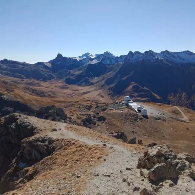
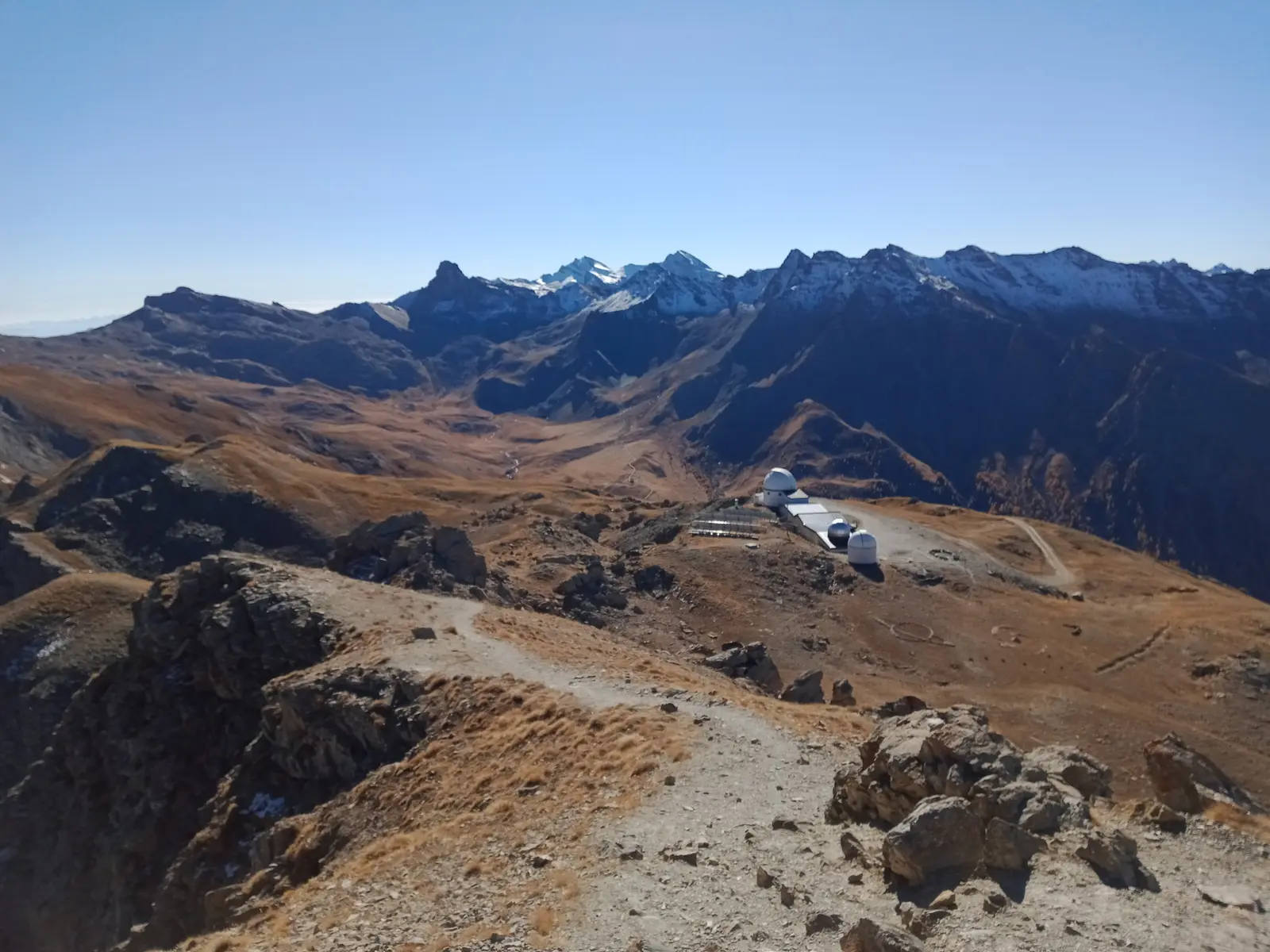
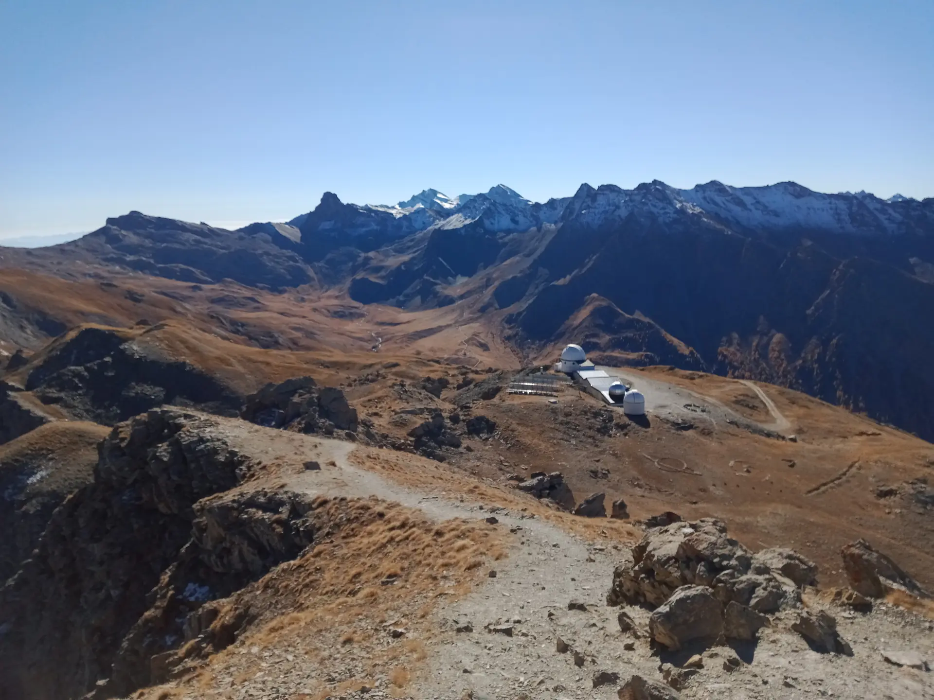
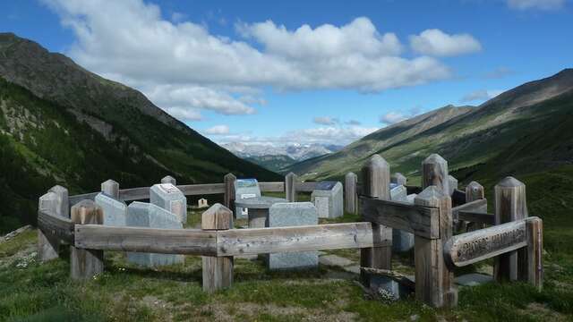
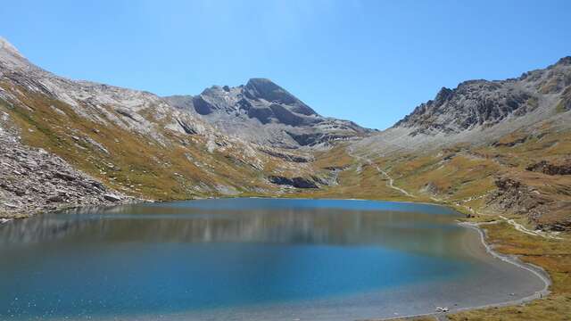
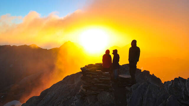
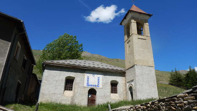
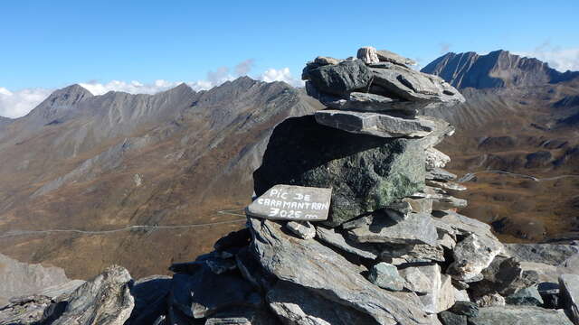
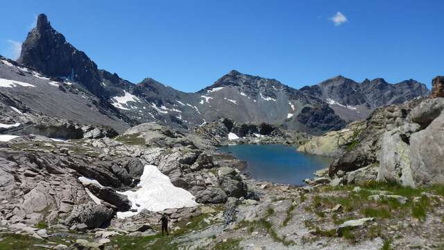
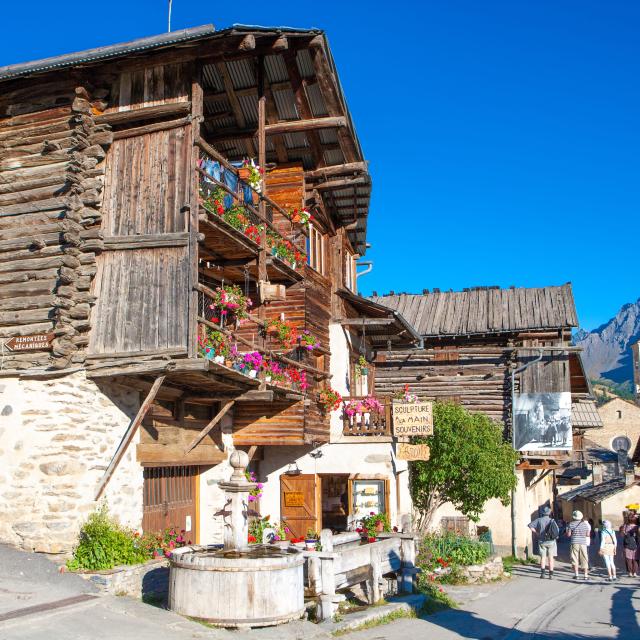
The trail begins amidst the marmots and winds its way gently through the forest and gradually up the valley. All the senses are mobilized for the spectacle of nature! Perhaps some of the local artists will feature on the hike's list of honours: mountain hare, stoat, ptarmigan, chamois, rhododendron or martagon lily... The arrival at the Col de Longet is already a great victory, with the Tête des Toilies as guest star. The ascent continues on the southern slope, where the vegetation changes the scenery. Another 300 metres on a track and finally the arrival at the Pic de Châteaurenard-Paul Felenbok observatory. Here, experienced astronomers and curious amateurs alike spend a magical night gazing at the celestial vault through a giant telescope. Last climb for the final scene: the Pic de Château-Renard, with its Caesar-worthy view!
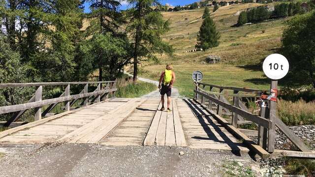
Please note: in winter, from Pont de Chanterane to Pont de Peyre Bartino, the route is a cross-country ski trail! It is therefore exclusively reserved for cross-country skiing.
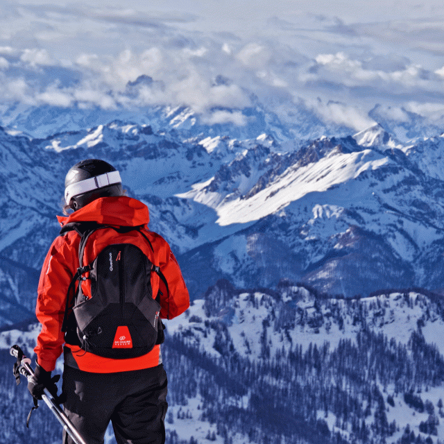
In spring and autumn, conditions are changeable, and even without snow, the trail can be icy. So, in the mountains, the reflex to adopt is "go out well-equipped". In my bag, I slip or hang crampons and poles.
In winter, the right reflexes are: snowshoes, poles, gloves, hat, sun cream and... a survival blanket! Experience is essential, and knowing when to give up is sometimes preferable to taking risks. And if you're new to the mountains, we advise you to seek professional advice! Before going out, I check the Météo France Montagnes and BERA bulletins (risks and avalanches).
In front of the parking lot, a small snack bar is open in summer.