
Mikéou
Sport, Pedestrian sports, Hiking itinerary
in Réotier
5.6
km
3h
Medium
-
Swoop over the Durance River with minimal effort!
-
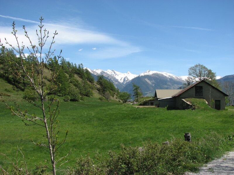
Mikéou is like an outpost on the beauties of the Durance. The path leads through a larch wood interspersed with a few meadows. This pastoral setting is ideal for a family hike, giving your calves a rest!
The fortified village of Mont-Dauphin sits enthroned at the bottom of the valley and can be seen like nowhere else from Mikéou: the streets, the buildings, the symmetry, nothing will escape you. The loop takes you peacefully back to the parking lot with the feeling that you've spied the...Mikéou is like an outpost on the beauties of the Durance. The path leads through a larch wood interspersed with a few meadows. This pastoral setting is ideal for a family hike, giving your calves a rest!
The fortified village of Mont-Dauphin sits enthroned at the bottom of the valley and can be seen like nowhere else from Mikéou: the streets, the buildings, the symmetry, nothing will escape you. The loop takes you peacefully back to the parking lot with the feeling that you've spied the valley's secrets.
In winter, from Pont de Chanterane to Pont de Peyre Bartino, the route is a cross-country ski trail! It is therefore exclusively reserved for cross-country skiing.
In spring and autumn, conditions are changeable, and even without snow, the trail can be icy. So, in the mountains, the reflex to adopt is "go out well-equipped". In my bag, I slip or I hang: crampons and poles.
In winter, the right reflexes are: snowshoes, poles, gloves, hat, sun cream and... a survival blanket! Experience is essential, and knowing when to give up is sometimes preferable to taking risks. And if you're new to the mountains, we advise you to seek professional advice! Before going out, I check the Météo France Montagnes and BERA bulletins (risks and avalanches).
- Departure
- Réotier
-
-
Difference in height
- 289.667 m
-
-
-
Plain text period
-
All year round daily.
Subject to favorable snow and weather conditions.
-
-
-
Spoken languages
-
-
-
-
-
Documentation
- GPX / KML files allow you to export the trail of your hike to your GPS (or other navigation tool)
-
- 290 meters of difference in height
-
- Maximum altitude : 1604 m
- Minimum altitude : 1366 m
- Total positive elevation : 290 m
- Total negative elevation : -290 m
- Max positive elevation : 112 m
- Min positive elevation : -108 m
Services
-
-
Services
-

