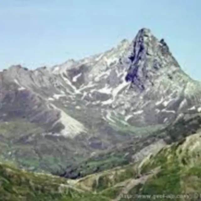
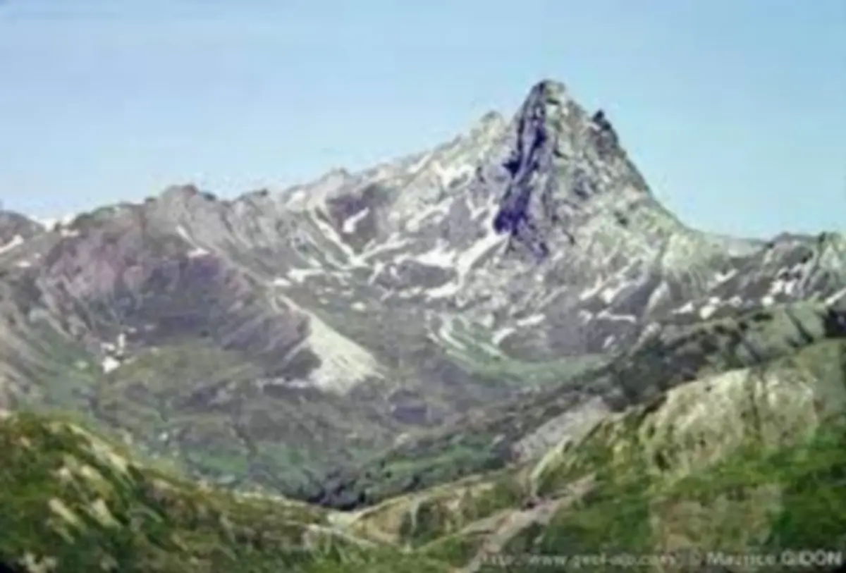
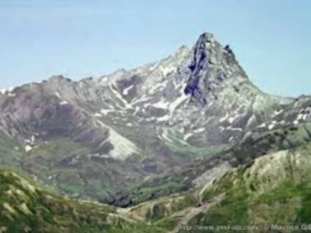
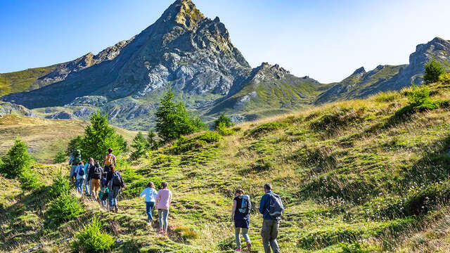
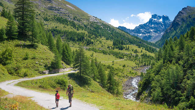
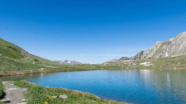
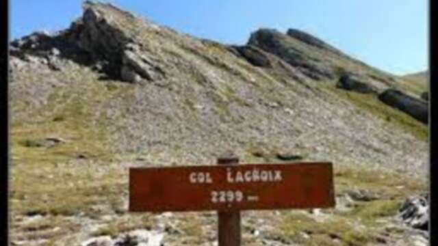
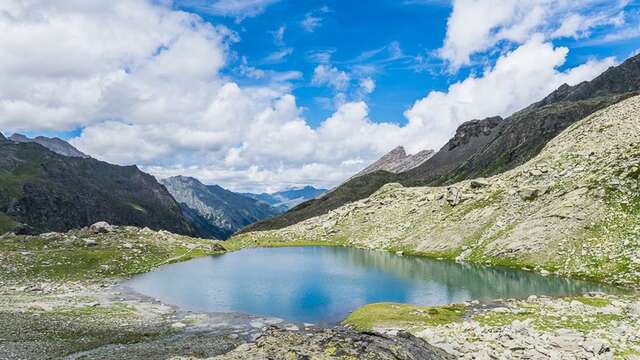
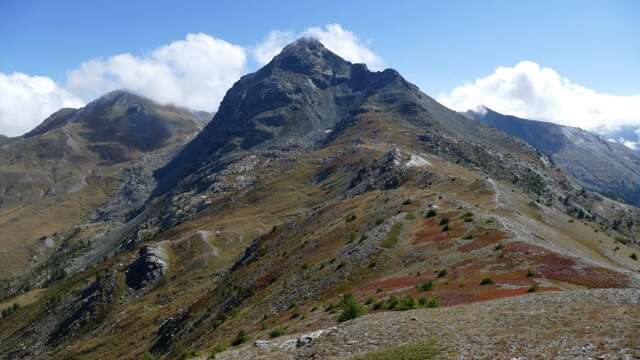
From the Valpréveyre parking lot, cross the torrent du Bouchet and take the path on its left bank. Continue through the undergrowth on the side of the torrent and cross it. Leaving the path, climb to the left and, if you look hard enough, you'll find the stone engraved with the lovers. Further up, at the junction with the Col Malaure path, turn left towards Col Bouchet. You've reached the border - the milestone is unmistakable! Ah Italy... and a few steps below, the Nino Soardi refuge, nestled in the shelter of the summit and run by volunteers from the Italian Alpine Club. Mont Viso looms in the background and the Valle Pellice opens its arms to you. Descend along the same path, or cross over to the other side of the Bric Bouchet and head for the Col de Valpréveyre, a little further down on the right. Descend to the right at the fork. If you're lucky, you'll come across the masters of the place, our friends the ibex!
Please note: in winter, from Pont de Chanterane to Pont de Peyre Bartino, the route is a cross-country ski trail! It is therefore exclusively reserved for cross-country skiing.
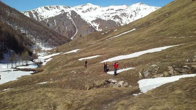
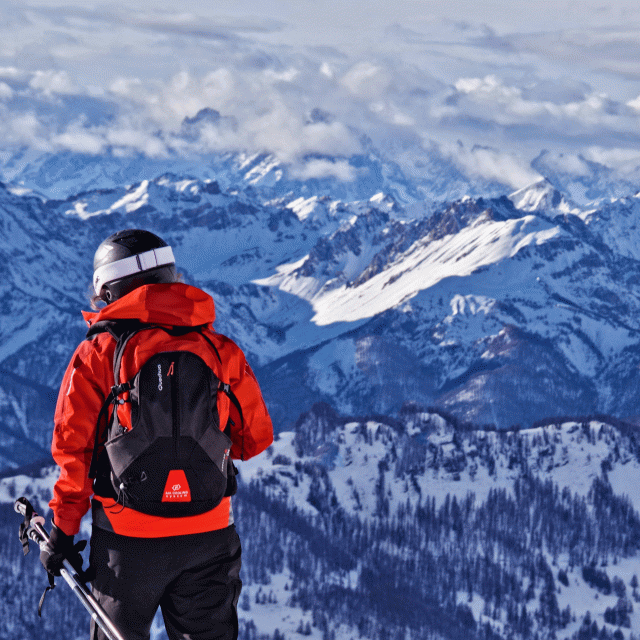
In spring and autumn, conditions are changeable, and even without snow, the trail can be icy. So, in the mountains, the reflex to adopt is "go out well-equipped". In my bag, I slip or I hang: crampons and poles.
In winter, the right reflexes are: snowshoes, poles, gloves, hat, sun cream and... a survival blanket! Experience is essential, and knowing when to give up is sometimes preferable to taking risks. And if you're new to the mountains, we advise you to seek professional advice! Before going out, I check the Météo France Montagnes and BERA bulletins (risks and avalanches).