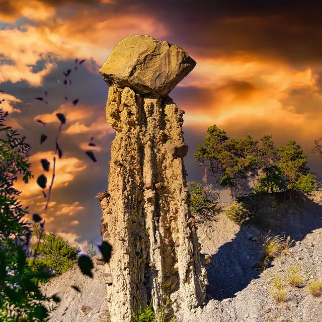
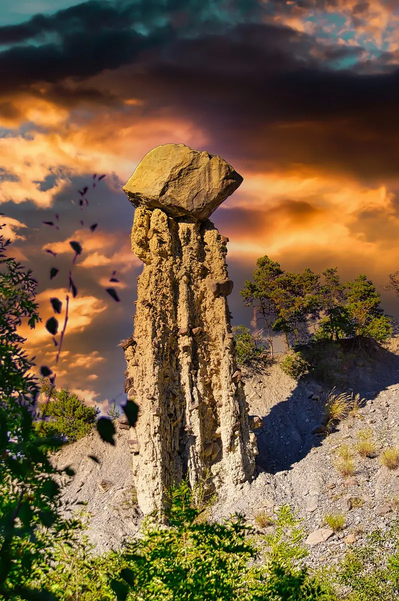
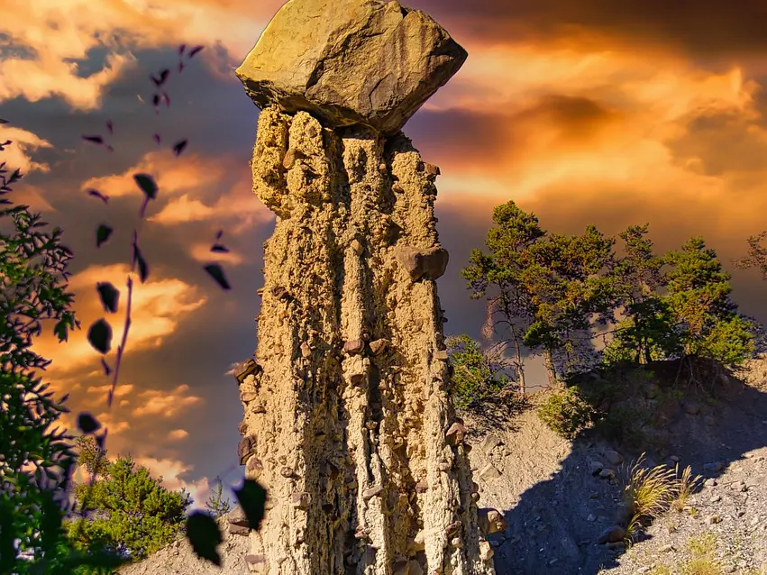
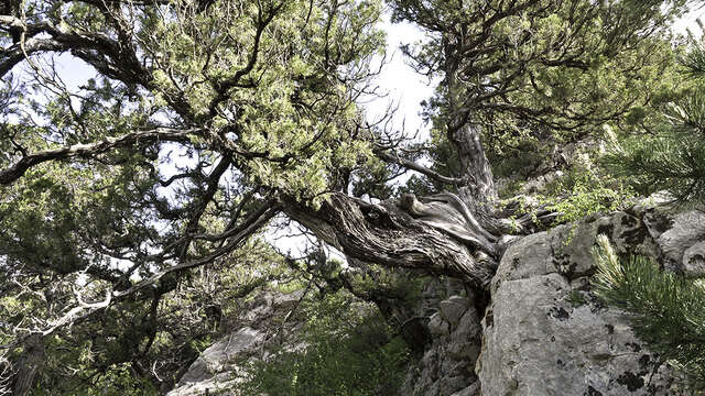
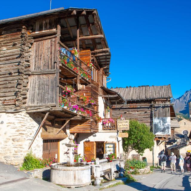
The fairy chimneys of Saint Crépin are accessible to the whole family. Take a stroll through the forest just above the village and you'll have an unrivalled view of the astonishing chimneys!
From the hamlet of Villaron Haut, leave the car and take the dirt track leaving the hamlet. After a hairpin bend, take the path up into the forest coomb. A first lookout will reveal the chimneys, then another for the brave overlooking them.
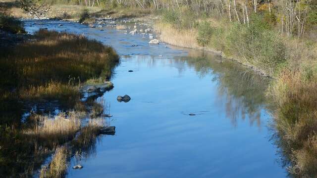
In winter, from Pont de Chanterane to Pont de Peyre Bartino, the route is a cross-country ski trail! It is therefore exclusively reserved for cross-country skiing.
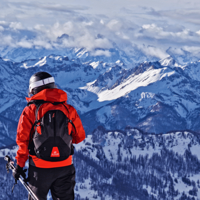
In spring and autumn, conditions are changeable, and even without snow, the trail can be icy. So, in the mountains, the reflex to adopt is "go out well-equipped". In my bag, I slip or I hang: crampons and poles.
In winter, the right reflexes are: snowshoes, poles, gloves, hat, sun cream and... a survival blanket! Experience is essential, and knowing when to give up is sometimes preferable to taking risks. And if you're new to the mountains, we advise you to seek professional advice! Before going out, I check the Météo France Montagnes and BERA bulletins (risks and avalanches).