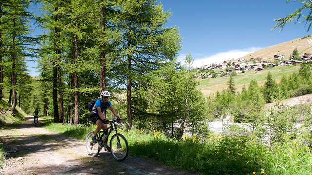
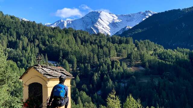
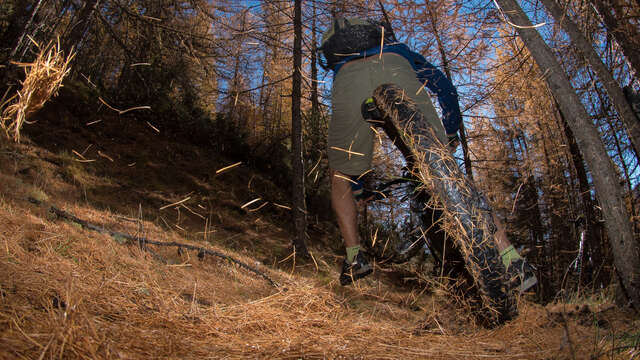
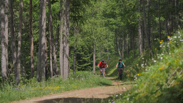
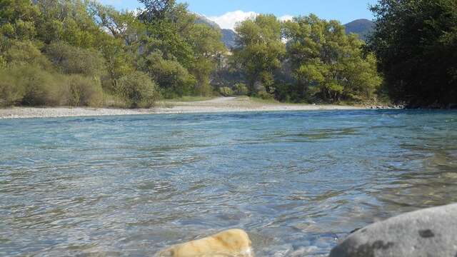
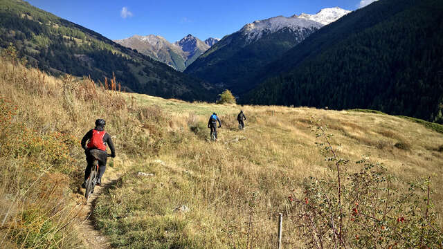
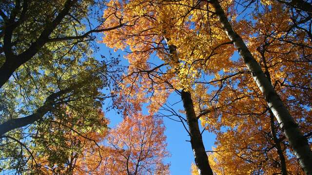
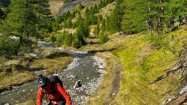
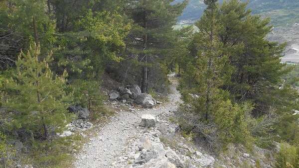
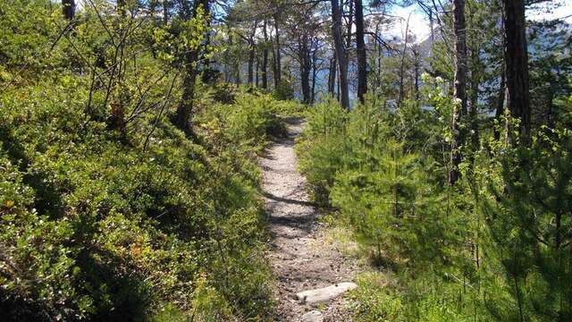
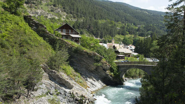
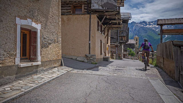
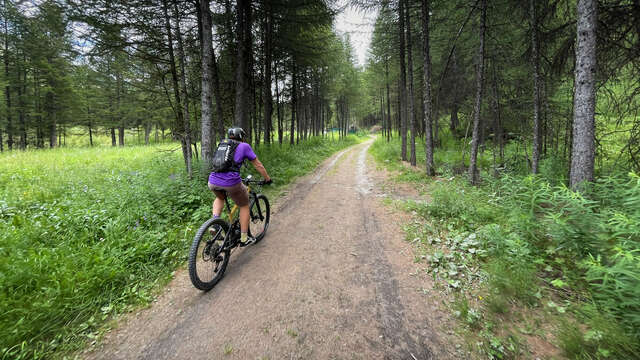
Beautiful walk through forests, villages and along the river.
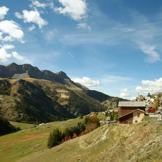
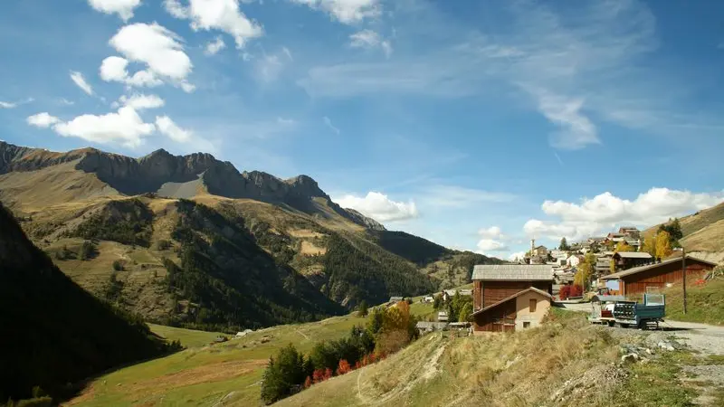
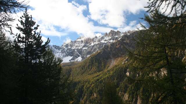
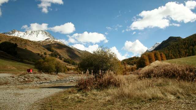
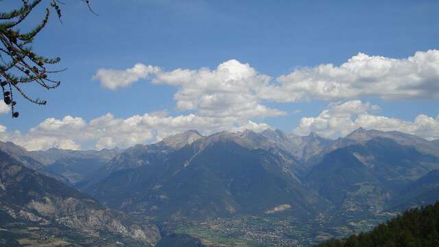
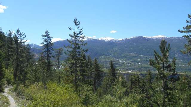
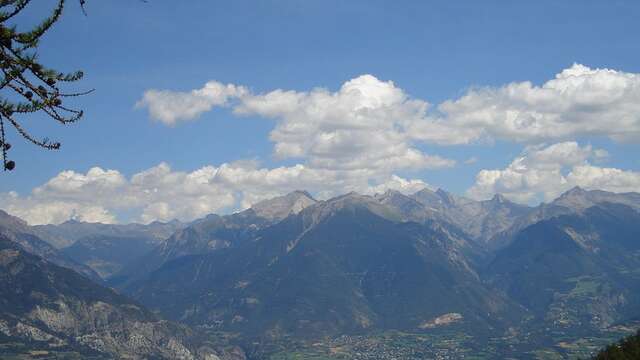
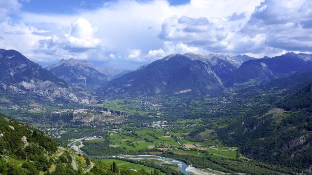
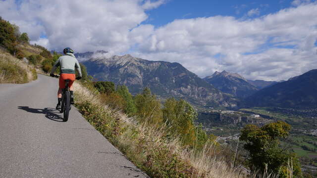
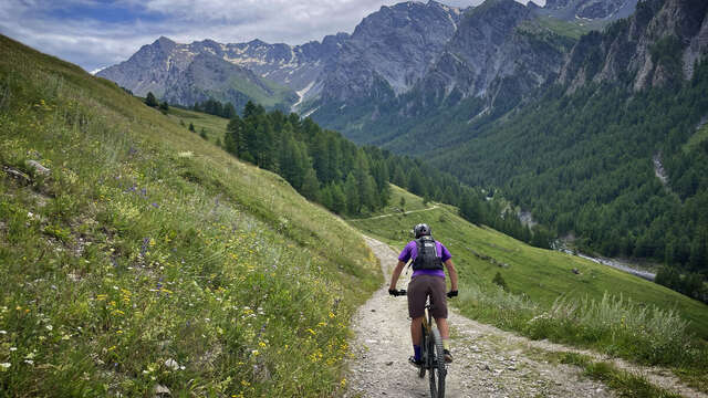
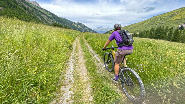
A pleasant itinerary with beautiful views of the Aigue Agnelle and Aigue Blanche valleys and their peaks. The outing can be combined with a visit to the villages of Saint Véran and Molines-en-Queyras.
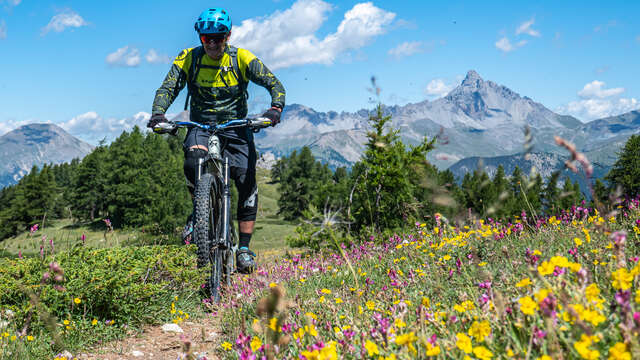
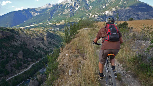
This itinerary is used by hikers, herders and trailers. For more information on the presence of herds, click on the link to the Parc Naturel Régional du Queyras website in the documentation tab below.
For the detailed route, download it (pdf) in the documentation tab below.