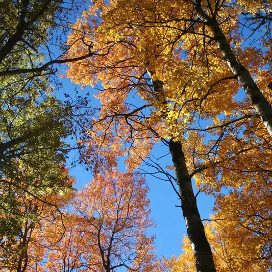
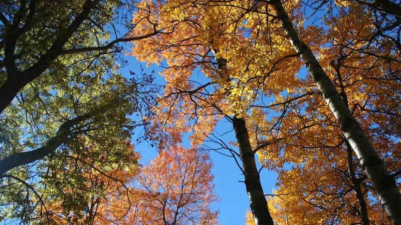
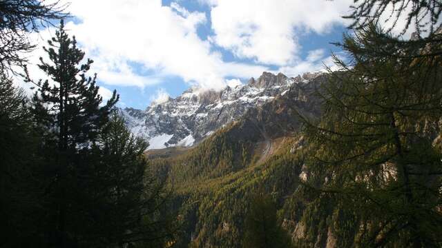
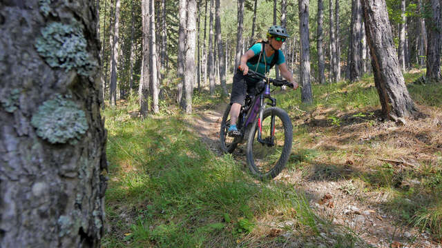
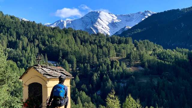
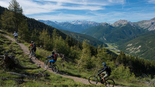
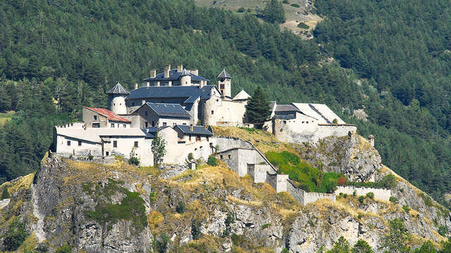
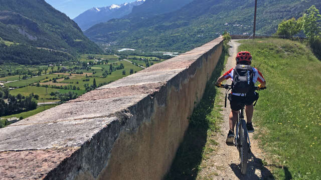
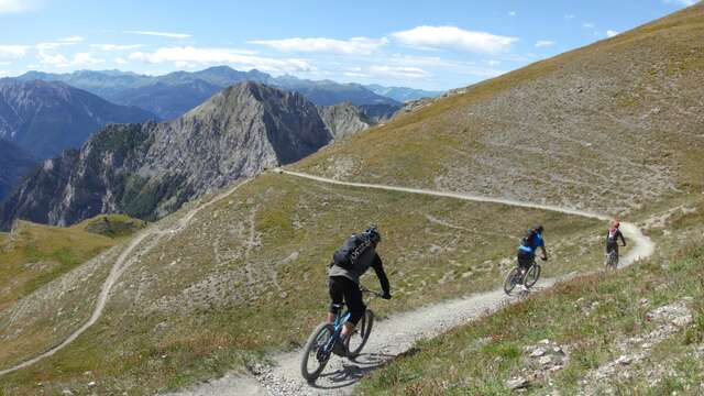
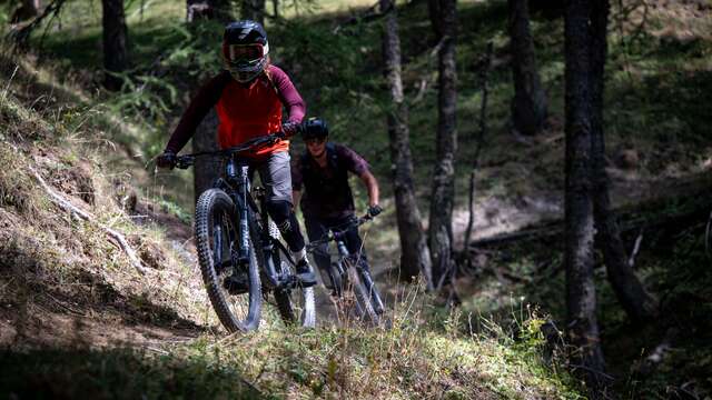
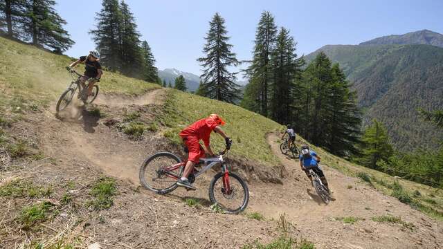
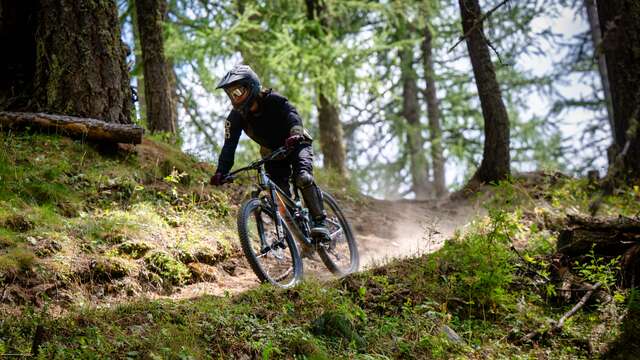
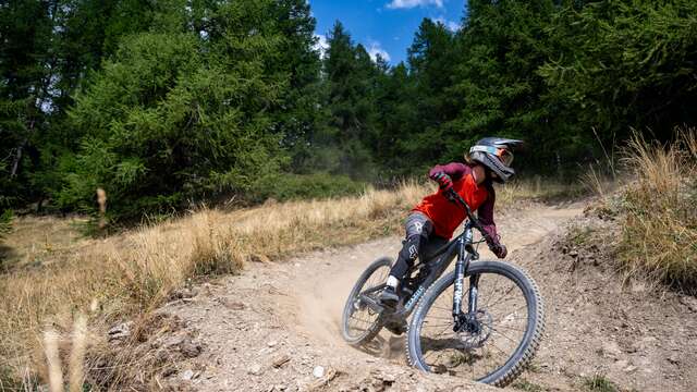
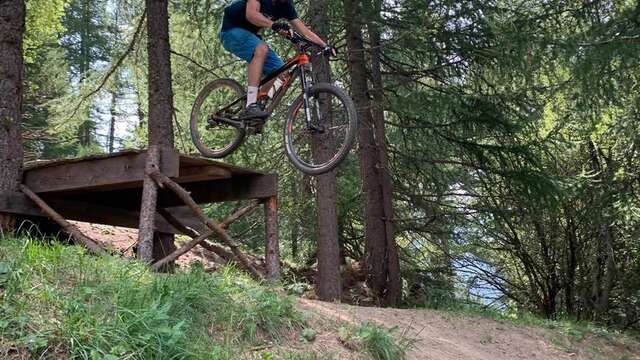
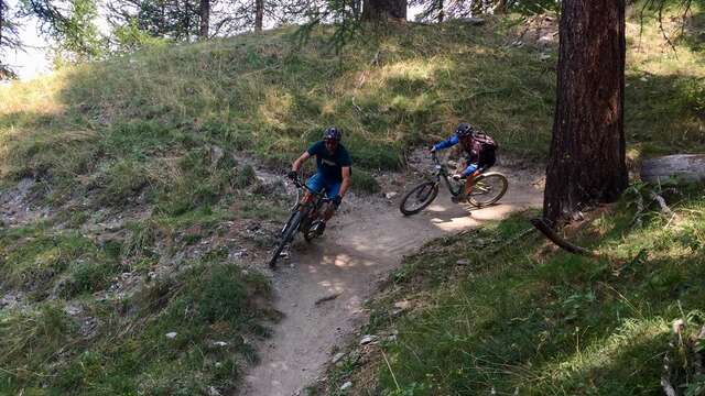
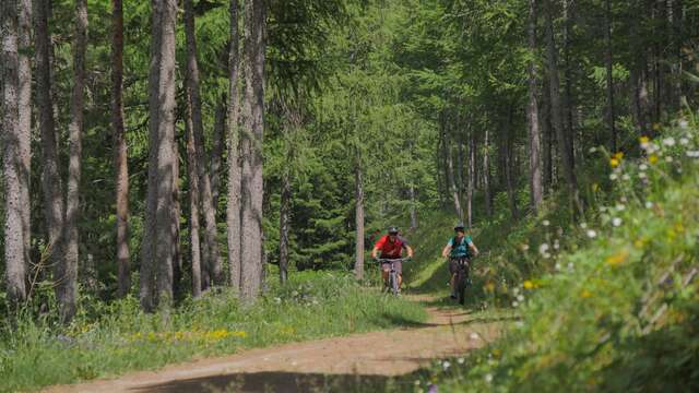
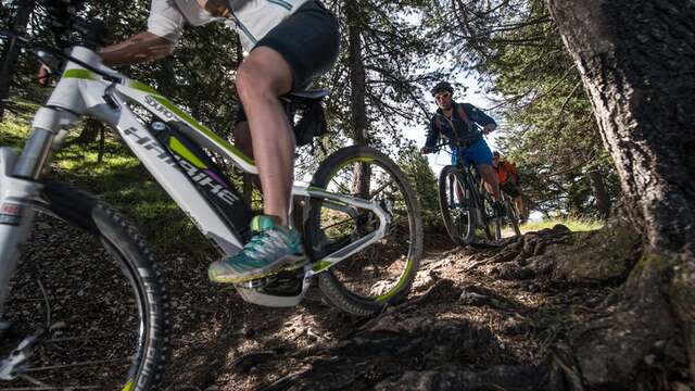
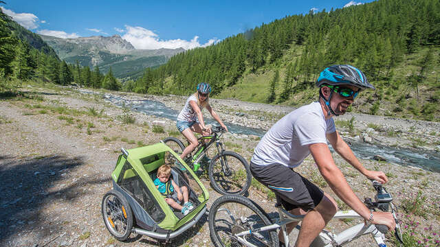
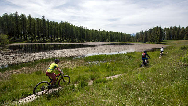
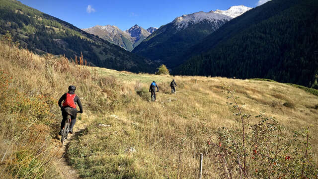
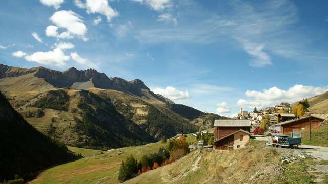
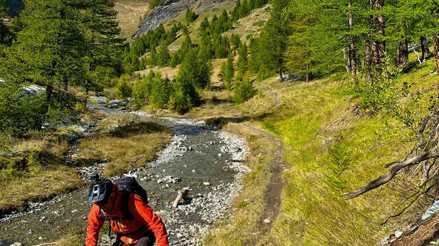
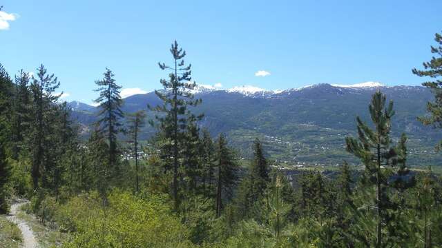
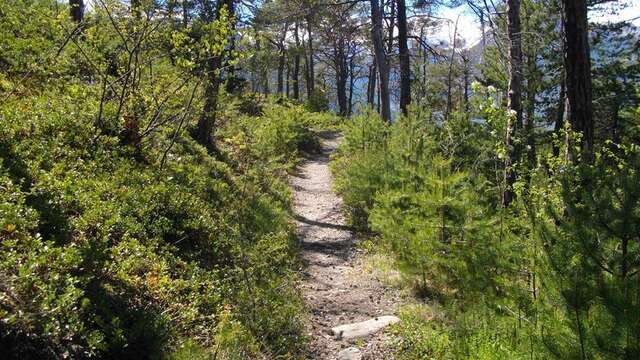
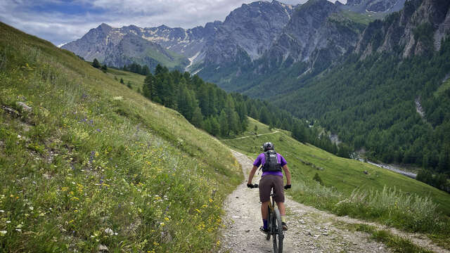
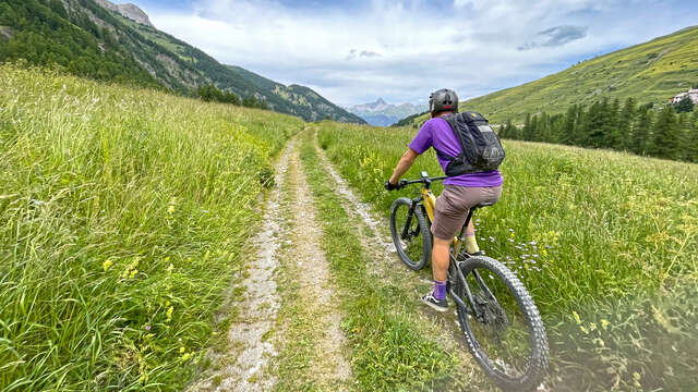
If you're looking to perfect your pincushion technique, this is the route for you. With its narrow bends in a forested environment, it's a technical and varied ride, taking you through the small villages of Prats-Bas and Prats-Hauts, and a farandole of churches, chapels and oratories.
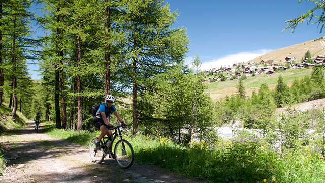
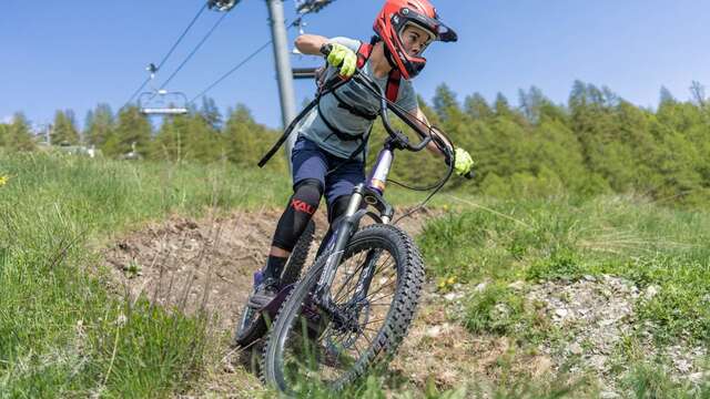
This itinerary is a mix of different users: hikers/trekkers/trailers. For more information on the presence of herds, click on the link to the Parc Naturel Régional du Queyras website in the documentation tab below.
For the detailed route, download it (pdf) in the documentation tab below.
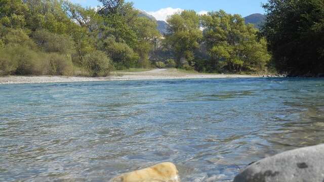
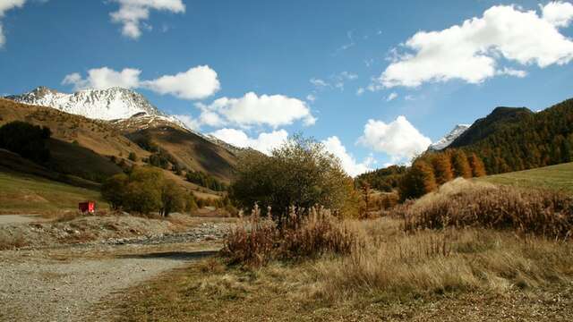
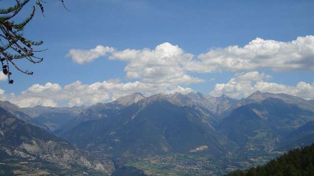
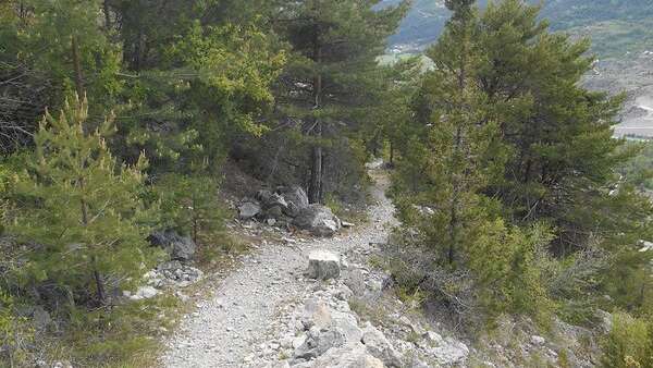
The itinerary is freely accessible all year round. It is practicable depending on weather and snow conditions. Equipment must therefore be appropriate.