
Le tour des hameaux de St Véran
Sport, Pedestrian sports, Hiking itinerary
in Saint-Véran
6.4
km
2h 30min
Medium
-
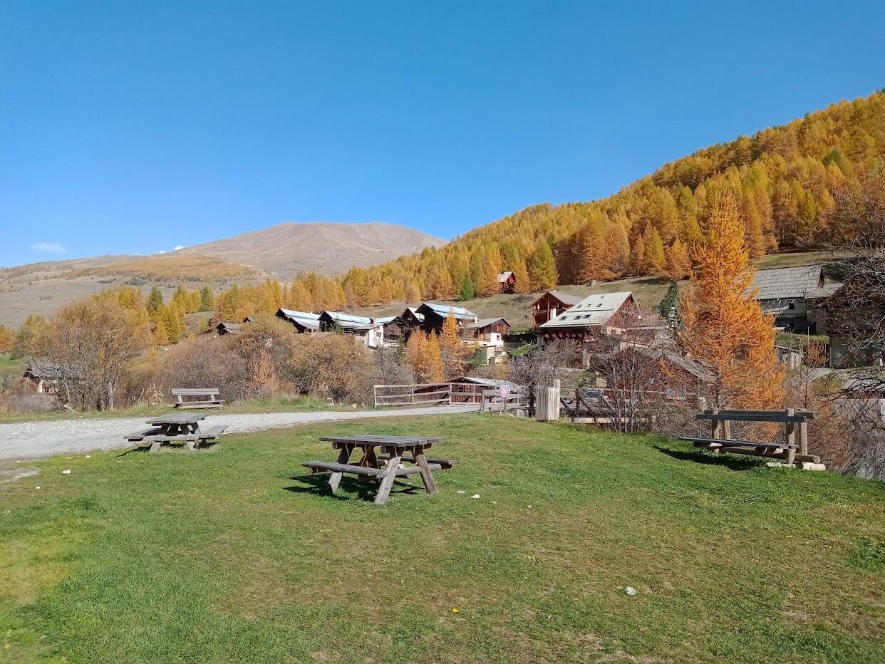
A loop to discover the neighborhoods and hamlets of St Véran.
-
Park in parking lot P3. West of the village, take the Bois des Amoureux road. After 5 minutes, at the oratory, leave this road and take the downhill path on the left (yellow markings). After 10 minutes, turn left to reach La Chalp (red and yellow markings). Cross the hamlet, then the main road. Cross the bridge and turn left up to the Pont du Moulin (yellow markings). Then take the GR58 towards St Véran (red and white markings). The path climbs up through Le Raux, a small cemetery and comes...
Park in parking lot P3. West of the village, take the Bois des Amoureux road. After 5 minutes, at the oratory, leave this road and take the downhill path on the left (yellow markings). After 10 minutes, turn left to reach La Chalp (red and yellow markings). Cross the hamlet, then the main road. Cross the bridge and turn left up to the Pont du Moulin (yellow markings). Then take the GR58 towards St Véran (red and white markings). The path climbs up through Le Raux, a small cemetery and comes out on the road at a Mission cross. After the reception point, take the street that climbs to the right to enjoy a tour of the village. When you reach the Costebelle inn, turn left and stay on this main road through the village, until you reach the camper van parking area (P3);
In winter, from Pont de Chanterane to Pont de Peyre Bartino, the route is a cross-country ski trail! It is therefore exclusively reserved for this use.
In spring and autumn, conditions are changeable, and even snow-free trails can be icy. So, in the mountains, the reflex to adopt is "go out well-equipped". In my bag, I slip or I hang: crampons and poles.
In winter, the right reflexes are: snowshoes, poles, gloves, hat, sun cream and... a survival blanket! Experience is essential, and knowing when to give up is sometimes preferable to taking risks. And if you're new to the mountains, we advise you to seek professional advice! Before going out, I check the Météo France Montagnes and BERA bulletins (risks and avalanches).
- Departure
- Saint-Véran
-
-
Difference in height
- 255.194 m
-
-
- Parking P3 at St Véran
-
-
Plain text period
-
All year round daily.
Subject to favorable snow and weather conditions.
-
-
-
Spoken languages
-
-
-
-
-
Documentation
- GPX / KML files allow you to export the trail of your hike to your GPS (or other navigation tool)
-
- 255 meters of difference in height
-
- Maximum altitude : 2014 m
- Minimum altitude : 1767 m
- Total positive elevation : 255 m
- Total negative elevation : -255 m
- Max positive elevation : 140 m
- Min positive elevation : -240 m
Services
-
-
Equipment
-
-
-
Services
-


