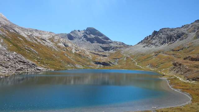
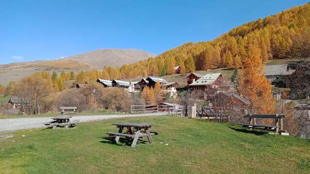
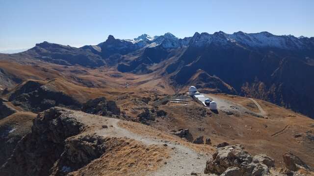
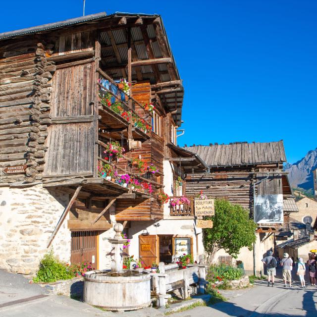
A loop to discover the hamlets of Pierre Grosse, le Coin and Fontgillarde on the road to Col Agnel. Part of the route runs along the Aigue Agnelle.
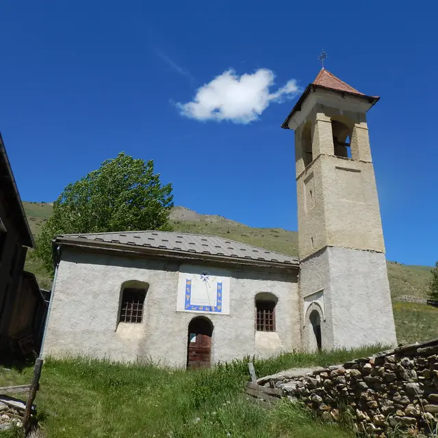
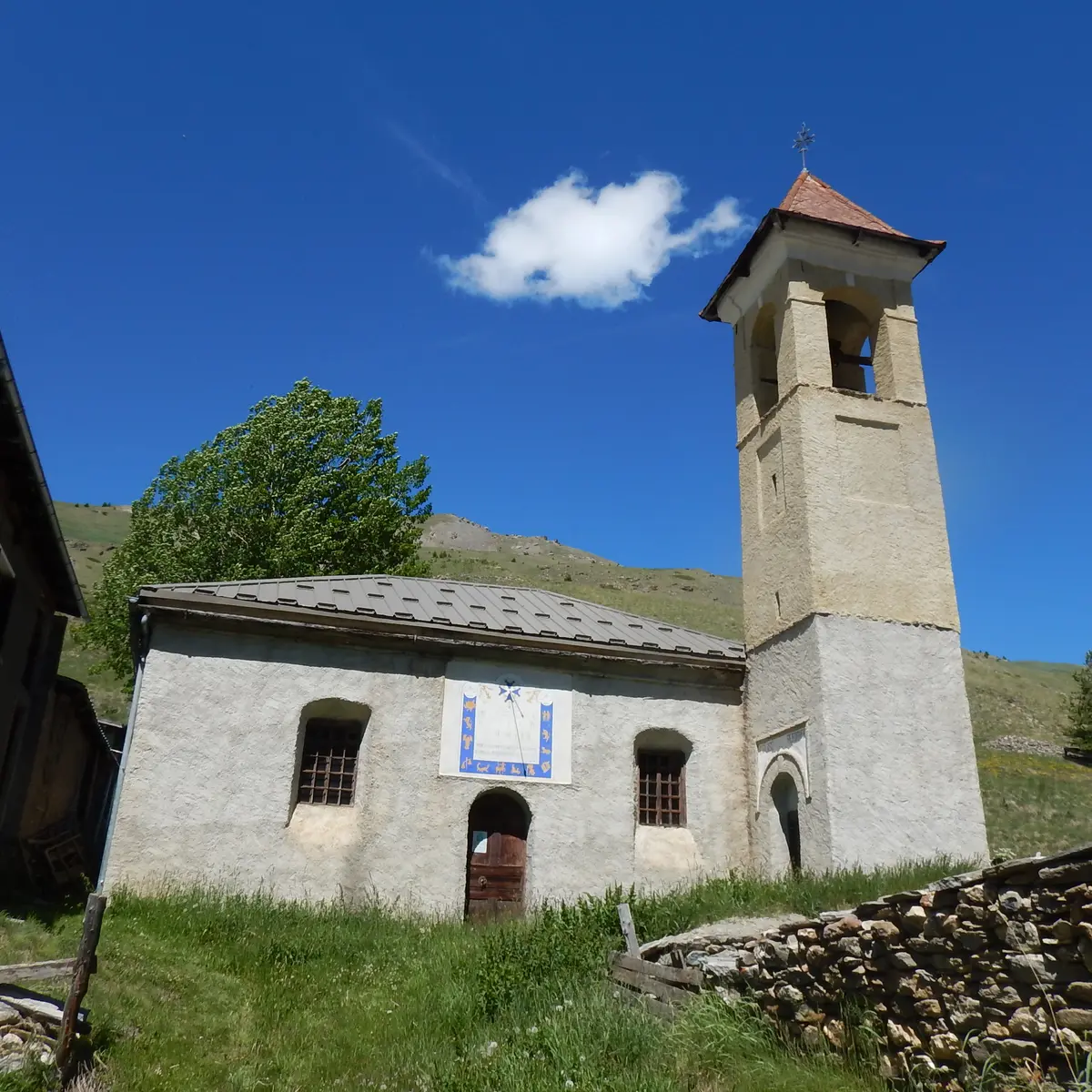
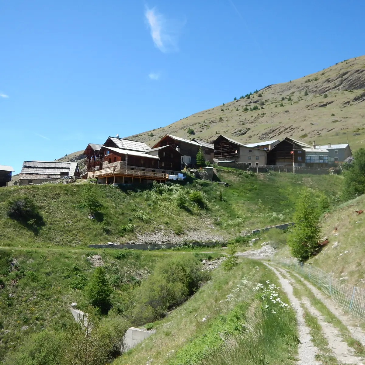
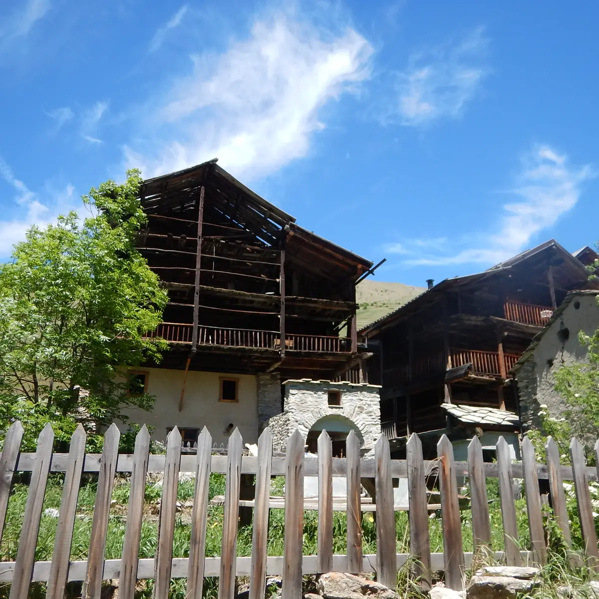
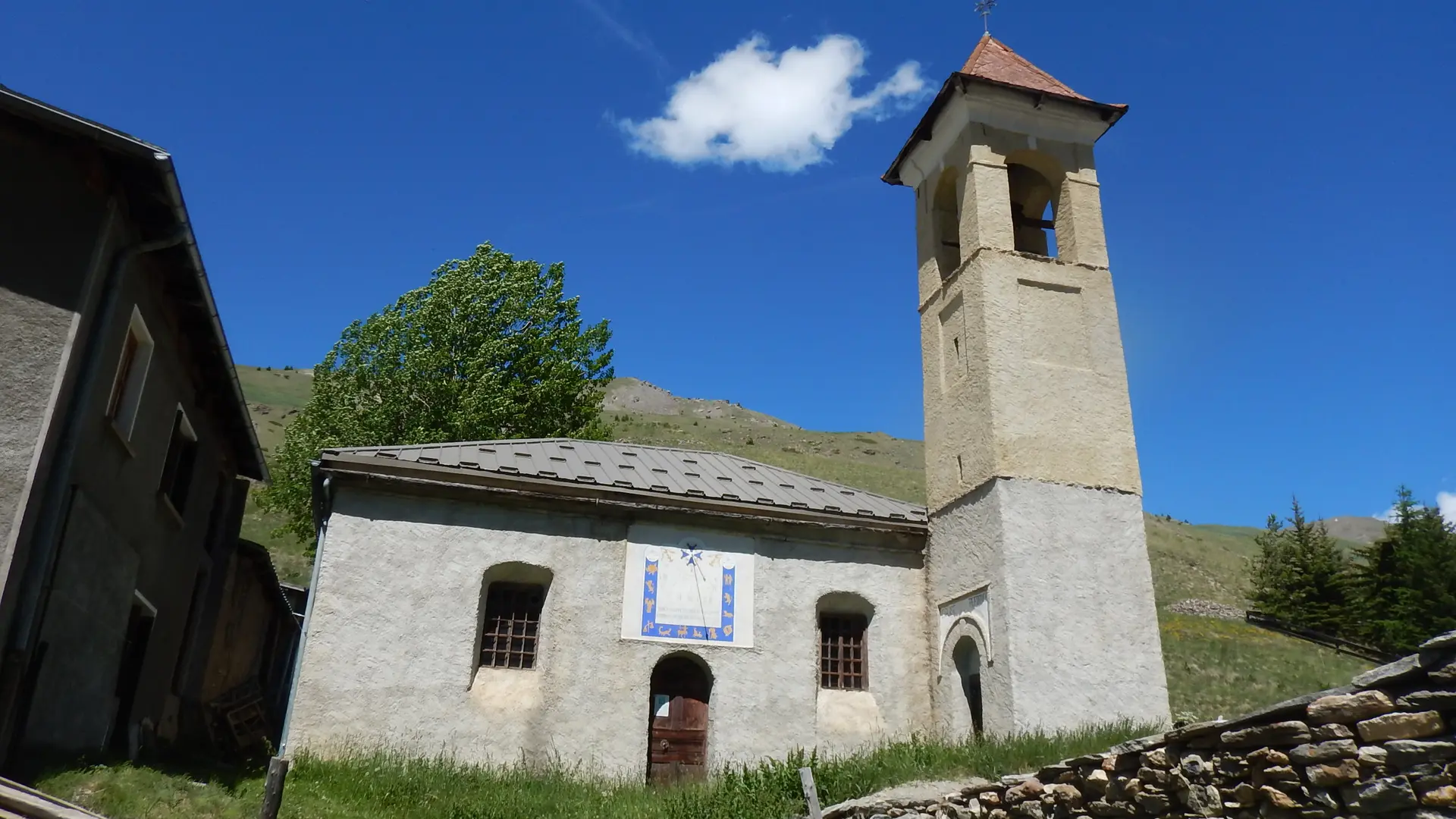
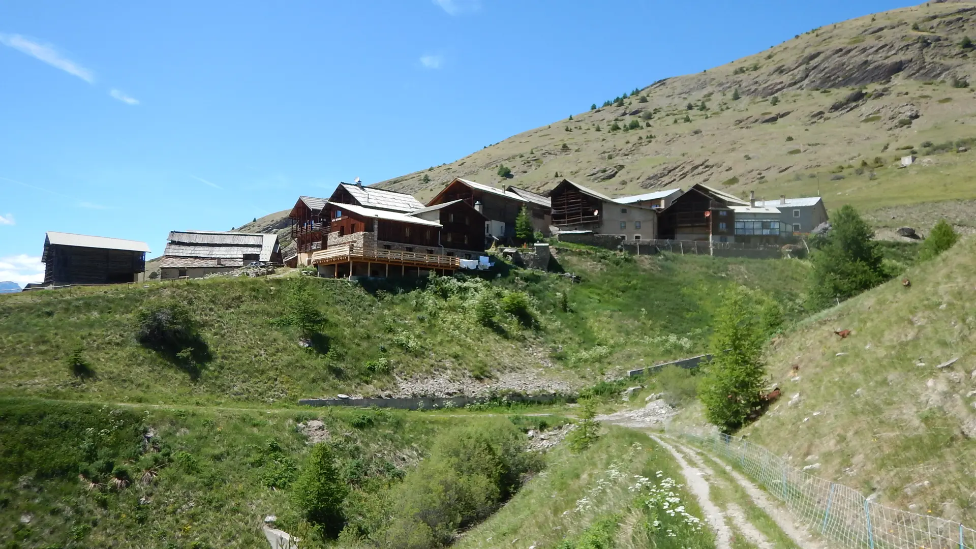
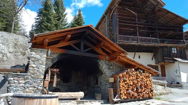
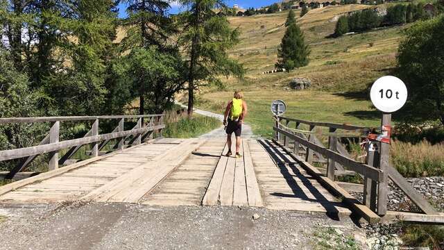
Park at Pont de Chanterane. Follow the Aigue Agnelle up to the Pont de Peyre Bartino opposite Fontgillarde. Cross the bridge and go up into the hamlet of Fontgillarde. On the main road, turn left as far as the fountain with the donkey. Take the small lane on the right to the temple. Return to the main road. Continue towards the church, then at the end of the hamlet pass the farm "les tarines de l'Agnel" and continue for about 150 m. At the cross, take the path indicated by the wooden sign "Le Coin". When you reach Le Coin, go back up the road to Le Coin. At the highest point, go back and forth along the cul-de-sac that climbs up to the old Coin (chapel, old houses, sundials, etc.). Continue down the route du Coin. Behind the Gentianes building, take the impasse des Marmottes, then the impasse du Tetras Lyre to the end. A small path descends to the right and rejoins the main road. Go forward 50 m and take rue du Grand Queyras to its turning point. From here, follow the yellow signposted path to Serre Nebrens. Then head for Pierre Grosse. At Pierre grosse, go up rue de Chanarette, then take rue du Pouite which descends towards the chapel of St Sébastien and ends up on the road to Col Agnel. Walk up the street past the restaurant. At the end of the hamlet, take the road on the right down to the Chanterane bridge.
Please note: in winter, the route from Pont de Chanterane to Pont de Peyre Bartino is a cross-country ski trail! It is therefore reserved exclusively for cross-country skiing.
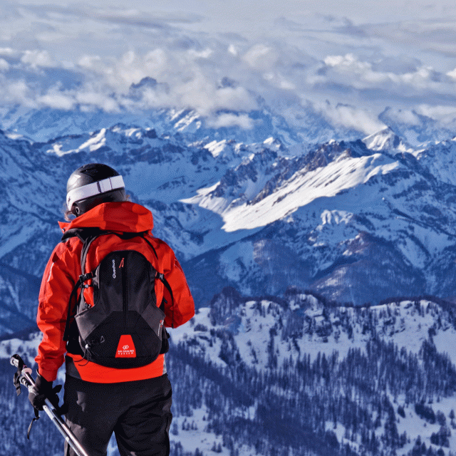
In spring and autumn, conditions are changeable, and even without snow, the trail can be icy. So, in the mountains, the reflex to adopt is "go out well-equipped". In my bag, I slip or I hang: crampons and poles.
In winter, the right reflexes are: snowshoes, poles, gloves, hat, sun cream and... a survival blanket! Experience is essential, and knowing when to give up is sometimes preferable to taking risks. And if you're new to the mountains, we advise you to seek professional advice! Before going out, I check the Météo France Montagnes and BERA bulletins (risks and avalanches).