
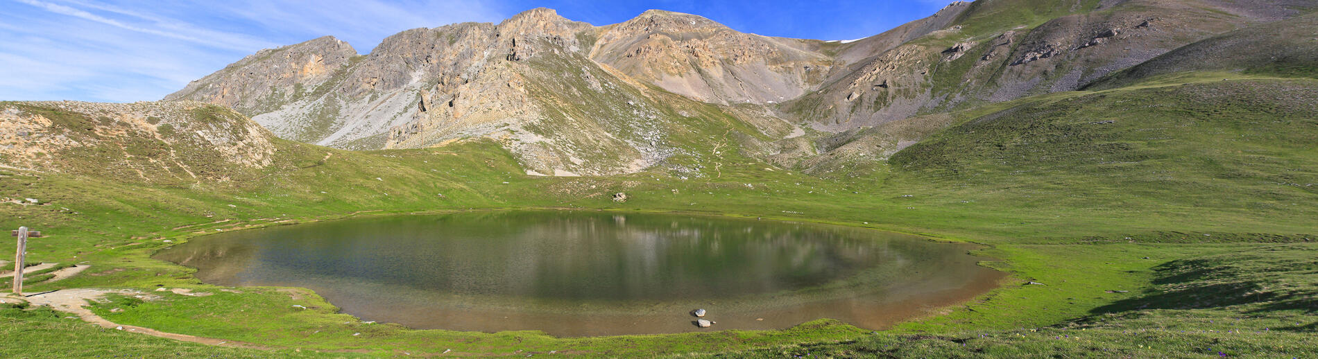
Le Pic ouest de Côte Belle, depuis le lac Souliers
Sport, Pedestrian sports, Hiking itinerary
in Arvieux
2.3
km
1h 30min
Hard
-
The Pic de Côte Belle, a summit accessible to good hikers and a breathtaking panorama!
-
From Lac Souliers, take the unmarked (but clearly visible) path to the Côte Belle ridges.
After skirting the ridges on the left (with no particular difficulty), you'll come to the Pic surmounted by a lightning rod.
And then...a breathtaking view, just for you!
You'll be able to admire the Pic de Rochebrune, the famous Mont-Viso, the Arvieux valley or the Col Izoard, the Cervières valley with the Ecrins massif in the background and, if the weather is clear, Mont Blanc in the distance.
Lac...From Lac Souliers, take the unmarked (but clearly visible) path to the Côte Belle ridges.
After skirting the ridges on the left (with no particular difficulty), you'll come to the Pic surmounted by a lightning rod.
And then...a breathtaking view, just for you!
You'll be able to admire the Pic de Rochebrune, the famous Mont-Viso, the Arvieux valley or the Col Izoard, the Cervières valley with the Ecrins massif in the background and, if the weather is clear, Mont Blanc in the distance.
Lac de Souliers is easily accessible from Casse Déserte or Souliers, so go for it!
In spring and autumn, conditions are changeable, and even snow-free trails can be icy. So, in the mountains, the reflex to adopt is "go out well equipped". In my bag, I slip or I hang: crampons and poles.
In winter, the right reflexes are: snowshoes, poles, gloves, hat, sun cream and... a survival blanket! Experience is essential, and knowing when to give up is sometimes preferable to taking risks. And if you're new to the mountains, we advise you to seek professional advice! Before going out, I check the Météo France Montagnes and BERA bulletins (risks and avalanches).
- Departure
- Arvieux
-
-
Difference in height
- 320 m
-
-
-
Plain text period
-
All year round daily.
Subject to favorable snow and weather conditions.
-
-
-
Spoken languages
-
-
-
-
-
Documentation
-
- Le Pic ouest de Côte Belle, depuis le lac Souliers_Arvieux
- Le Pic ouest de Côte Belle, depuis le lac Souliers
-
- 320 meters of difference in height
-
- Maximum altitude : 2799 m
- Minimum altitude : 2460 m
- Total positive elevation : 320 m
- Total negative elevation : -320 m
- Max positive elevation : 320 m
- Min positive elevation : -320 m
Services
-
-
Services
-


