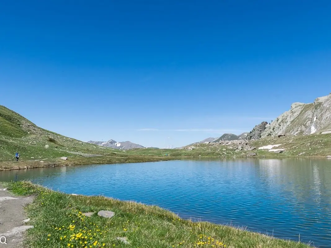
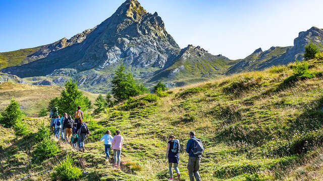
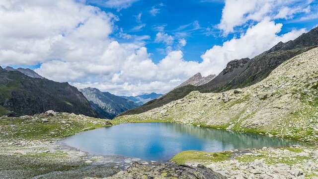
The call of the lakes! Once you've parked at the end of the Guil valley, at the hamlet of Echalp, you skip the torrent and turn right onto the mythical GR58. The smell of larch trees envelops you all the way to the Médille plateau. Binoculars in hand, ibex or chamois in your sights! They sometimes play on the walls above the mountain pasture. Keeping an eye out for stones carved by shepherds, the path leads us to the first lake, Egorgéou. It's just magnificent! And that's just the beginning! Take the yellow-marked path to the left, and you'll discover the small Baricle lake. Retrace your steps, take the GR and climb up to Lac Foréant. In its turquoise water, the sharp reflection of La Taillante! The descent follows the same path.
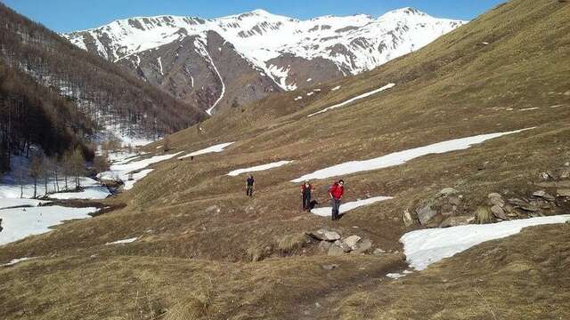
In spring and autumn, conditions are changeable, and even snow-free trails can be icy. As a result, the reflex in the mountains is to "go out well equipped". In my bag, I slip or hang crampons and poles.
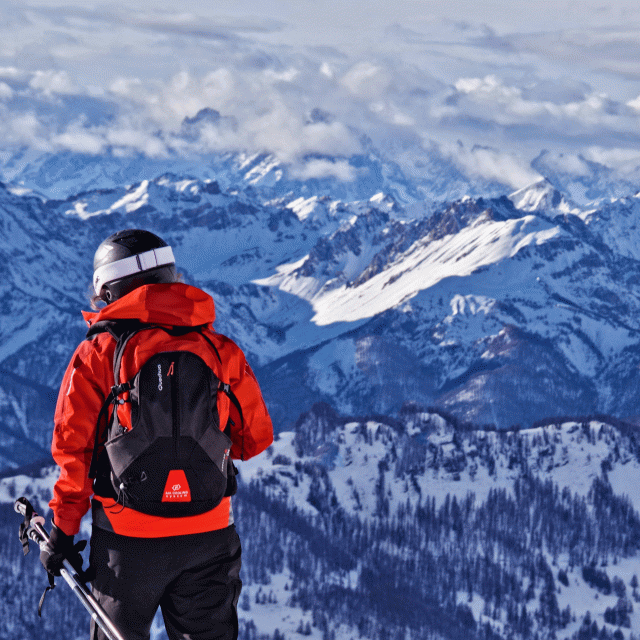
In winter, the right reflexes are: snowshoes, poles, gloves, hat, sun cream and... a survival blanket! Experience is essential, and knowing when to give up is sometimes preferable to taking risks. And if you're new to the mountains, don't hesitate to call in a professional! Before going out, I check the Météo France Montagnes and BERA bulletins (risks and avalanches).