
11 - La Clapière en VTT
Sport, Cycling sports, Mountain biking itinerary
in Saint-Clément-sur-Durance
4.7
km
1h 30min
Medium
-
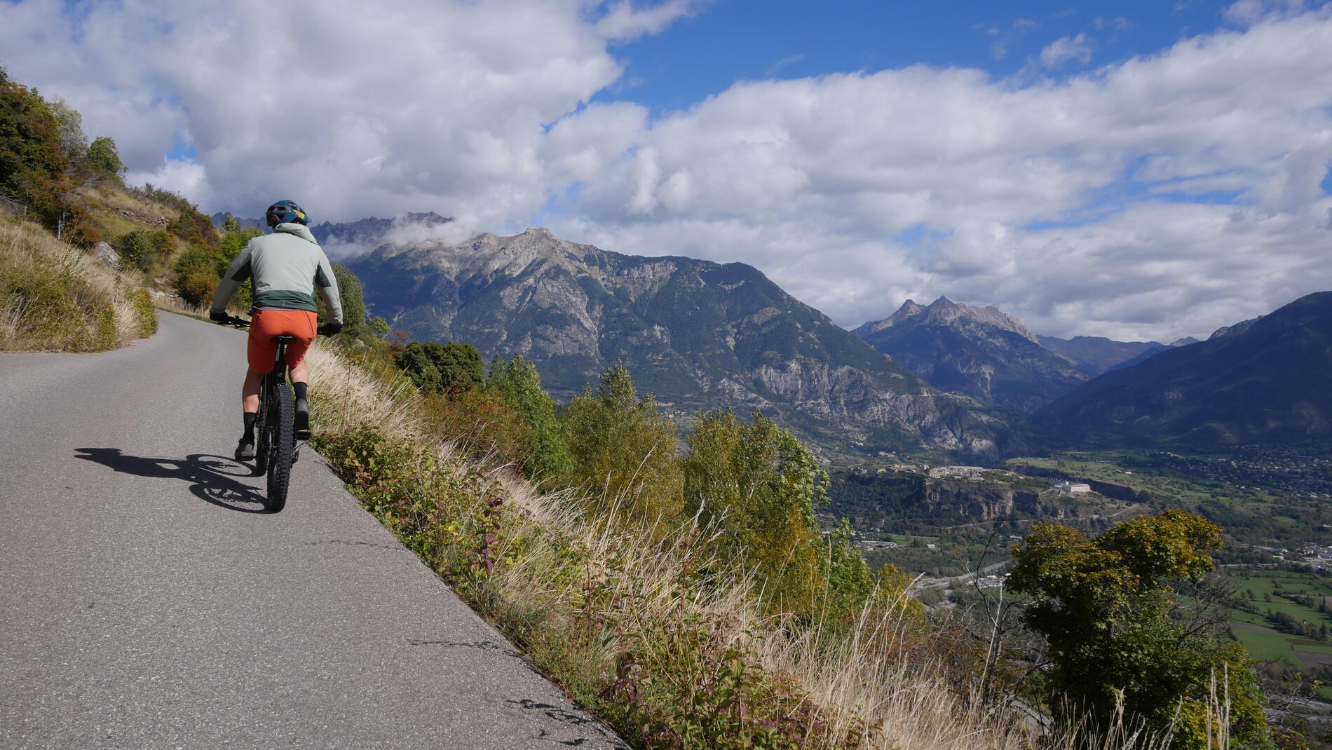
Nice little loop on the heights of Saint Clément sur Durance.
-
An accessible itinerary that's ideal for discovering mountain biking with the whole family, starting from Saint-Clément, a peaceful-looking village on its foothills, criss-crossed by perched hamlets. From the clear waters of the Durance, you gently ascend through fields, dry stone walls and the scree that gives this ride its name, to a more wooded descent that reveals beautiful views of the Queyras peaks.
- Departure
- Saint-Clément-sur-Durance
-
-
Difference in height
- 159.333 m
-
-
-
Plain text period
- From 01/06 to 01/11 daily.
-
-
-
Spoken languages
-
-
-
-
-
Documentation
- GPX / KML files allow you to export the trail of your hike to your GPS (or other navigation tool)
-
- 159 meters of difference in height
-
- Maximum altitude : 1016 m
- Minimum altitude : 874 m
- Total positive elevation : 159 m
- Total negative elevation : -159 m
- Max positive elevation : 118 m
- Min positive elevation : -131 m


