Itinéraire raquettes "Le Banc des Vaches"
Sport, Winter sports, Snowshoe itinerary
in Arvieux
3.8
km
2h 30min
Medium
-
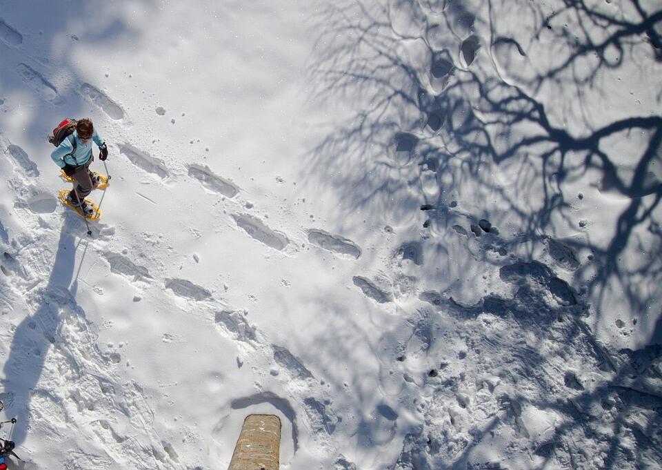
Leaving from the hamlet of Souliers, this is an easy walk for the whole family or just a few friends. You'll enjoy a woodland crossing and walk along an old irrigation canal.
-
Starting from the hamlet of Souliers, an easy walk to do with family or friends, you will enjoy a crossing in the woods and you will walk on an old irrigation canal. It may not seem like it, but this canal will lead you to the lake of Roue. A beautiful lake surrounded by larches where the Pic du Grand Rochebrune is reflected. Just for the landscape, you will not regret to have come!
- Departure
- Arvieux
-
-
Difference in height
- 114 m
-
-
-
Plain text period
-
From 20/12/2025 to 22/03/2026 daily.
Subject to favorable snow and weather conditions.
-
-
-
Spoken languages
-
-
-
-
-
Documentation
- GPX / KML files allow you to export the trail of your hike to your GPS (or other navigation tool)
-
- 114 meters of difference in height
-
- Maximum altitude : 1915 m
- Minimum altitude : 1827 m
- Total positive elevation : 114 m
- Total negative elevation : -139 m
- Max positive elevation : 30 m
- Min positive elevation : -27 m
