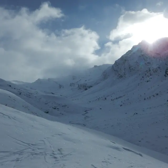

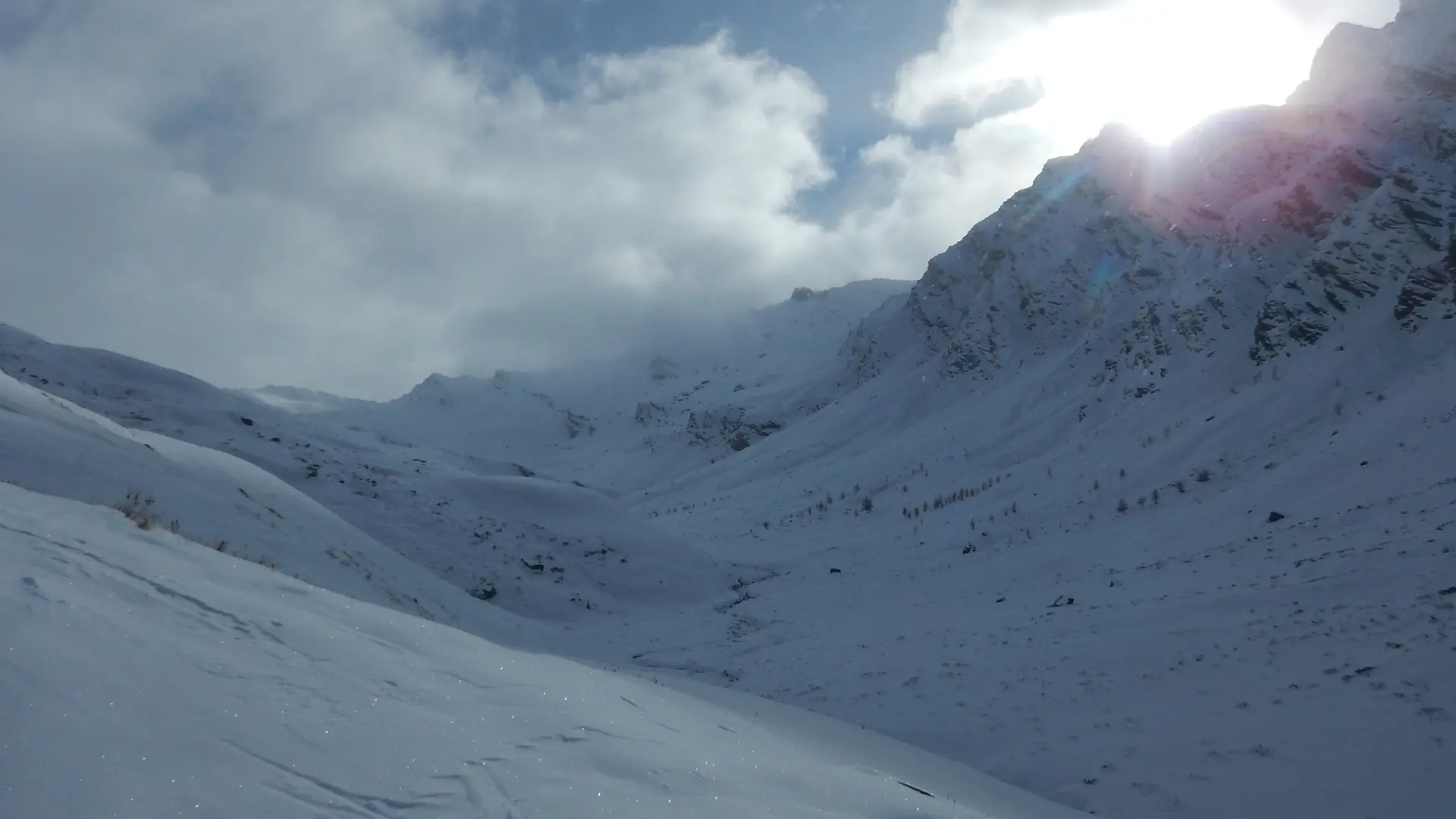
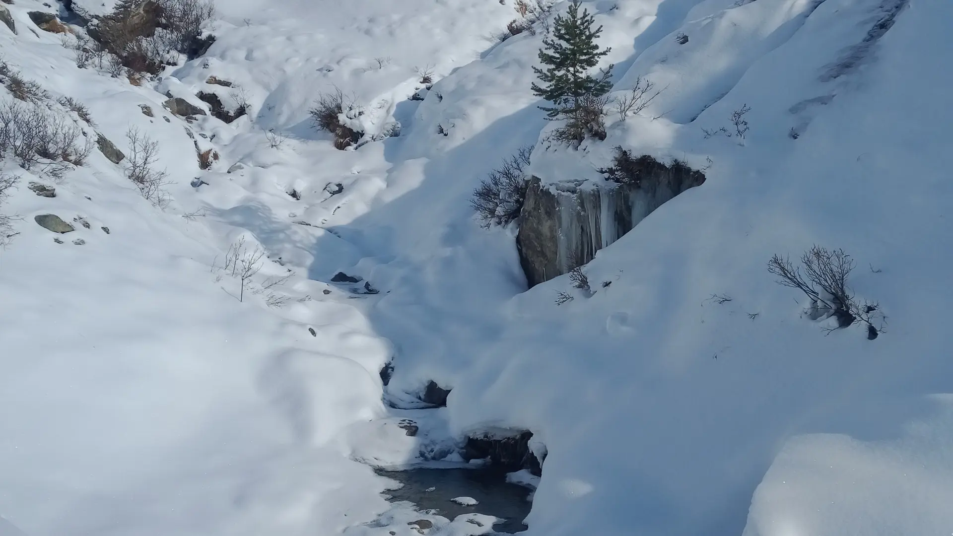
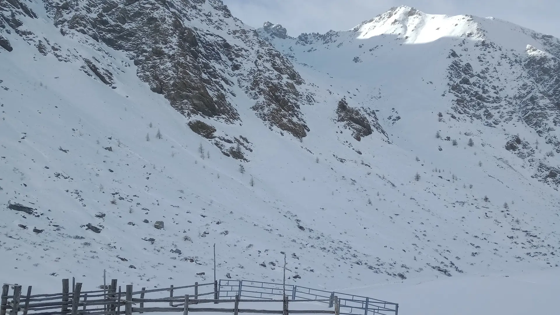
The Agnel, mythical pass for cyclists, but also for skiers, fat-bikers and snowshoe hikers! You evolve between 2040 and 2744 m of altitude, enough to boost your red blood cells!
The refuge de l'Agnel is open part of the winter to warm up and eat!
For your safety, check the grooming bulletin on our website. It's updated every evening, so you know the avalanche risk.
The ski patrollers will be able to advise you on the different itineraries. The nearest reception point is at Pont de Lariane, the starting point for this itinerary.
This is a groomed mountain route, groomed periodically but not secured. You are therefore on your own responsibility.
This itinerary is shared with pedestrians, snowshoers, Fat bikes... Let's be respectful of each other. During the Nordic integrals with grooming (info in the bulletin and in the diary), we go after 1 p.m., in the morning it's reserved for cross-country skiers!
Piste Rescue: 04 92 46 76 72 or 112
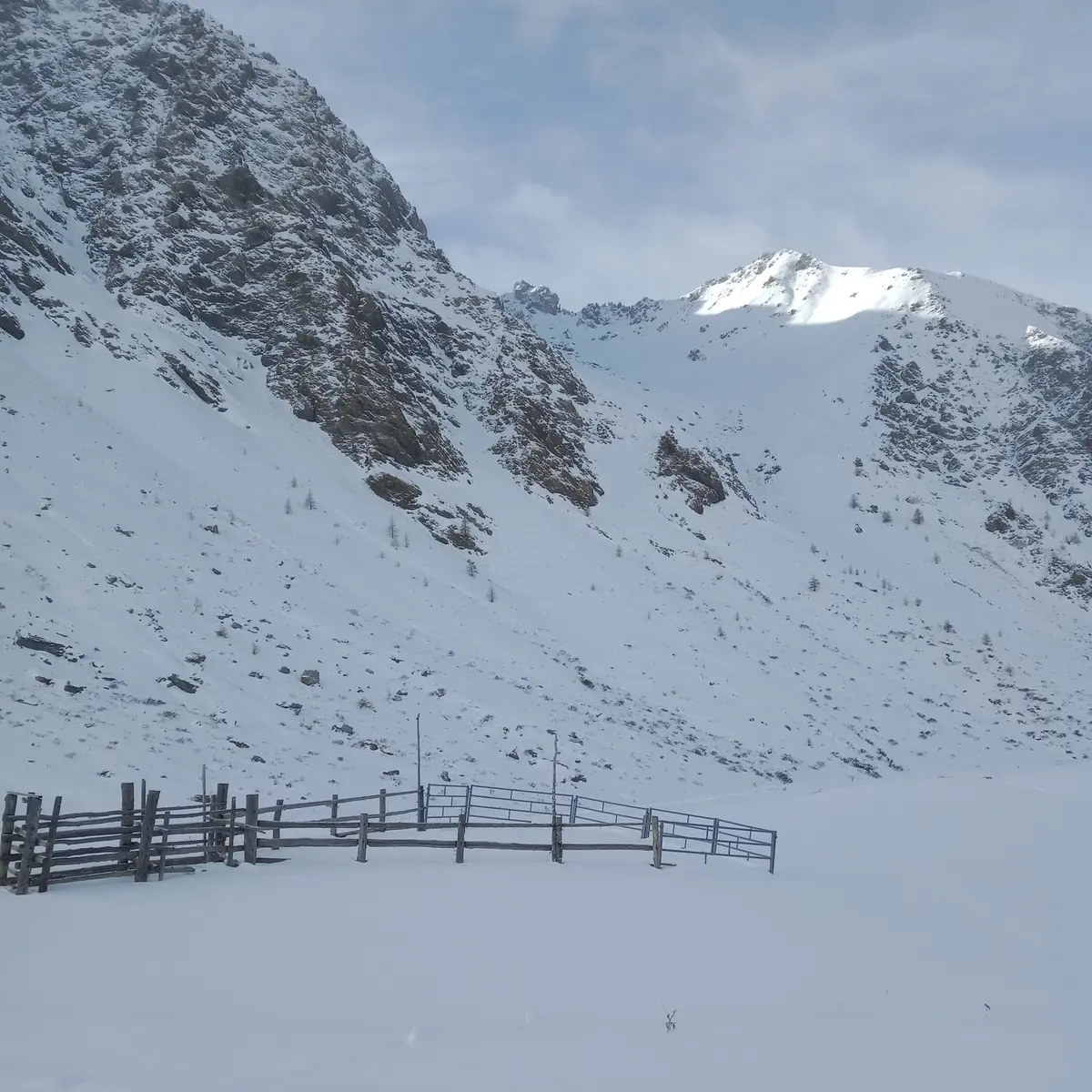
The reception chalet is located at the Chalp de St Véran
For your safety, check the grooming bulletin on our website. It's updated every evening, so you know the avalanche risk.
The ski patrollers will be able to advise you on the different itineraries. The nearest reception point is at Pont de Lariane, the starting point for this itinerary.
This is a groomed mountain route, groomed periodically but not secured. You are therefore on your own responsibility.
This itinerary is shared with pedestrians, snowshoers, Fat bikes... Let's be respectful of each other. During the Nordic integrals with grooming (info in the bulletin and in the diary), we go after 1 p.m., in the morning it's reserved for cross-country skiers!
Piste Rescue: 04 92 46 76 72 or 112
The reception chalet is located at the Chalp de St Véran
Rates
Rates
10 € for cross-country skiers the morning after grooming. From 5 € / day for pedestrians, snowshoers, fat-bikers... (contribution to the maintenance of this itinerary).
Free for Nordic Pass holders.
Free for Nordic Pass holders.
Openings
Openings
From 1 January 2025 until 23 March 2025 - Open everyday
Location
Location
Spoken languages
Spoken languages
