
Itinéraire all mountain VTT "Valpréveyre"
in Abriès-Ristolas
12.6
km
-
ROUTE BEING MARKED OUT
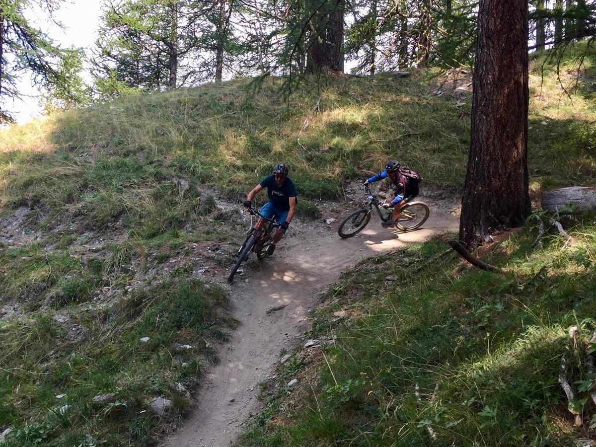
Discover the small hamlet of Valpréveyre on an easy, wooded trail! -
A downhill ride that takes you via a forest track to Valpréveyre, a small mountain hamlet. You then switch to a pretty balcony trail that takes you back through the forest to the Bike Park trails. An optional loop takes you through the hamlet of Valpréveyre and the Bouchet torrent.
Go (return by chairlift, or by pedal on a connecting route).
This itinerary crosses and even shares sections with hiking trails, including the GR58: take it easy! for a shared mountain.
- Departure
- Abriès-Ristolas
-
-
Difference in height
- 134.344 m
-
-
-
Plain text period
-
From 06/07 to 24/08/2025 on Monday, Tuesday, Wednesday, Thursday, Friday, Sunday and bank holidays between 9.30 am and 12.50 pm and between 2 pm and 4.50 pm.
Subject to favorable weather.
-
-
-
Spoken languages
-
-
-
-
-
Documentation
- GPX / KML files allow you to export the trail of your hike to your GPS (or other navigation tool)
-
- 134 meters of difference in height
-
- Maximum altitude : 2012 m
- Minimum altitude : 1552 m
- Total positive elevation : 134 m
- Total negative elevation : -595 m
- Max positive elevation : 36 m
- Min positive elevation : -85 m


