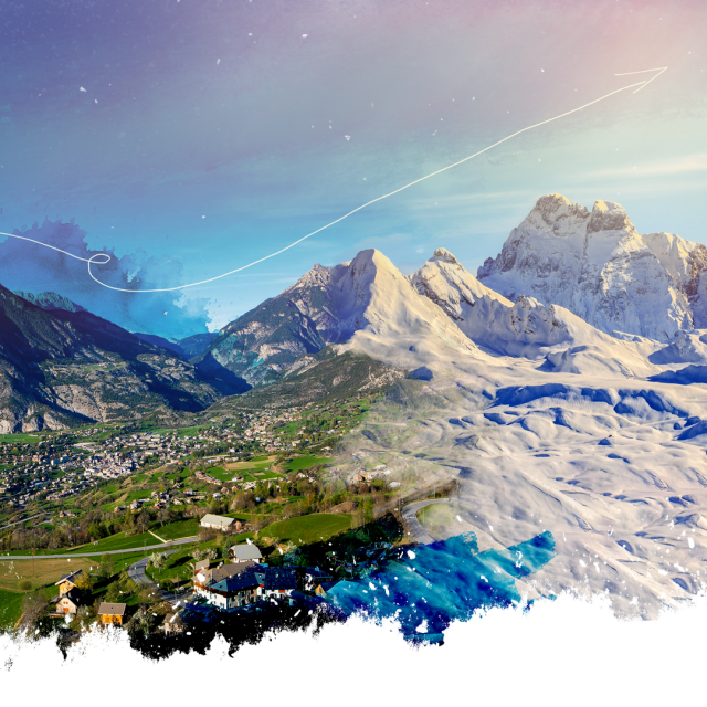
Sky, valley and unspoilt nature: everything we love!
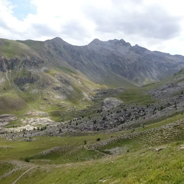
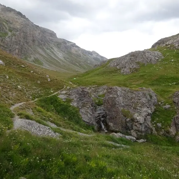
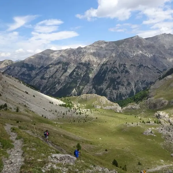
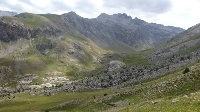
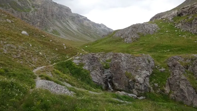
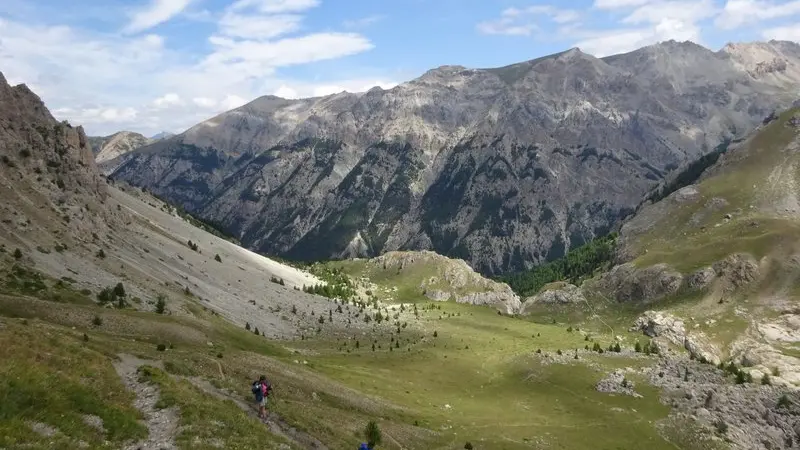
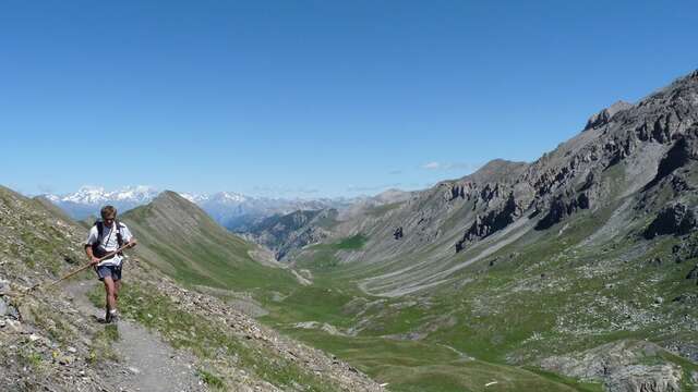
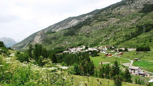
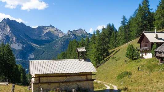
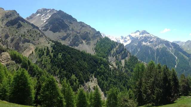
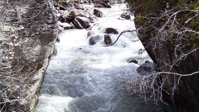
The adventure begins in the Val d'Escreins, a stone's throw from Guillestre, in this "so-so" nature reserve that is an absolute delight for the eyes. Park at the large parking lot at Basse Rua. Set off for the first ascent through the forest, which will teach our calves the benefits of shade. The magnificent Laugier valley opens up before you and you continue towards the Col de la Coulette. From here, on the one hand it's an episode of "Martine à la montagne" with the Queyras in the background (Font Sancte, 3389m) and on the other it's a version of "Les Bronzés" without skiing, with the Vars ski lifts! On a path as gentle as an aperitif, head back down into the valley to complete the most delightful of loops. The return to the parking lot goes smoothly, with a drink just below at the Basse Rua refuge!
In spring and autumn, conditions are changeable: even without snow, the trail can be icy. As a result, the reflex in the mountains is to go out well-equipped. In my bag, I slip or I hang: crampons and poles.
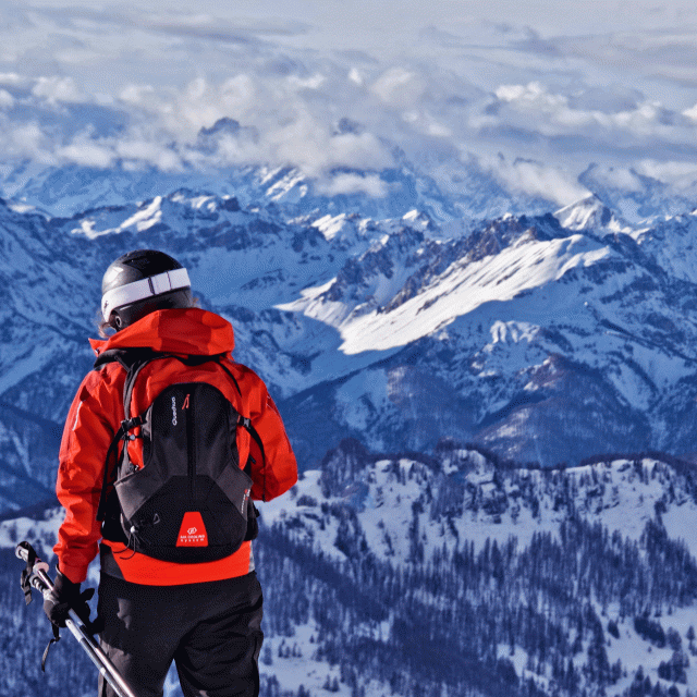
In winter, the right reflexes are: snowshoes, poles, gloves, hat, sun cream and... a survival blanket! Experience is essential, and knowing when to give up is sometimes preferable to taking risks. And if you're new to the mountains, don't hesitate to call in a professional! Before going out, I check the Météo France Montagnes and BERA bulletins (risks and avalanches).