
Circuit raquettes - les Mélèzes
Sport, Winter sports, Snowshoe itinerary
in Ceillac
3.5
km
-
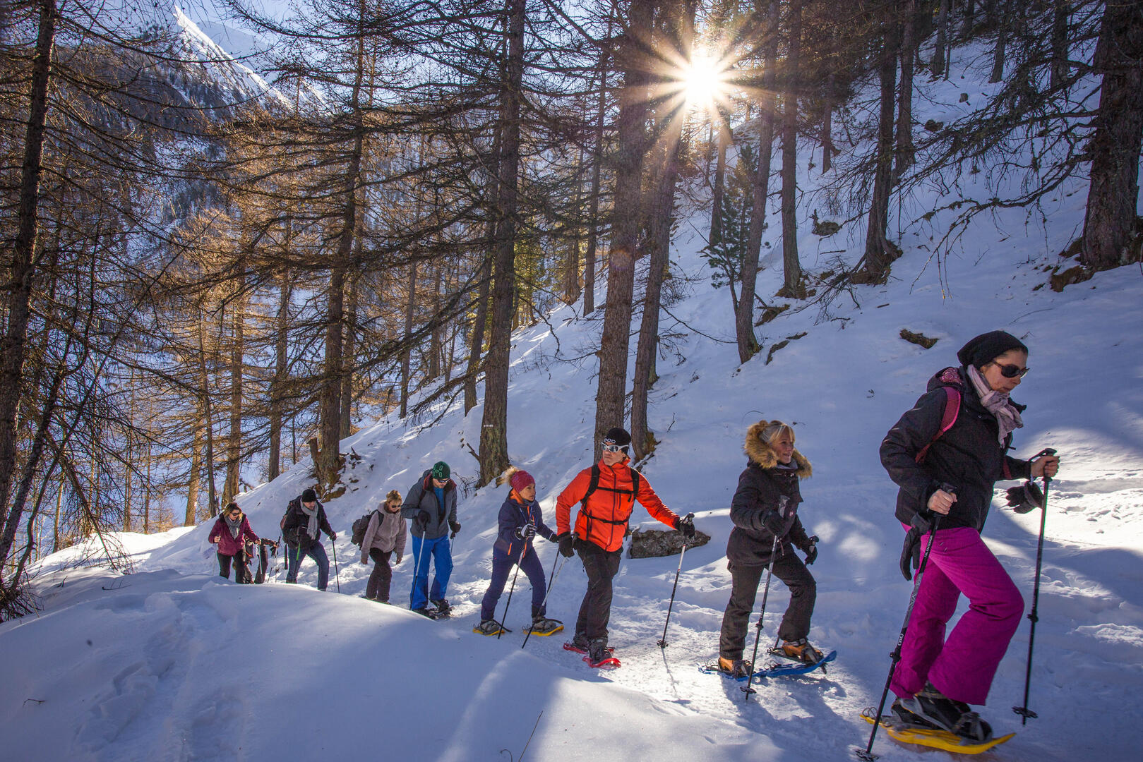
Heading towards the Mélézet valley, this itinerary takes you up high above the powdery plain, before looping around to reach the other side of the aptly-named Mélézet, where the larch trees stand with their bare branches in beads of snow.
- Departure
- Ceillac
-
-
Difference in height
- 83 m
-
-
-
Plain text period
-
From 20/12/2025 to 29/03/2026 daily.
Subject to snow conditions.
-
-
-
Spoken languages
-
-
-
-
-
Documentation
- GPX / KML files allow you to export the trail of your hike to your GPS (or other navigation tool)
-
- 83 meters of difference in height
-
- Maximum altitude : 1699 m
- Minimum altitude : 1635 m
- Total positive elevation : 83 m
- Total negative elevation : -77 m
- Max positive elevation : 58 m
- Min positive elevation : -50 m
