


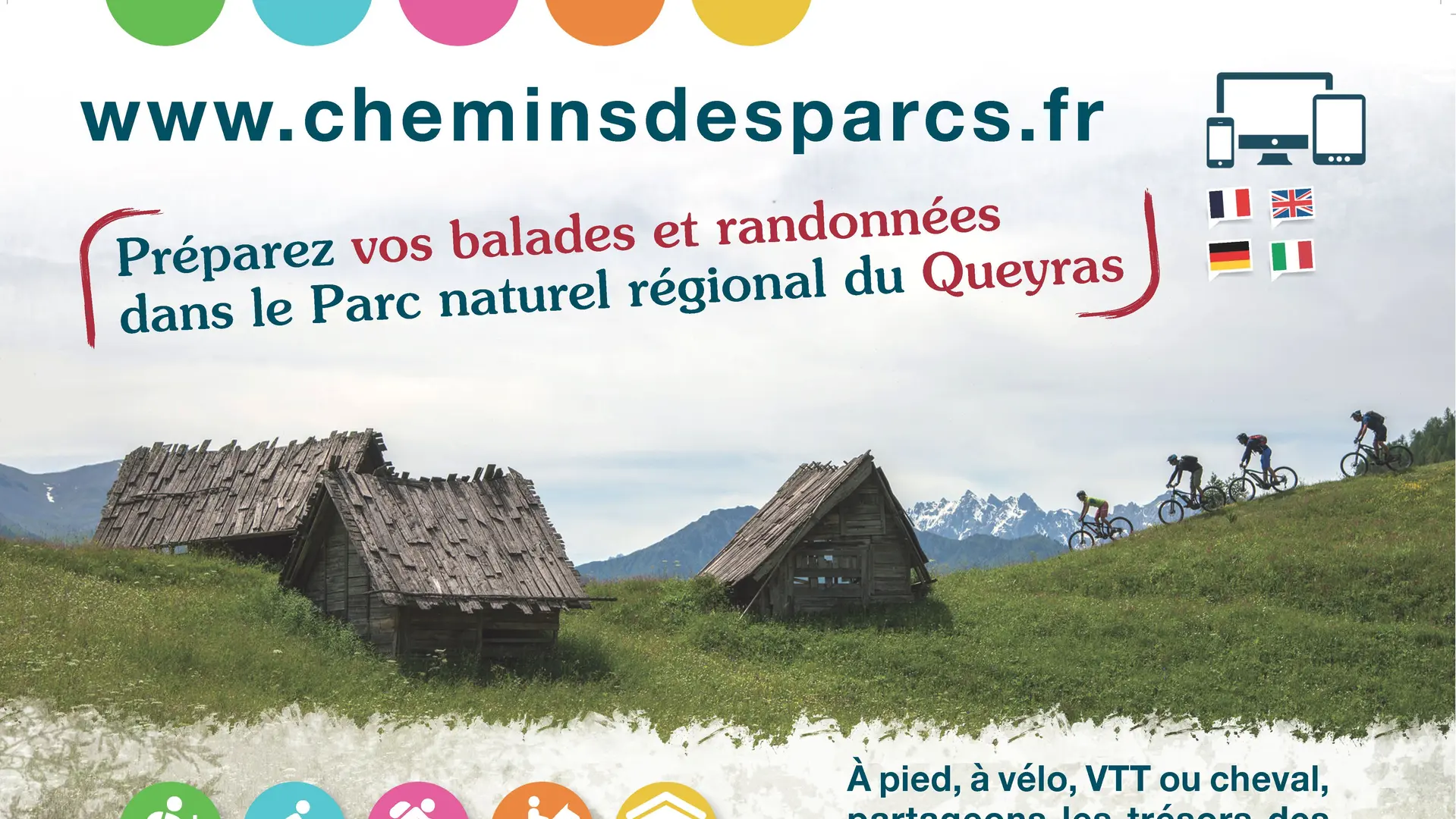
Description
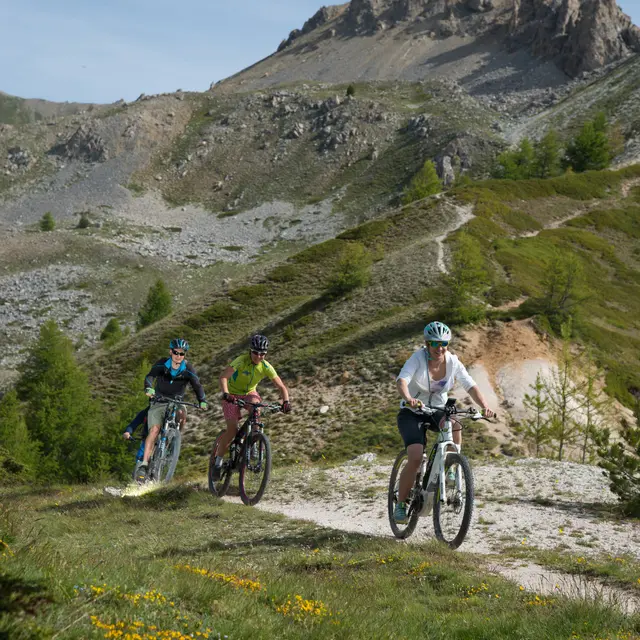
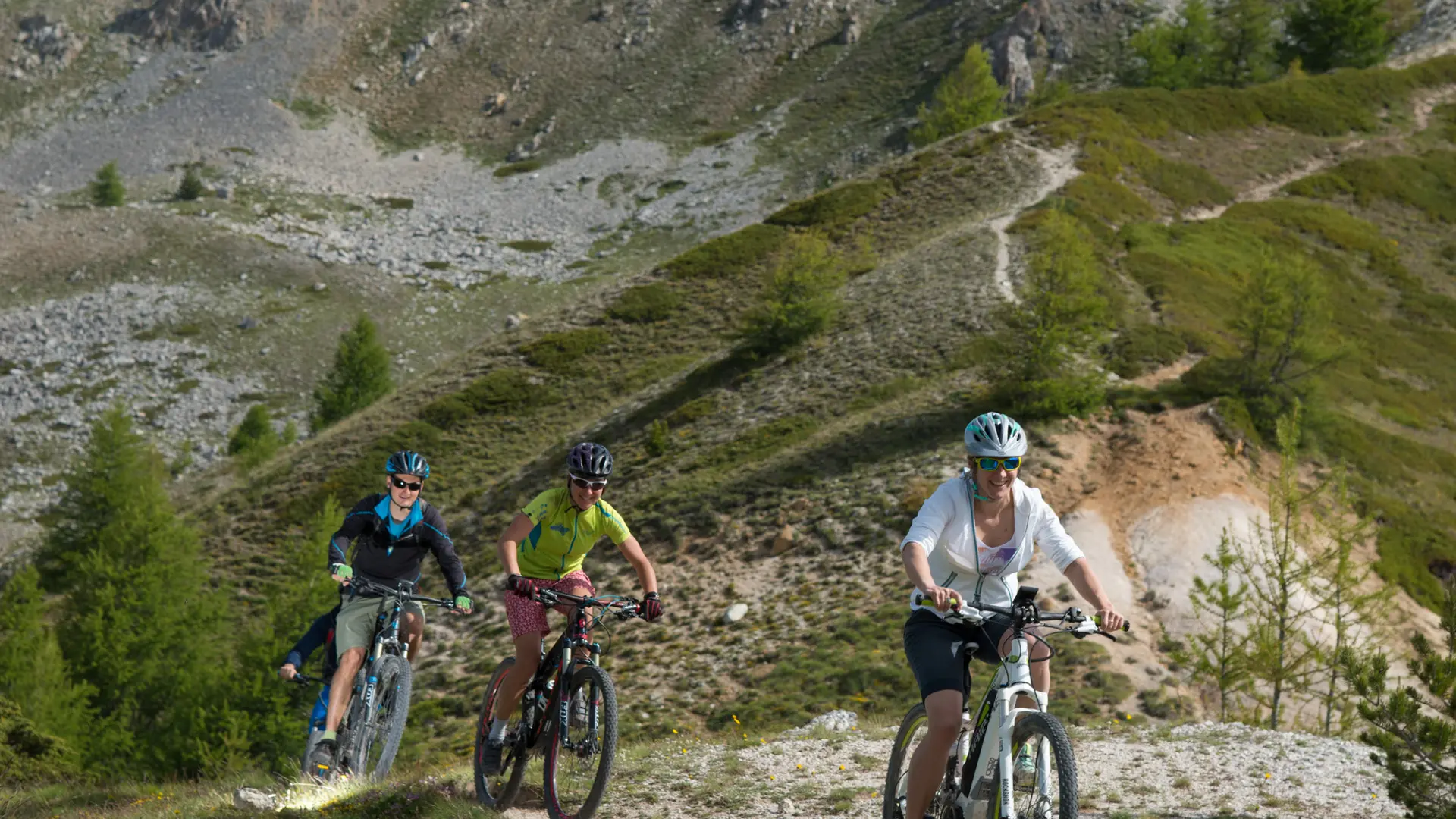
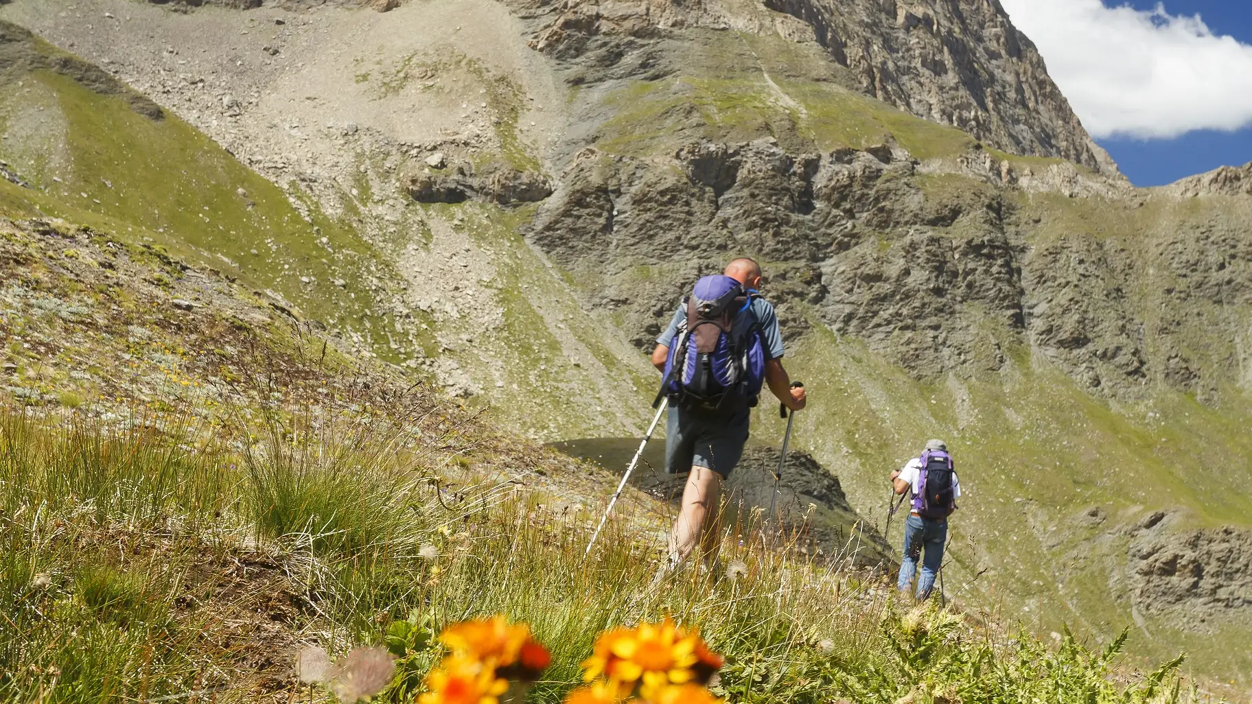
Come and discover the new Chemins des Parcs website and its mobile application to prepare all your hikes in the Queyras.
Dedicated to hiking and mountain biking, this web portal was created by the Regional Nature Parks of Provence Alpes Côte d'Azur and developed in partnership with the tourist office of Guillestrois and Queyras. It is also an ""app"" for smartphones.
You can select and view your hikes on IGN maps - or in 3D view on satellite photos - thanks to a multi-criteria search engine: municipality, orientation, duration, altitude difference, theme, ... or by a cartographic search.
Each route is enhanced with points of interest encountered during the walk: geology, fauna, flora, heritage, easy to display as well as photos of the landscapes traversed.
Not forgetting the altimeter profile of the route, the PDF and the GPS track to download as well as a link to the alert site on the state of the trails for any problem to report!
