
Chapelle Sainte Agathe en VTT
Sport, Cycling sports, Mountain biking itinerary
in Molines-en-Queyras
3.2
km
50min
Easy
-
A quiet stroll through the Aigue Blanche valley
-
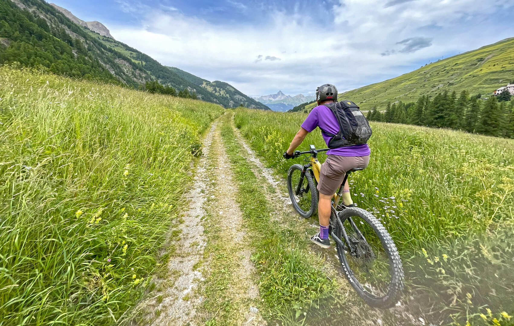
On this easy loop from Molines, you'll follow the Aigue Blanche through the agricultural and pastoral landscape typical of the Queyras: a shared mountain and its stone heritage protected from oblivion in its inhabited hamlets. Magnificent scenery in the heart of the unspoilt Aigue Blanche valley.
- Departure
- Molines-en-Queyras
-
-
Difference in height
- 51 m
-
-
-
Plain text period
-
From 01/06 to 01/11 daily.
Subject to favorable snow and weather conditions.
-
-
-
Spoken languages
-
-
-
-
-
Documentation
- GPX / KML files allow you to export the trail of your hike to your GPS (or other navigation tool)
-
- 51 meters of difference in height
-
- Maximum altitude : 1793 m
- Minimum altitude : 1738 m
- Total positive elevation : 51 m
- Total negative elevation : -54 m
- Max positive elevation : 27 m
- Min positive elevation : -2 m


