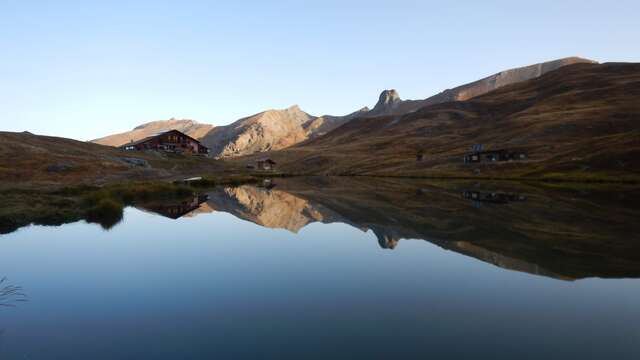
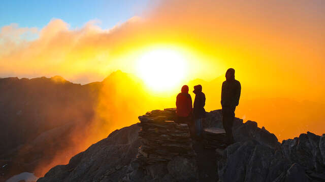
Balcony tour, without difficulty, which allows to discover the hamlets of Serre and La Rua. It follows the canal of Pierre Dimanche with an undergrowth of larches. Nice view on the "Demoiselle coiffée" from the first ruin of the Serre des Chabrands.
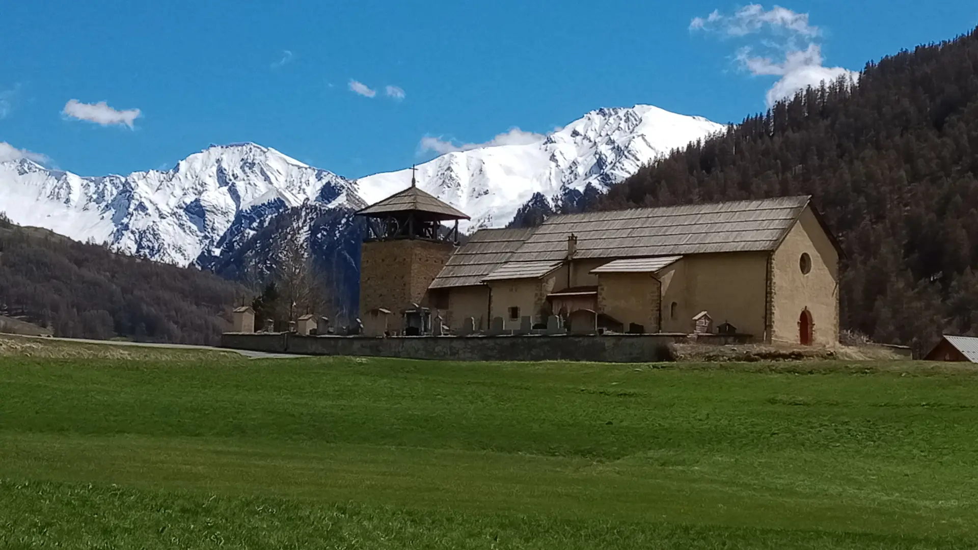
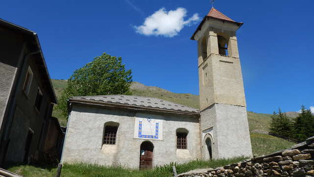
Park near the Eglise St Romain.
Cross the route de St Véran and go up into the village of Molines.
At the crossroads after the school and tourist office, continue straight ahead on the narrowest road through the old village of Molines. At the bridge, a signpost indicates "Molines en Queyras. Alt 1765 m". Follow signs for Pierre Grosse.
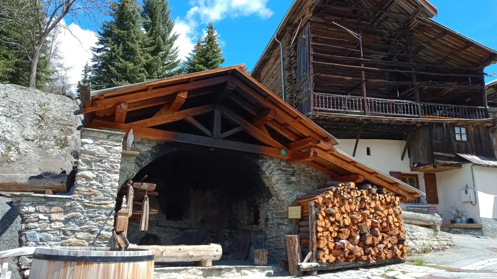
Discover the bread oven and traditional houses.
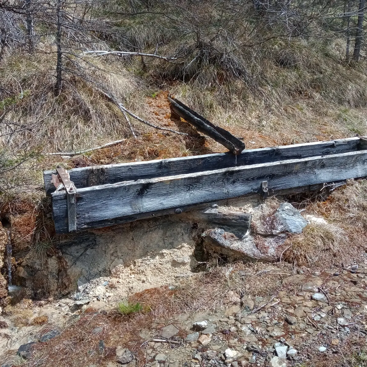
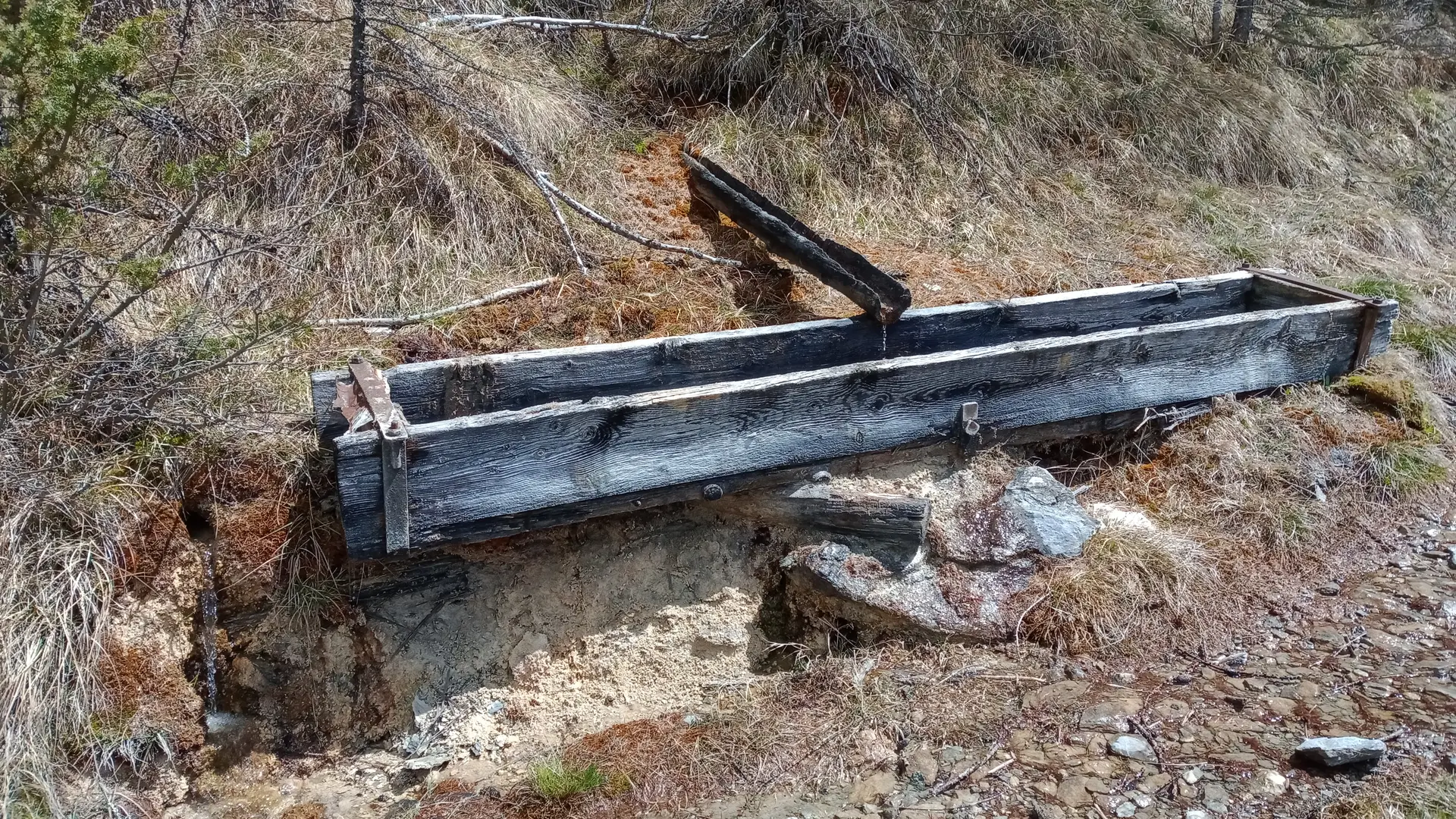
Continue until you reach the Col Agnel road. Cross the road, and at the signpost "Molines, le Serre. Alt 1790m", follow the Canal de Pierre Dimanche signs until you come to the Col Agnel road. Follow the road for 500 m, then cross it. The path continues to the right of the farm. Continue until you reach a small bench and the signpost "Canal de Pierre Dimanche. Alt 1869 m". From here, turn left, direction Prats Hauts. At each marker, continue towards Prats Hauts. The Pra Comtal stream can be forded! Avoid this itinerary after heavy rain or thunderstorms!
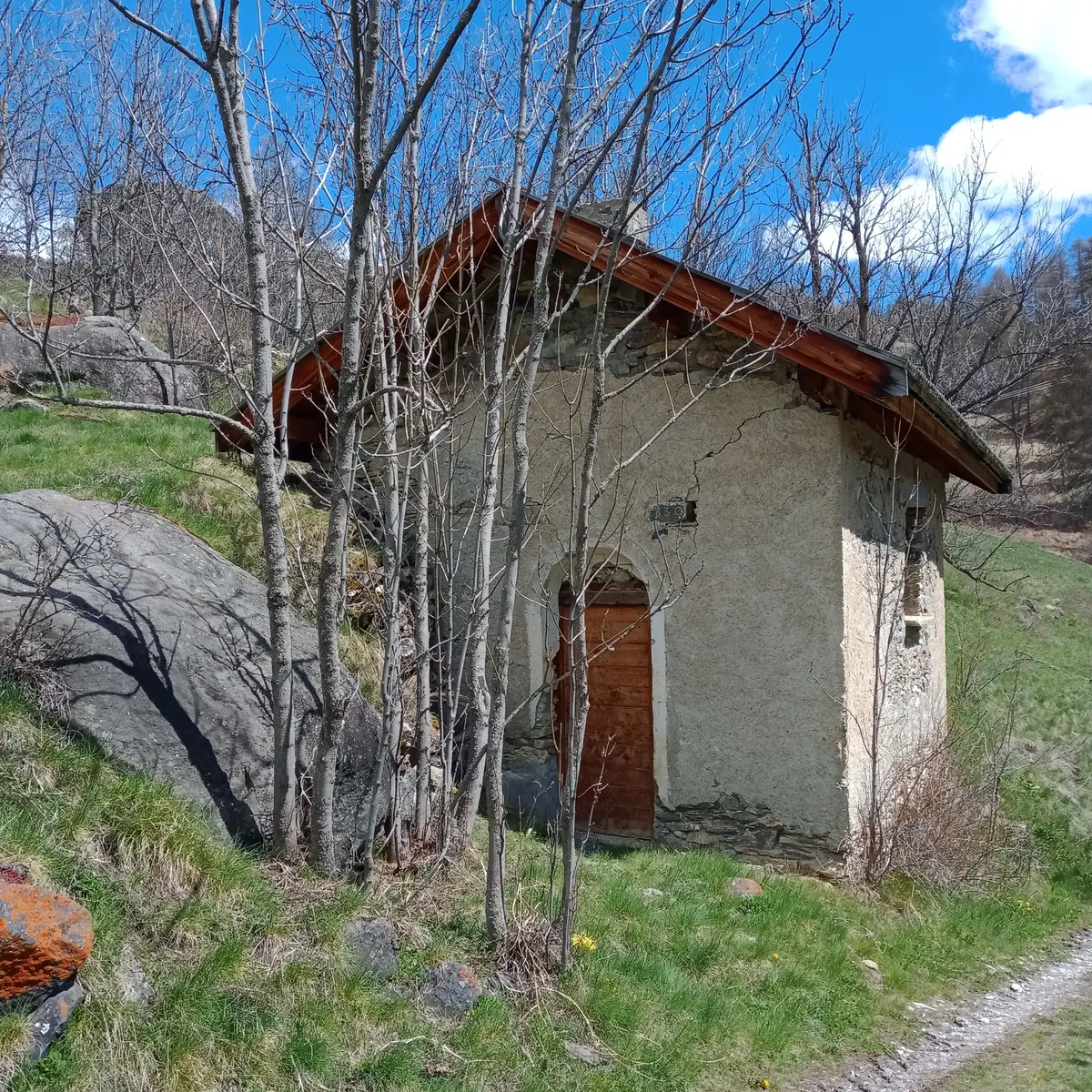
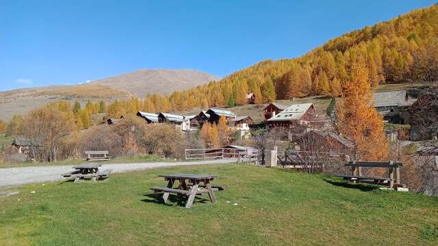
Once you've reached the hamlet of Prats Hauts, follow the road to the signpost "Prats Hauts, Choulière. Alt 1780 m", follow signs for Le Serre des Chabrands. The path leaves under the road.
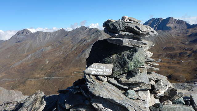
To discover: At the entrance to Le Serre des Chabrands, take a quick look to the right to see the coiffed damsel!
Continue along the path towards La Rua de Molines. When you reach the road to Molines, cross over and follow the road to the entrance to the hamlet of La Rua, then cross the hamlet.
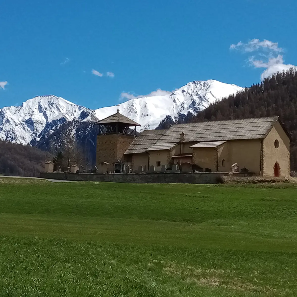
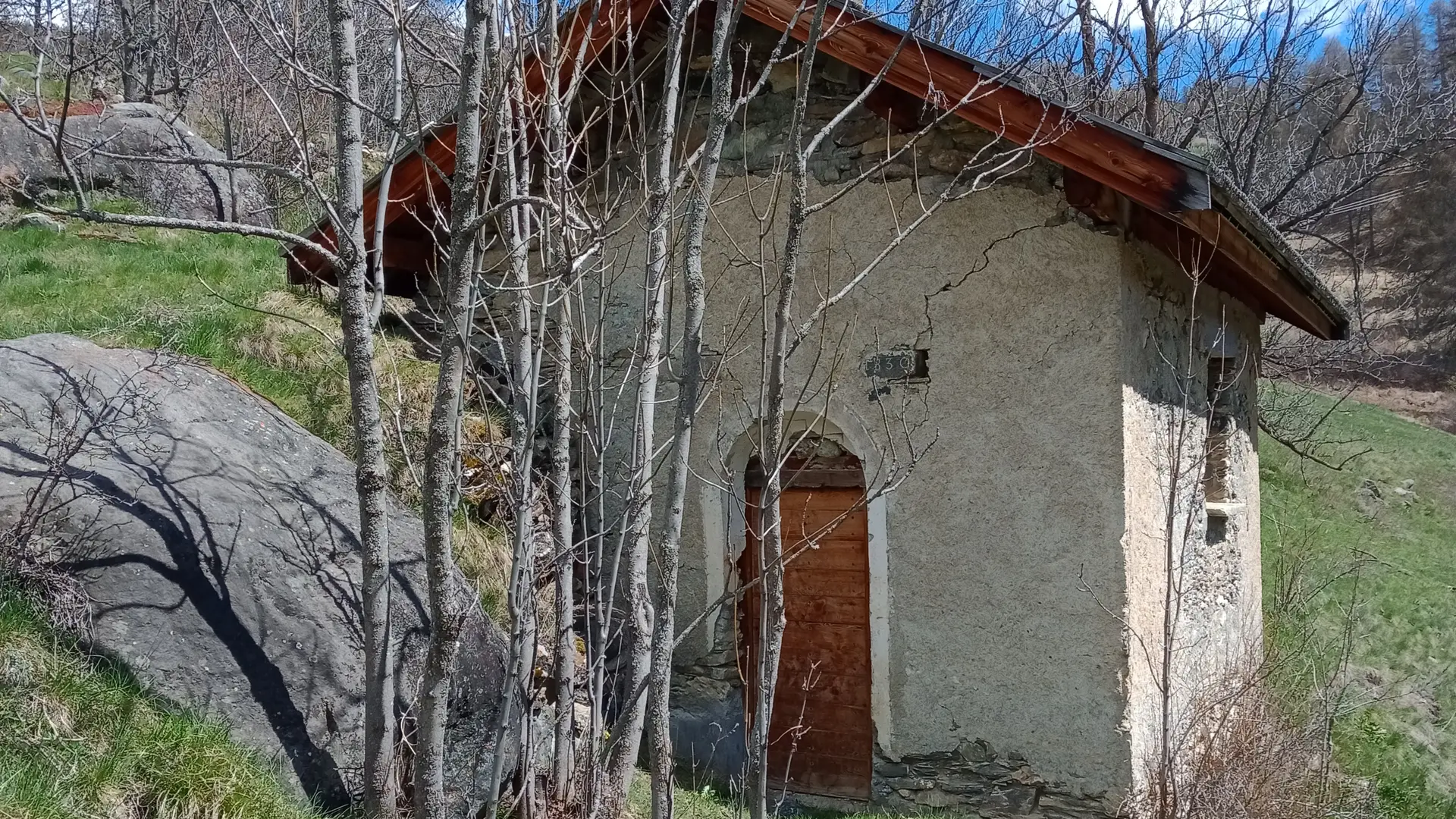
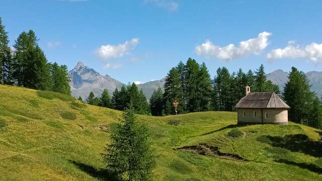
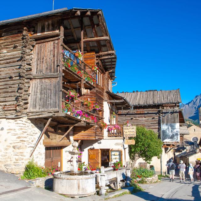
Discover the architecture and listed houses. Reach the church of St Romain.
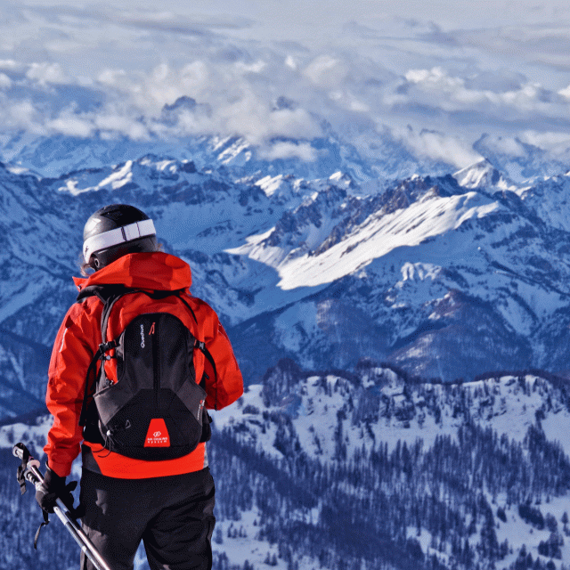
In spring and autumn, conditions can change, and even snow-free trails can be icy. So, in the mountains, the reflex to adopt is "go out well equipped". In my bag, I slip or I hang: crampons and poles.
In winter, the right reflexes are: snowshoes, poles, gloves, hat, sun cream and... a survival blanket! Experience is essential, and knowing when to give up is sometimes preferable to taking risks. And if you're new to the mountains, don't hesitate to call in a professional! Before going out, I check the Météo France Montagnes and BERA bulletins (risks and avalanches).