Description
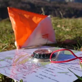
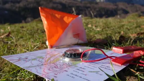
Would you like to learn how to read an IGN map? A what? A map with all the trails, roads, paths, itineraries, contour lines... you name it!
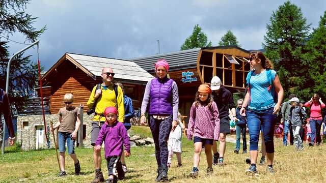
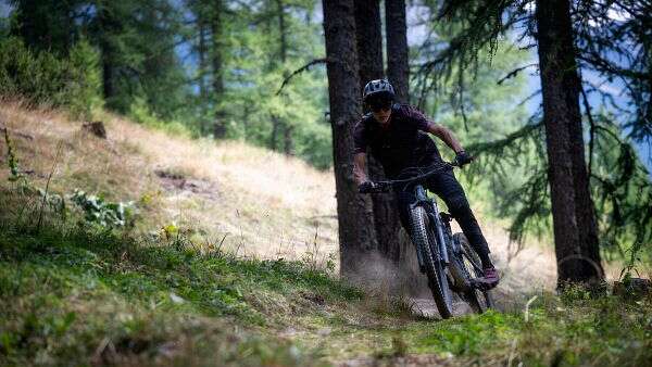
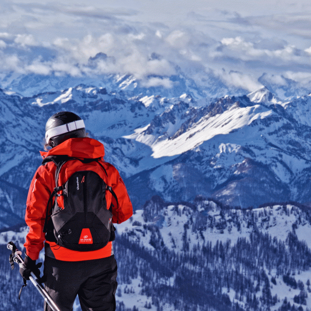
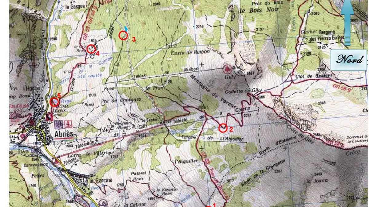
On three routes (2 on foot and 1 on mountain bike) starting from the top of the Abriès chairlift, discover the beacons hidden in the Gilly mountain to find the reward!
You're bound to find a trail to your liking: a special family discovery trail, a sporting trail or a bike trail.
The map can be collected directly from the Rock'N'Ride tent at the start of the chairlift.
An explanation is available for the less experienced and to help you improve your map-reading skills.
On arrival at the tent, check your answers and understand your mistakes!
Start: top of Gilly chairlift
Arrival: village of Abriès
Approximate time: 3H
Some markers are located off the trail!
Free access, under your own responsibility.
Reproduction of IGN map with permission.
Audience
- Minimum age (in years) : 6
Openings
From 5 July 2026 until 23 August 2026 - Closed on saturday