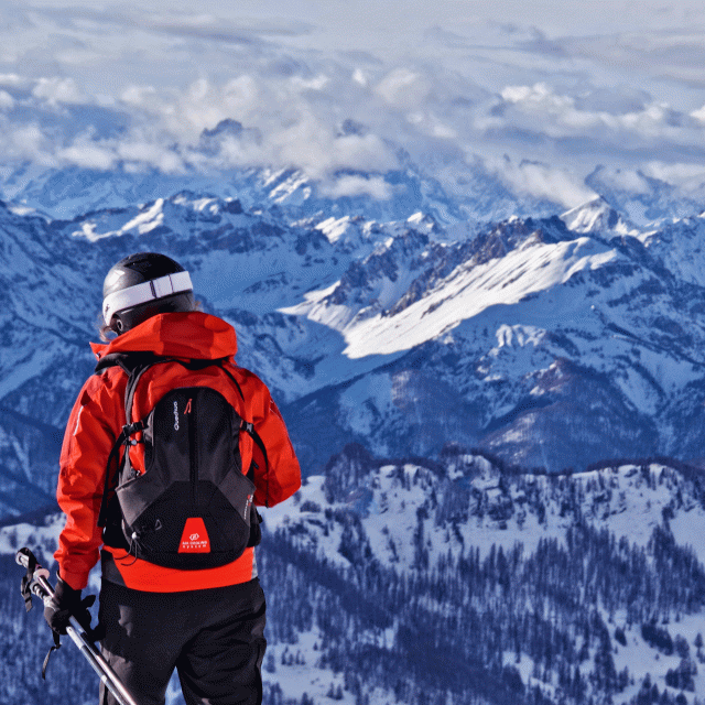
From the Guil gorges, a carriage road leads to one of the Queyras' most emblematic peaks, the Bucher summit.
Please note: From July 10 to August 18, forestry work is taking place in the Chanteloube Forest area and may affect the route of this gravel trail.
What a pleasure it is to reach one of the few peaks accessible by bike! This landmark of the Queyras offers one of the region’s most beautiful panoramic views. In the spring and early fall, you’ll avoid the heavier summer crowds on this route.
1 – Château Queyras (Parking Lot)
The desire to climb up there, to find solitude, drives me to tackle this long slope. As soon as you pass through the Guil Gorges, the climb up the gravel road begins: it won’t end until 9 km higher up. Along the way, a few cabins bear witness to human presence.
2 – Larch Forest
I pass through a magnificent “larch forest” (1,670 m), a conifer that, in the 19th century, recolonized the abandoned pastures and hay meadows.
3 – Saint-Simon Chapel
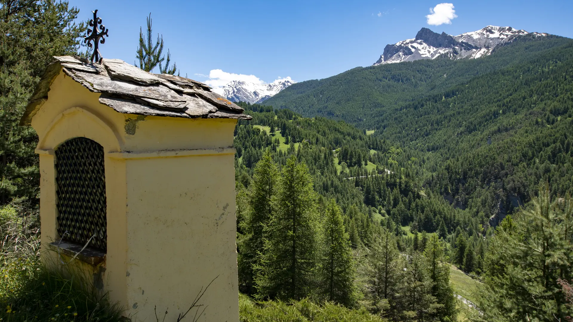
I leave the vehicle-accessible trail and, at a left-hand turn, take the Saint-Simon forest road. Higher up, at the “Saint-Simon Chapel (2,198 m),” a pilgrimage site honors a hermit said to have lived in the region at the dawn of Christianity. The chapel was built next to a miraculous spring, reputed to heal eye ailments.
4 – Leyssard Woods
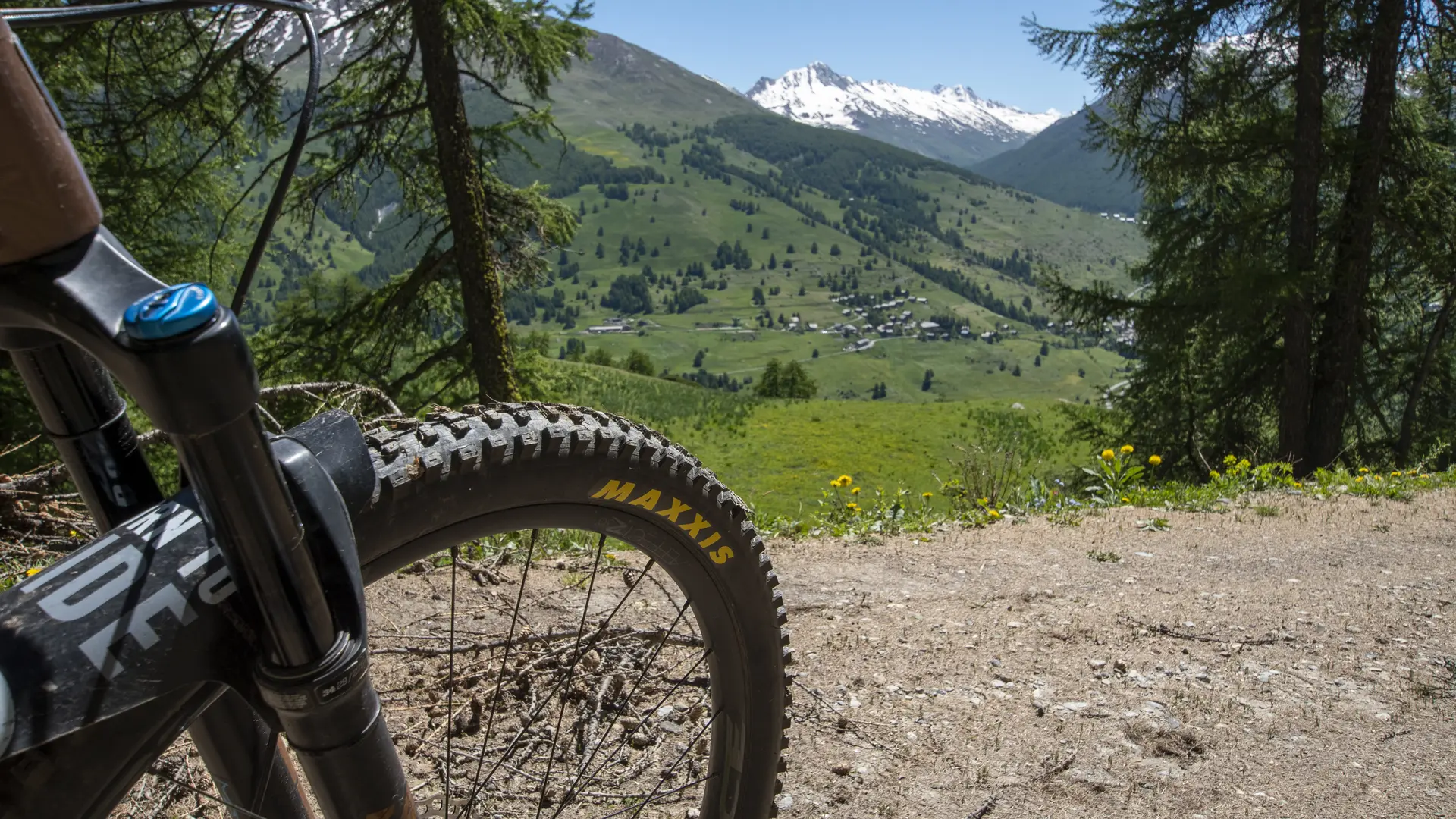
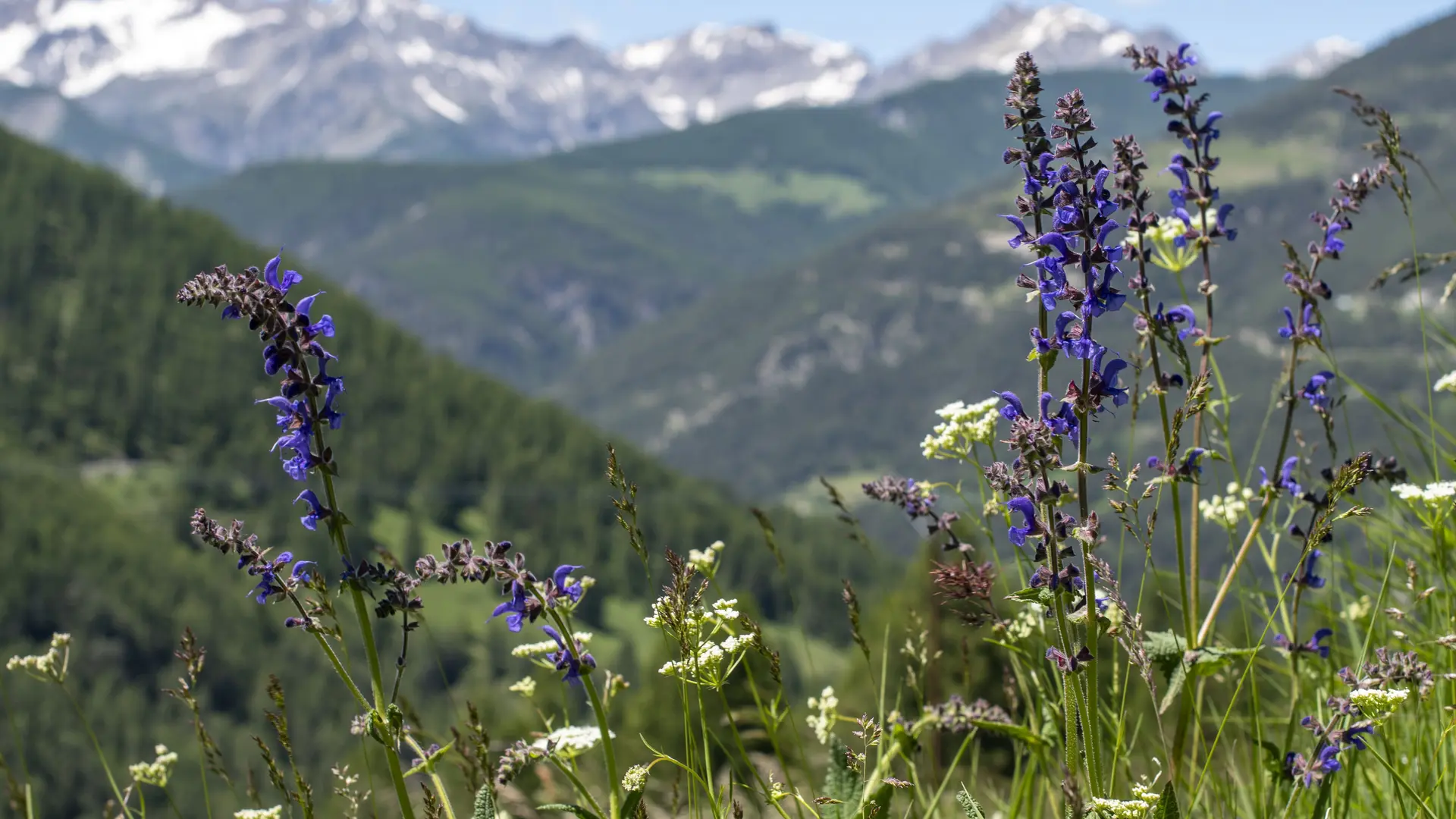
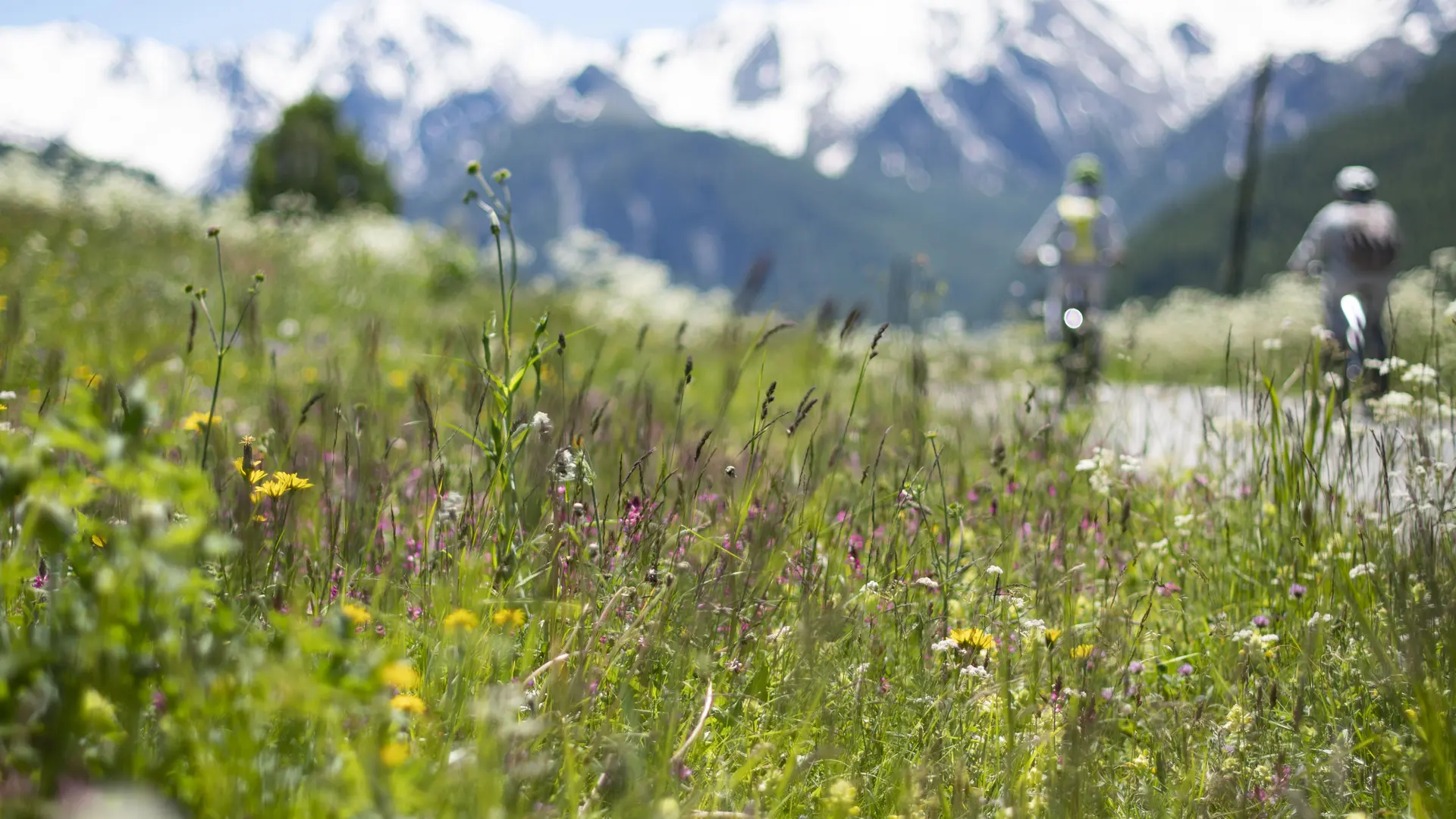
The forest road becomes a smooth path. It winds its way through the various alpine zones. In the spring, the meadows are covered with thousands of flowers. In the Leyssard Woods, clearings offer a splendid panoramic view of the Aigue Agnelle Valley.
5 – Pont du Moulin
As I approach the Pont du Moulin, the descent is very steep, forcing me to dismount.
6 – Prats Hauts and Prats Bas
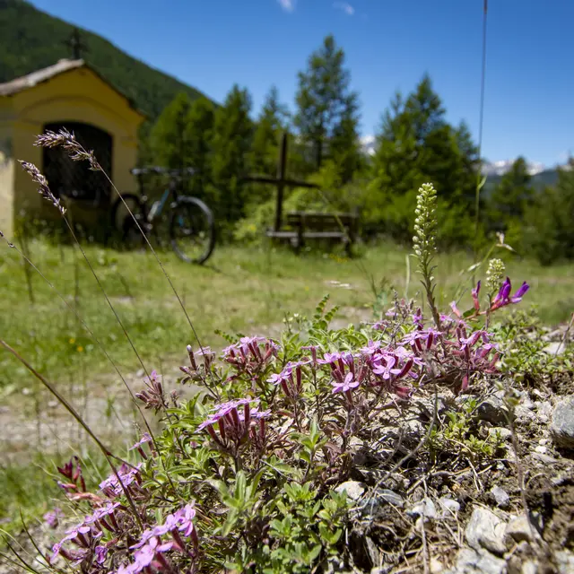
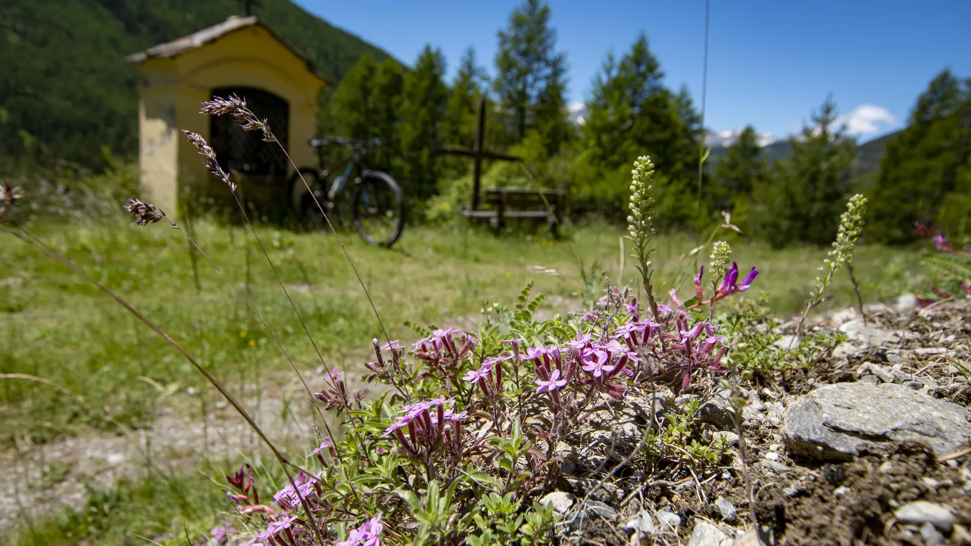
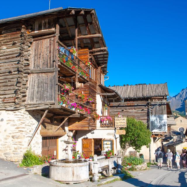
On the other side of the river, I climb a very steep path that leads to Molines-en-Queyras. In the village, I turn left onto Rue de Gaudissard. It takes me to the hamlet of the same name, which I pass through. Further along the same road, the hamlets of “Prats-Hauts (1,779 m) and Prats-Bas (1,570 m)” follow one after the other. I leave the road at the entrance to the last hamlet. All along the trail, the alpine pastures are in bloom and surround the wayside shrine in the Chanteloube Forest.
7 – Aiguilles Ski Area
The trail, lined with larch trees, is very pleasant. It reaches the former “Aiguilles Ski Area (1,700 m),” a time when the village still thrived on the sound of ski edges. It all came to an end in 2006 when the chairlift stopped carrying skiers to Aiguilles 2000.
8 – Château Queyras
On the way out of the village, I take the road toward Ville-Vieille. A path along the left bank of the Guil bypasses the main road and leads to Château-Queyras, dominated by the imposing shadow of the castle.
The route is open to the public year-round. It is passable depending on weather and snow conditions. Appropriate gear is therefore required.
Take plenty of water with you. In Prats-Haut, you can fill your water bottle.
In summer, before setting off on this hike far from any habitation, beware of the risk of thunderstorms, which often occur in August, in the late afternoon... The high season is best avoided as many vehicles use the road to climb to the Bucher summit.
Further information on localisation
Further information on localisation
From Guillestre, follow the D947 to Château-Queyras.
Parking at Château-Queyras, below the village.