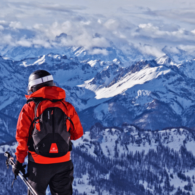
The Pic de Caramantran (3025 m) is a relatively accessible 3000 m hike which offers a very beautiful view on the Mont Viso, the Pain de Sucre, the Tête des Toillies...
Park in the large parking lot located 300 m past the Refuge as you continue toward Col Agnel. Take the GR58 to Col de Chamoussière. From there, there are no more trail markers, but numerous cairns will guide you to the summit. From the pass, head up toward the south, then southeast.
The rest of the ridgeline is more challenging; it’s best to return via the same route.
In spring and fall, conditions are changeable; even without snow, the trail can be icy. Therefore, when hiking in the mountains, always make sure to “go out well-equipped.” In my backpack, I pack or clip on: crampons and trekking poles.
In winter, the essentials are: snowshoes, trekking poles, gloves, a hat, sunscreen, and… a survival blanket! Experience is essential, and knowing when to turn back is sometimes better than taking risks. And for newcomers to the mountains, we recommend hiring a professional! Before heading out, I check the Météo France Montagnes reports and the BERA (avalanche and risk alerts).
In summer, the marauders of the PNR du Queyras welcome you to their chalet on the parking lot.
Further information on localisation
Further information on localisation
Parking lot located 300 m after the refuge on the way up to the Col Agnel.