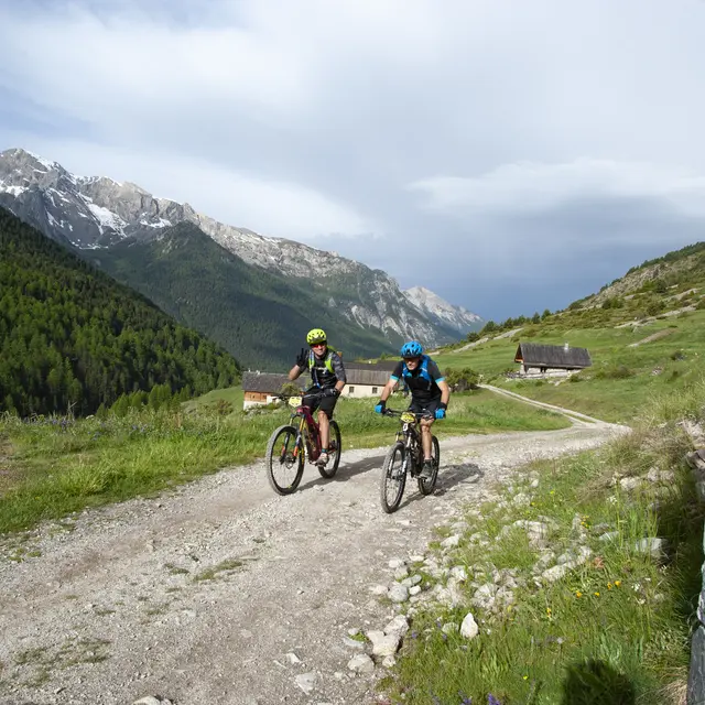
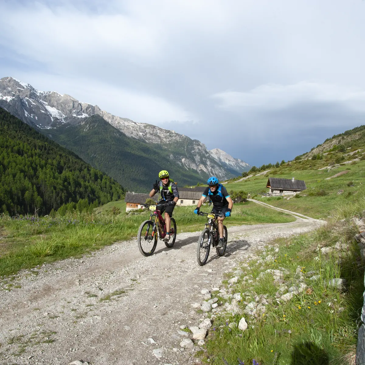
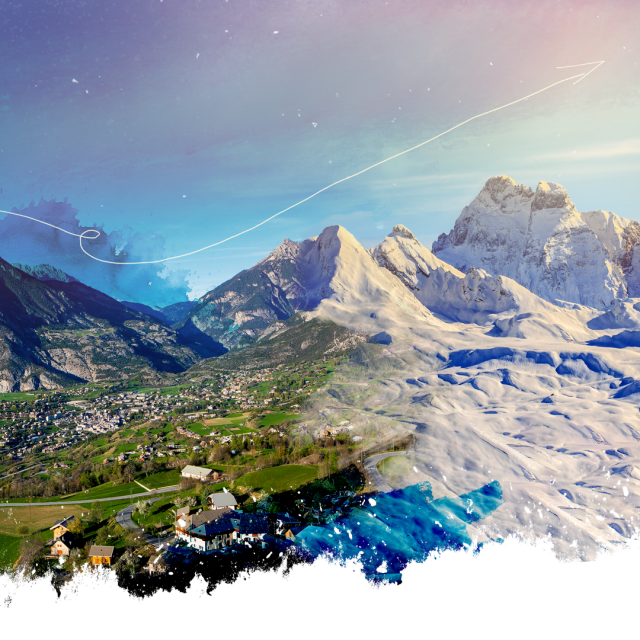
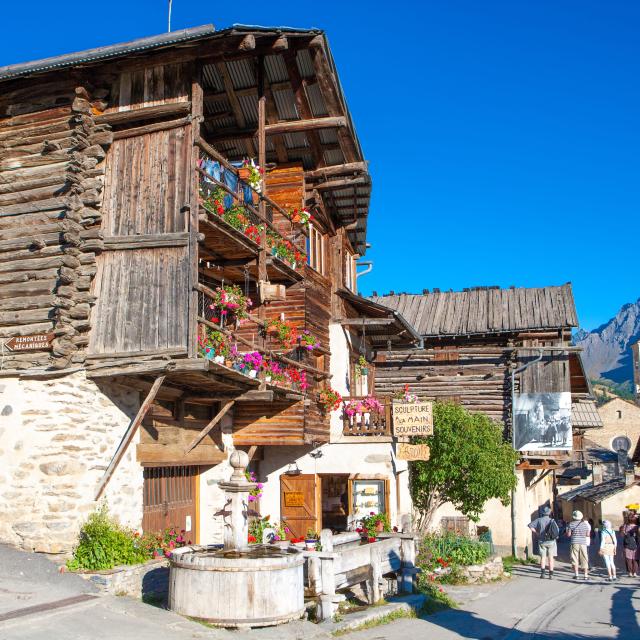
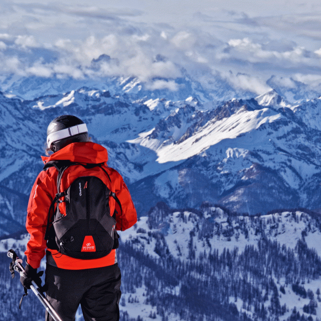
Ceillac sits on a large, high-altitude plateau, with sweeping views of the Mélezet and Cristillan mountains.
In Ceillac, the hike takes you to the Mélezet and Cristillan valleys, where a torrent sparkles like a jewel and offers hikers a magnificent view of the mountains. But it also brought disaster to the village during its devastating floods in 1957.
1 - Ceillac
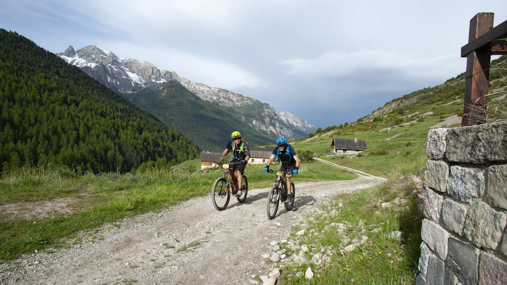
On this October day, dawn offers little cause for optimism. In Ceillac, the peaks are shrouded in mist. The Lombarde—that easterly wind—does not bode well for the day ahead. The rain arrives and plunges the mountains into a bleak landscape. But this summer, the downpour is short-lived. A break in the clouds reveals the high plateau of Ceillac and the surrounding peaks. From the start, I’ve been riding along a quiet little road. I’m making my way through this wide high-altitude valley toward Mélezet, on the border between Guillestrois and Queyras, bounded to the south by the Pic de la Font Sancte, the highest peak in Queyras (3,385 m). I continue cycling through the valley along a vehicle-accessible trail leading to the mountain pastures. It’s satisfying to see how far I’ve come as I watch the path open up in the diffuse sunlight. A 300-meter climb awaits me: the entire distance is covered by bike, with no obstacles or need to carry the bike.
2 – La Riaille
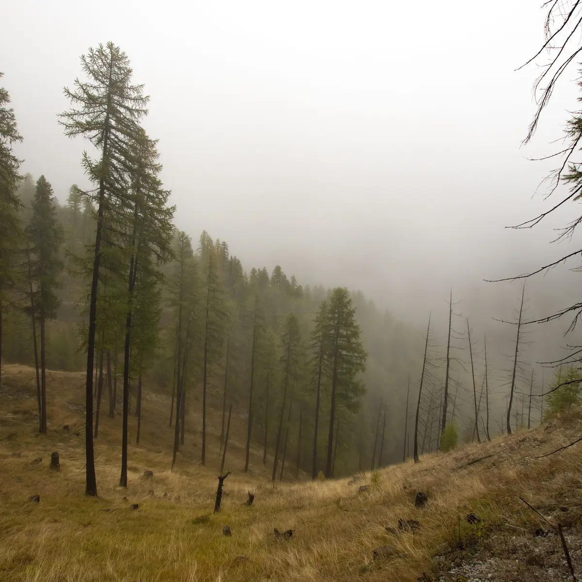
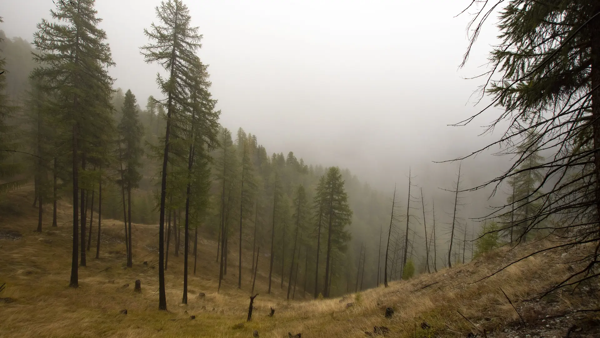
At “La Riaille” (1,850 m), I enter the Jalavez Forest. A trail emerges, taking over from the valley road. I enter the world of the Queyrassine mountains, where the scent of larch mingles with that of pine. The humidity and rain imbue the forest with a spellbinding atmosphere, dotted with charred tree trunks—the aftermath of a recent fire.
3 – Le Cristillan
At the foot of the descent, I cross “Le Cristillan” (1,770 m), a pretty stream that, on June 13, 1957, became a veritable tidal wave. Successive days of rain, combined with a sudden snowmelt, unleashed this torrent, which carried away wood, rocks, and mud.
4 – Les Chalmettes
The road leads upstream to “Les Chalmettes” (2,030 m).
5 – Le Tioure
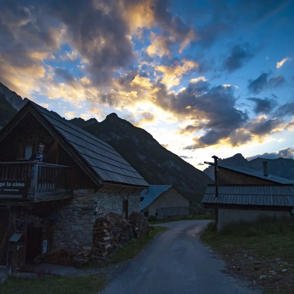
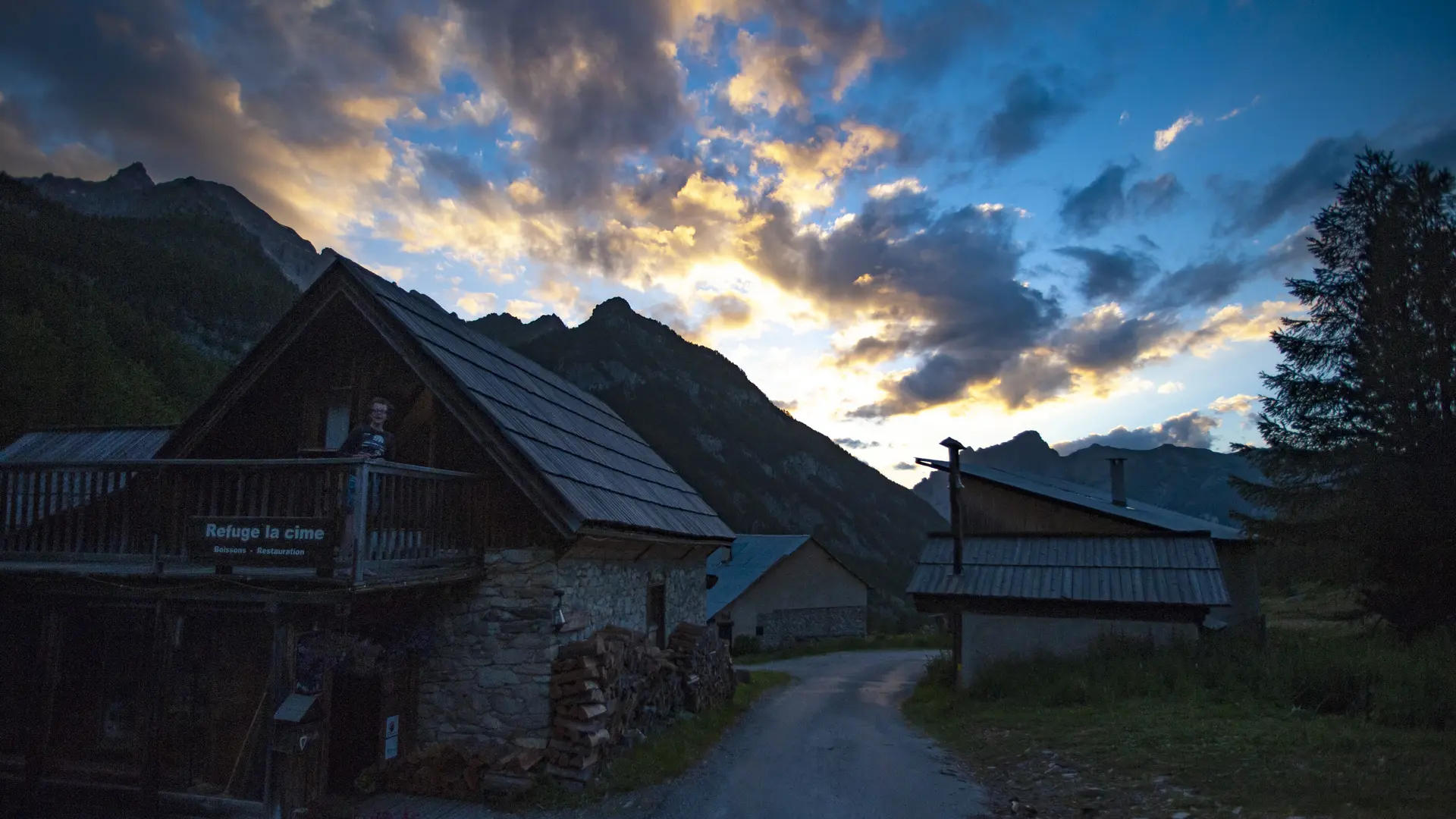
I decide to return via the very scenic trail connecting the hamlets of Touret and “Le Tioure” (1,850 m). The latter was permanently inhabited until 1945. But the 1978 avalanche wiped it off the map; only one chalet survived—the Colombet—which is still visible today.
6 – Le Villard
The balcony-like trail continues its beautiful ascent toward “Le Villard” (2,100 m). The final switchbacks overlook the Cristillan, a mountain as gentle as it is catastrophic.
The trail is open to the public year-round. It is passable depending on weather and snow conditions. Appropriate gear is therefore required.
A very easy route in the first part. The trail between Chalmettes and Tioure can be muddy and difficult if you don't have a mountain bike.
Autumn is a great time to admire the Jalavez larch forest. In summer, the Cristillan offers welcome coolness.
Further information on localisation
Further information on localisation
From the D902, after crossing the Combe du Queyras, take the D60 towards Ceillac.