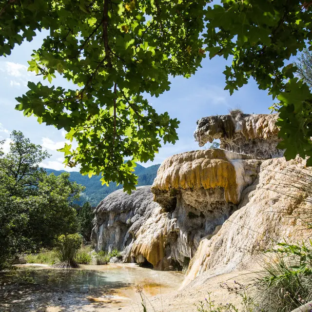
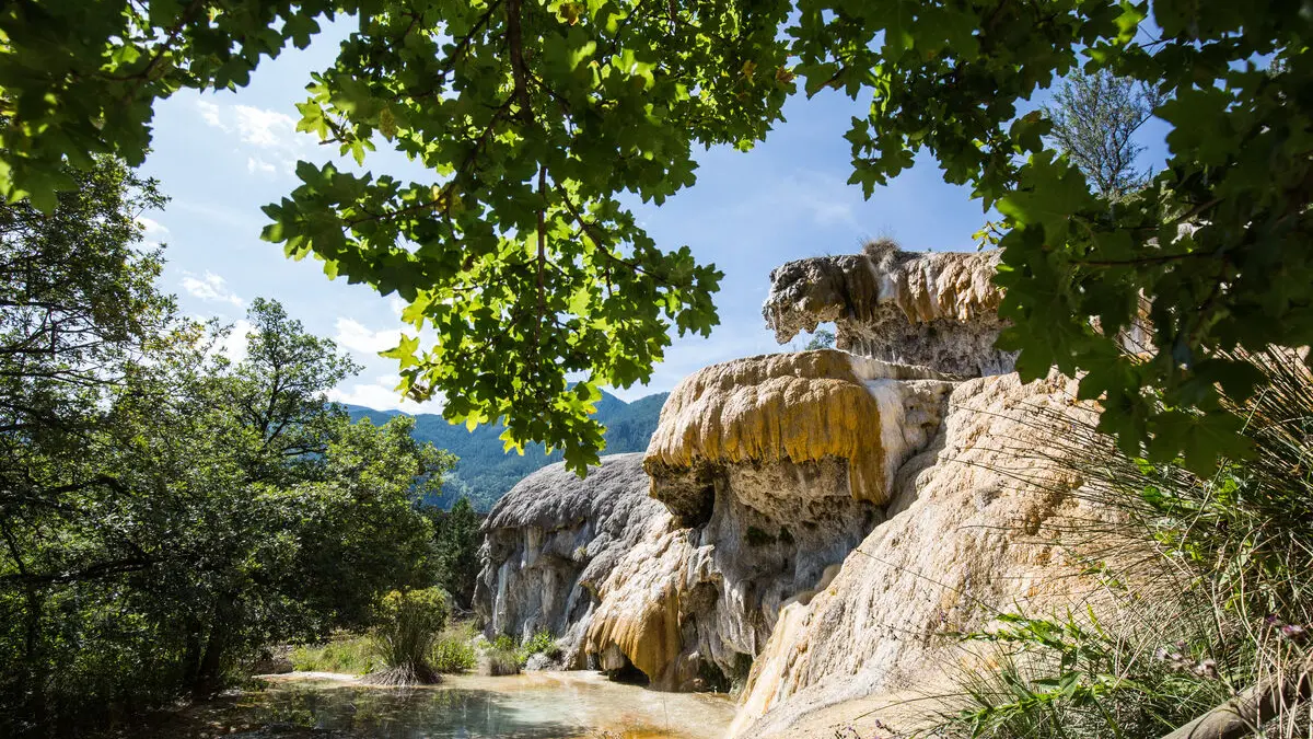
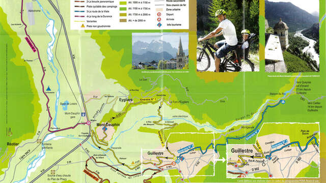
A relatively flat and easy back/forth ride (only 2 inclines of less than 100m height difference), following the Durance riverbank. This is a fantastic opportunity to discover the petrifying waters of the Reotier fountain or, for the more audacious, to explore the geological site of Barrachin, the final stop of this route. Distance : 6km out/ 6 km back.
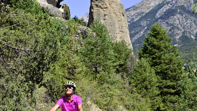
From National Route N94 toward Briançon, turn left onto Route D37 toward Réotier at the “La Taverne du Roy” hotel. Leave the hustle and bustle of the main roads behind and enjoy the tranquility of the river. The road then leads to the railroad tracks; after that, turn immediately left toward the “petrifying fountain.” From the fish farm and its romantic setting, the road climbs a little and passes in front of the Fontaine campground. At the intersection, go straight along this small paved road that runs alongside the Durance River all the way to St. Crépin. At the next intersection, you have two options: head up to the small hamlet on the left, or head toward the flatlands near the airfield by turning right and then immediately left, reaching a dead-end 800 meters further on that leads to the Barrachin site.