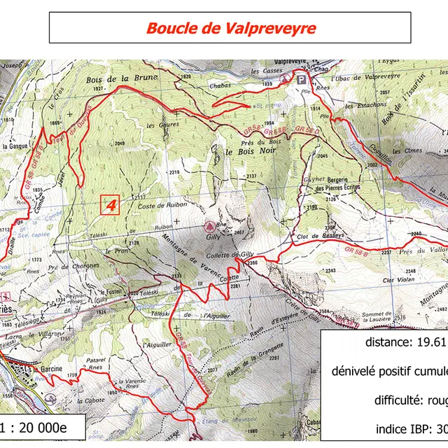
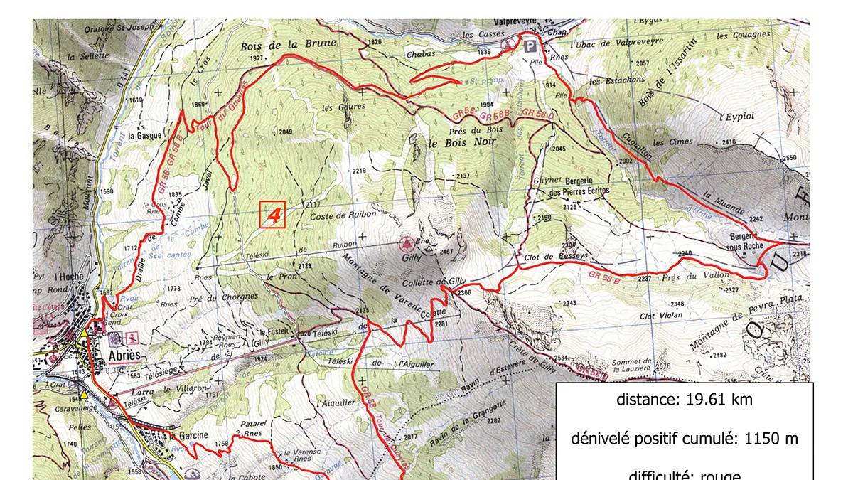
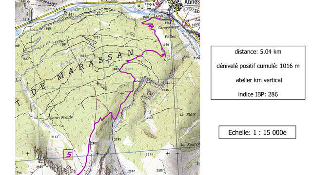
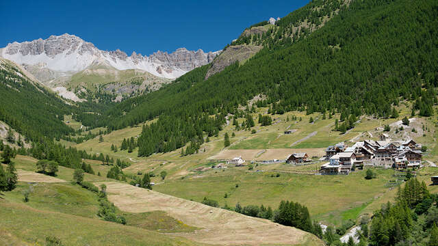
From Abriès, along the Bouchet, you'll find the yellow sign for the GR58 on the other side of the road, towards the hamlet of Valpreveyre. It's a pleasant trail through a larch forest. Don't hesitate to make the detour to this charming, authentic hamlet! Then return to the right bank of the Bouchet, cross the campsite and head for the Bergerie sous Roche, then the Bergerie des Pierres Ecrites, also worth a detour for its rock engravings. Afterwards, head for Colette de Gilly, a pass at 2366m altitude with a breathtaking view of the surrounding peaks. Then the GR58 passes a lookout point on Mont Viso and finally takes you back to Abriès at the hamlet of La Garcine.
In winter, from Pont de Chanterane to Pont de Peyre Bartino, the route is a cross-country ski trail! It is therefore reserved exclusively for cross-country skiing.
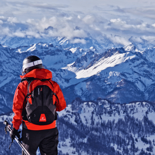
In spring and autumn, conditions are changeable, and even without snow, the trail can be icy. So, in the mountains, the reflex to adopt is "go out well-equipped". In my bag, I slip or I hang: crampons and poles.
In winter, the right reflexes are: snowshoes, poles, gloves, hat, sun cream and... a survival blanket! Experience is essential, and knowing when to give up is sometimes preferable to taking risks. And if you're new to the mountains, we advise you to seek professional advice! Before going out, I check the Météo France Montagnes and BERA bulletins (risks and avalanches).