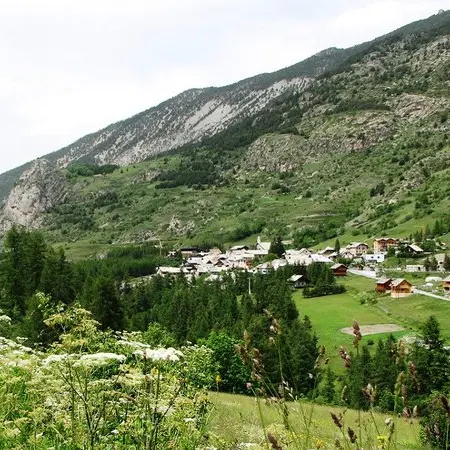
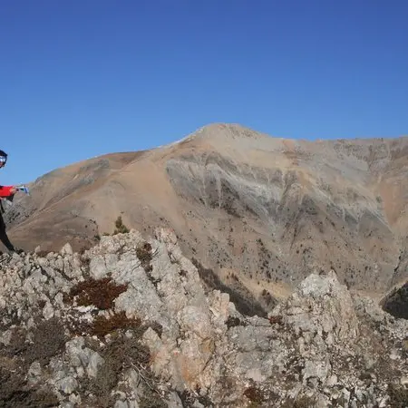
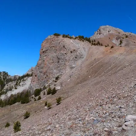
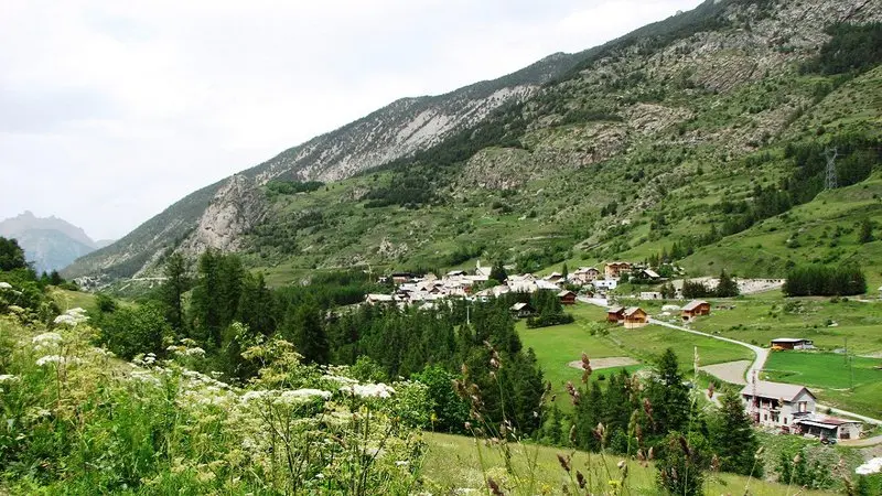
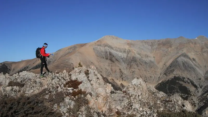
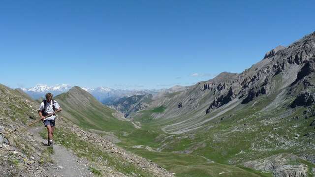
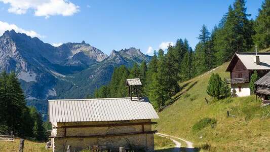
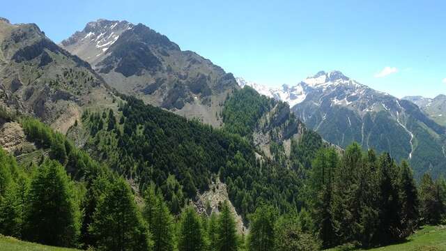
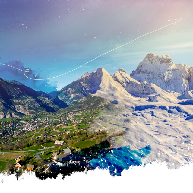
At the end of the village of Sainte Catherine in Vars, take the track on the left in front of the sawmill. The parking lot is a little further up on the edge of the forest. Off you go for the legendary Crêtes de Vars hike! Heading for the Col de la Scie, the gradual ascent leads through a forest of hooked pines and larches, a remnant of the reforestations of yesteryear when the bare slopes were eroded by the rains. At the pass, after some hard work on a scree slope, you reach the jagged ridge. To the north, the Écrins and their glaciers, and below to the east, the vast Vallon Laugier, are fully revealed. Reach the Col de la Coulette, where you may see a few edelweiss. Descend at the end of the loop to Sainte Catherine, with its airy head and the resort of Vars as a counterpoint, before returning to the car.
In winter, from Pont de Chanterane to Pont de Peyre Bartino, the route is a cross-country ski trail! It is therefore reserved exclusively for cross-country skiing.
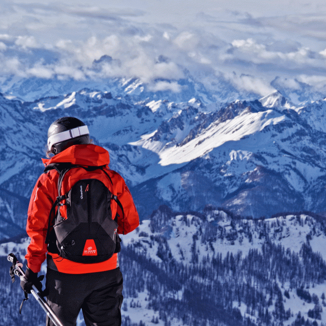
In spring and autumn, conditions are changeable, and even without snow, the trail can be icy. So, in the mountains, the reflex to adopt is "go out well-equipped". In my bag, I slip or I hang: crampons and poles.
In winter, the right reflexes are: snowshoes, poles, gloves, hat, sun cream and... a survival blanket! Experience is essential, and knowing when to give up is sometimes preferable to taking risks. And if you're new to the mountains, we advise you to seek professional advice! Before going out, I check the Météo France Montagnes and BERA bulletins (risks and avalanches).