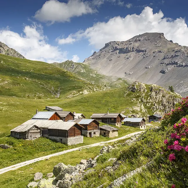
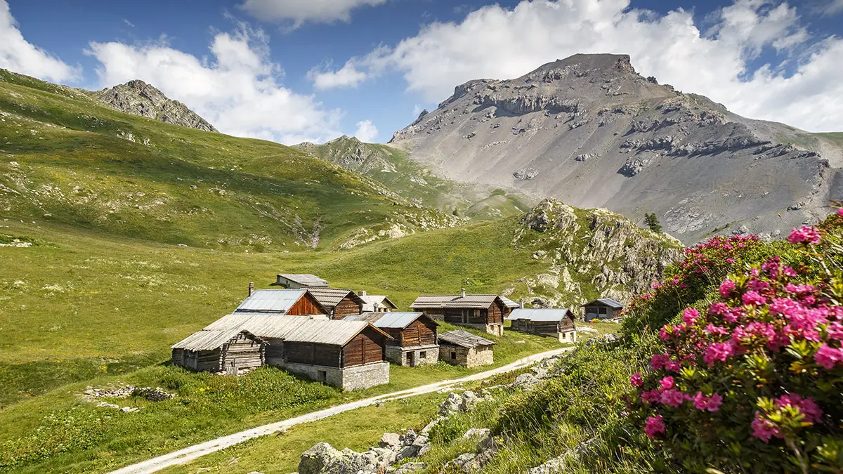
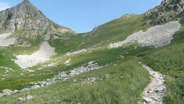
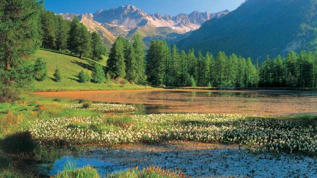
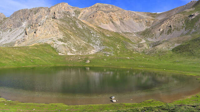
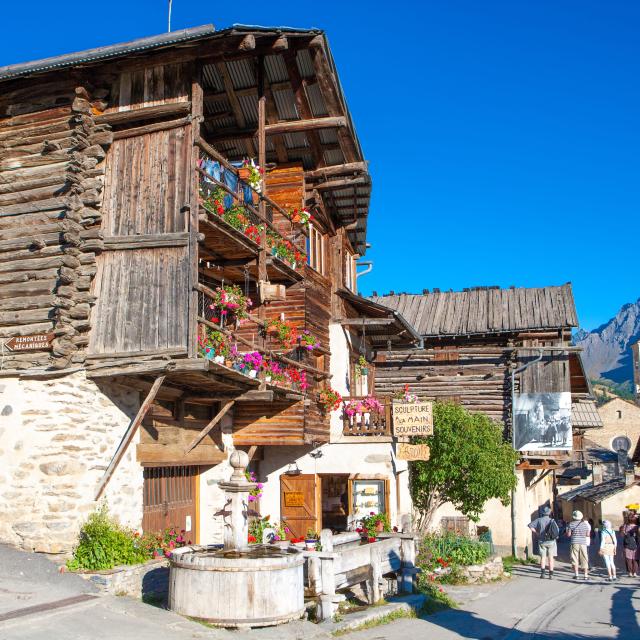
From the Jamberoute parking lot in Brunissard, follow the GR 5 trail along the torrent for three kilometers under the larch trees. A winding climb leads to a huge scree slope bordered by an imposing cliff, the Pra Premier climbing site. The path continues through a gully before landing in the other world, that of the alpine chalets of Clapeyto. Continue across the open grasslands to lakes overlooking the skies, perfect timing for a well-deserved lunch break! After refueling, continue over the Col de Néal and then the Col du Lauzon, where your efforts will be rewarded by a magnificent panorama. Descend straight down to Lac du Lauzon, between water and minerals, and back into the forest. For the short version, approx. 1h and 300mD+, departure from the Pré des Vaches parking lot to the chalets de Clapeyto.
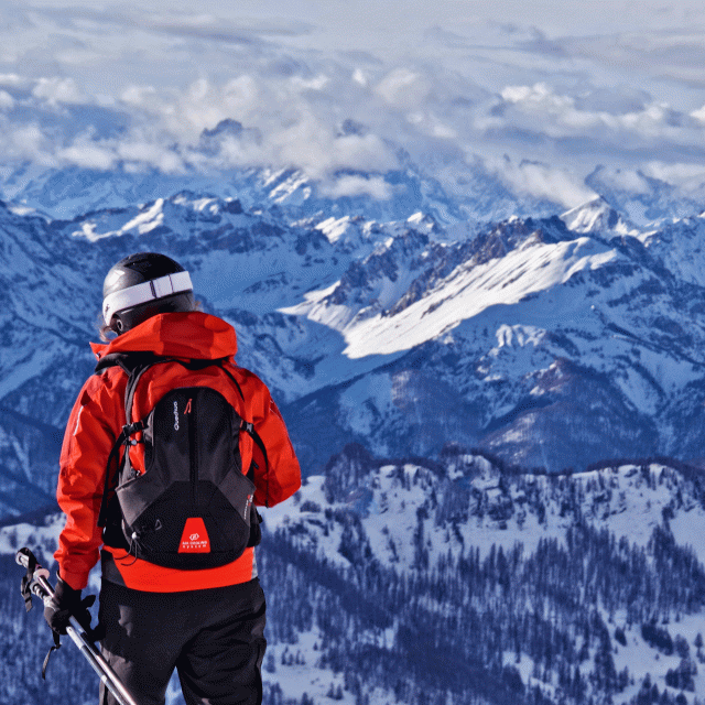
Conditions are changeable in spring and autumn, and even snow-free trails can be icy. So, in the mountains, the reflex to adopt is "go out well equipped". In my bag, I slip or hang crampons and poles.
In winter, the right reflexes are: snowshoes, poles, gloves, hat, sun cream and... a survival blanket! Experience is essential, and knowing when to give up is sometimes preferable to taking risks. And if you're new to the mountains, don't hesitate to call in a professional! Before going out, I check the Météo France Montagnes and BERA bulletins (risks and avalanches).