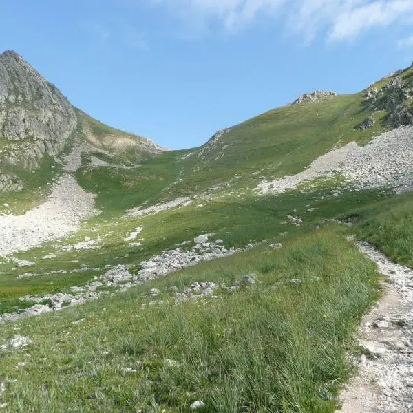
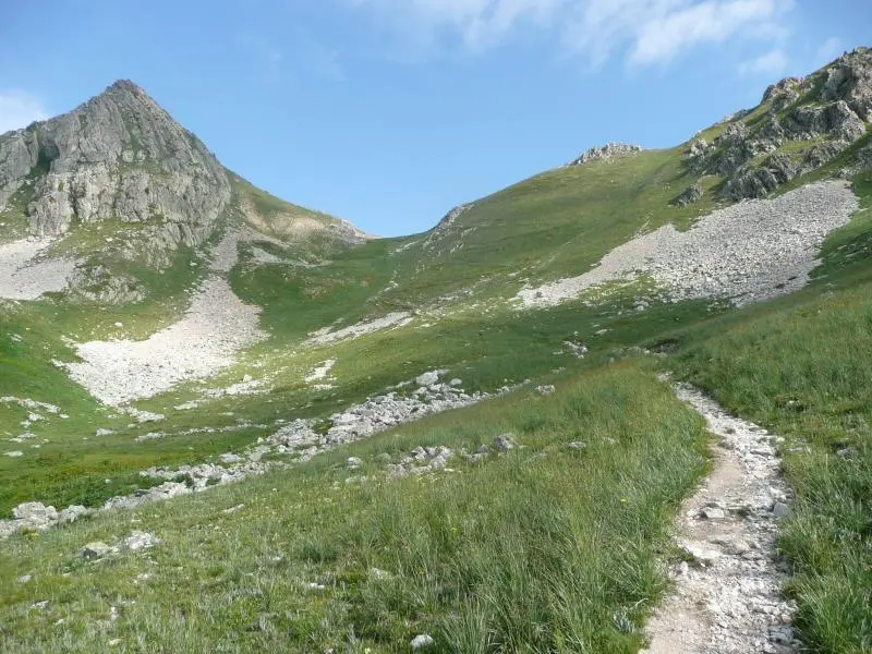
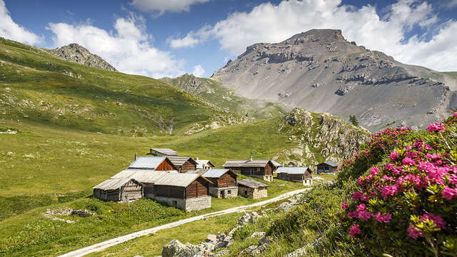
You can't stay in Arvieux without visiting the Clapeyto mountain chalets! You can even bet you'll be back! Drive to the Izoard campsite, cross it and continue to the end of the asphalt road - that's the start of the adventure! With the car parked at the small "Pré des Vaches" parking lot, the hike begins on the right-hand track, which climbs gently... then arrives at the first chalets in a pretty valley. It continues to the right along the path leading up into the flower-filled meadow. There's no room for error: it's always straight on to the pass, where you'll enjoy breathtaking views of the Grand Pic de Rochebrune and the highest peak in the Queyras: Font Sancte at 3342m! Descend by the same route. This pass is on the famous GR5 linking Lake Geneva to the Mediterranean. In the days before cars, Brunissard's inhabitants used to take this route to Briançon.
In spring and autumn, conditions are changeable, and even snow-free paths can be icy. As a result, the reflex in the mountains is to "go out well equipped". In my bag, I slip or hang crampons and poles.
In winter, the right reflexes are: snowshoes, poles, gloves, hat, sun cream and... a survival blanket! Experience is essential, and knowing when to give up is sometimes preferable to taking risks. And if you're new to the mountains, don't hesitate to call in a professional! Before going out, I check the Météo France Montagnes and BERA bulletins (risks and avalanches).